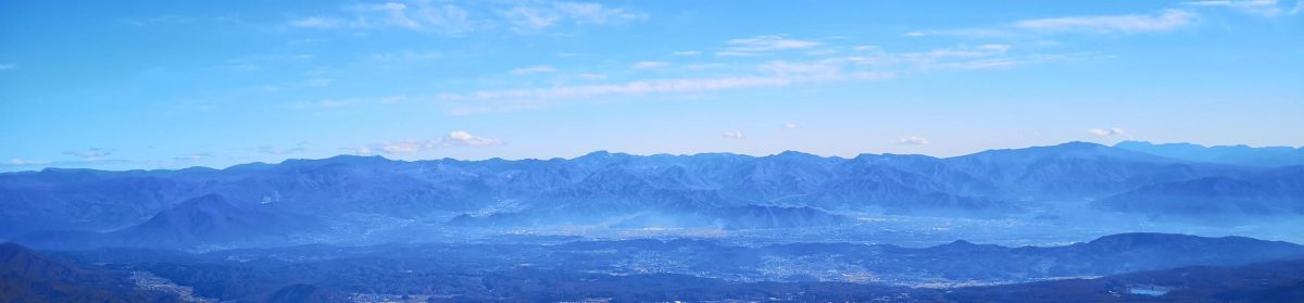
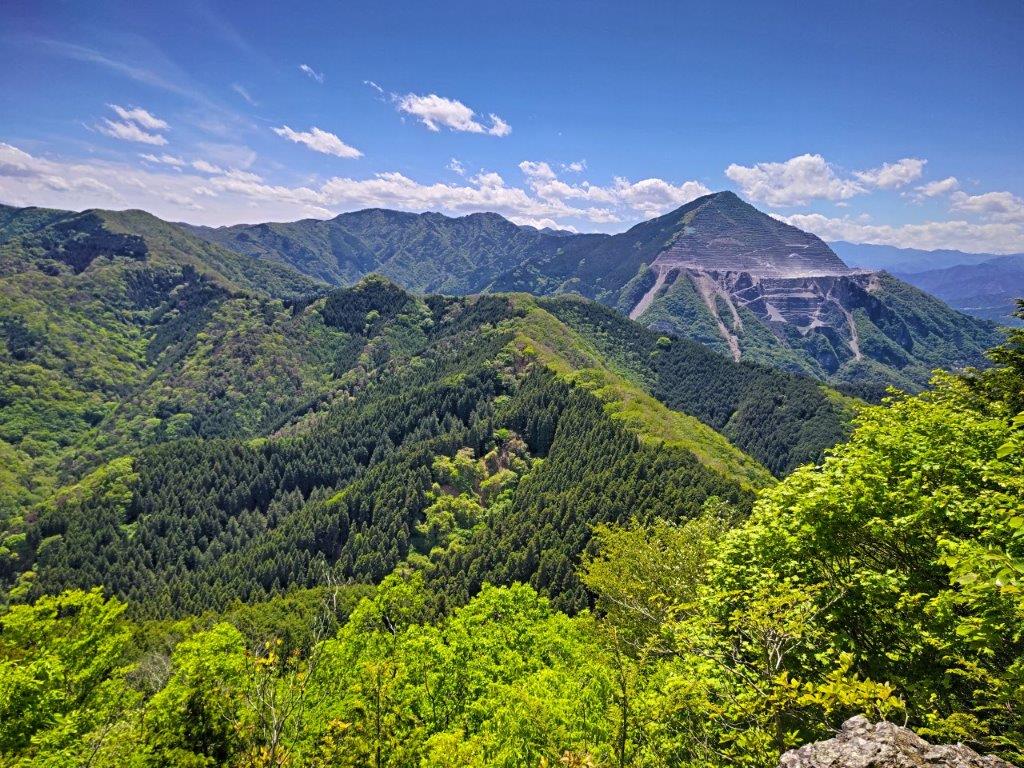
I had already climbed these twin peaks after traversing from Mt Takegawa in January 2013. Back then, I descended a deep valley to Ashigakubo station, as recommended by my guidebook. Looking at my map, I noticed a ridge route passing by a shrine with a view of Chichibu valley. It also ended at Ashigakubo, meaning I could redo this hike as a station-station loop hike. This time I’d ascend via the ridge and descend via the valley; from the top, I could extend the hike with a round-trip to a nearby minor peak. I could also check out a secret viewpoint of Mt Buko near the higher “Male” summit.
Hiking in Oku-Musashi 奥武蔵
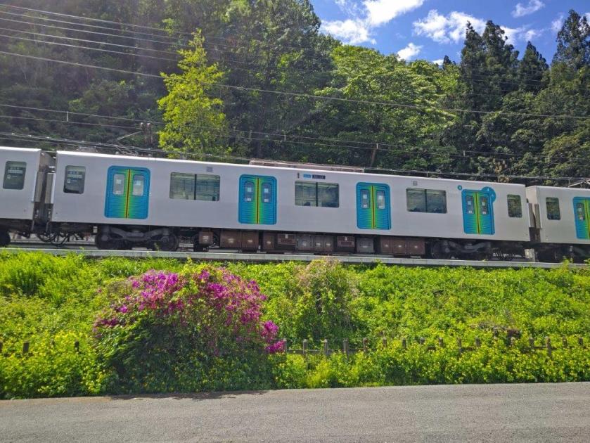
To get to the start of the hike, I’d take the Seibu Laview limited express from Ikebukuro to Yokoze station, and there, hop on the Seibu-Chichibu local line for the one stop ride back to Ashigakubo station. For the return, I’d ride the local train back to Yokoze and then walk about 10 minutes to Buko Onsen which I had visited several times before. After a hot spring bath, I’d make my way back to the station where I’d board the limited express for Ikebukuro. The weather was supposed to be slightly cooler than last week but just as sunny. I was looking forward to revisiting a previously climbed mountain in a different season.
Find my Hikes on Japanwilds
Find Japan Hiking Maps on Japanwilds and subscribe to our newsletter
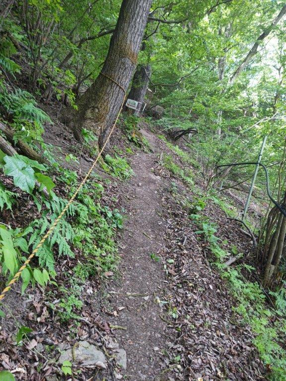
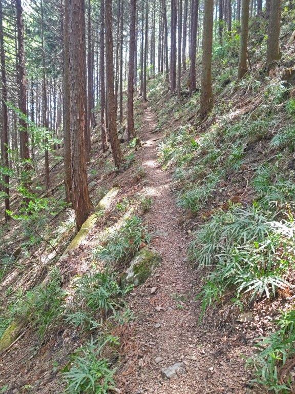
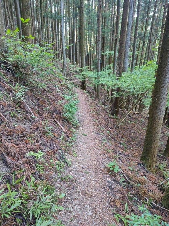
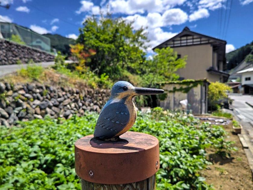
Start of the Hike (left) Going up the Ridge Route (right)
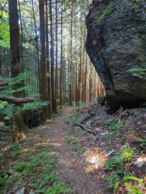
Going down the Valley Route (left) End of the hike (right)
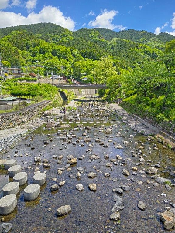
It was a beautiful Spring day as I rode the Laview limited express through the forested hills of Oku-Musashi; I was surprised by how few people got off the train at Ashigakubo station shortly after 10am. As I got ready, a fresh breeze combined with some clouds blocking the sun forced me to add a layer of clothing despite the mild temperatures. At 10h30, I set off, and after crossing the wide Yokoze river, turned left onto a National Road which I followed for a short way before turning left again and re-crossing the river. I soon spotted the start of the trail on the right, disappearing into a tunnel under the railway tracks.
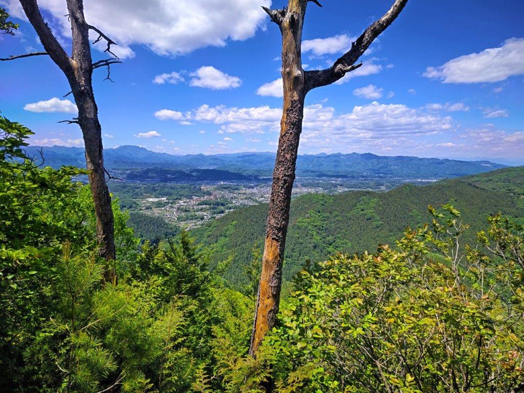
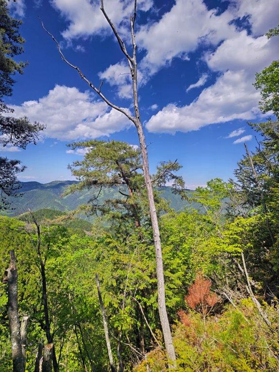
View from Fuji-Sengen Shrine
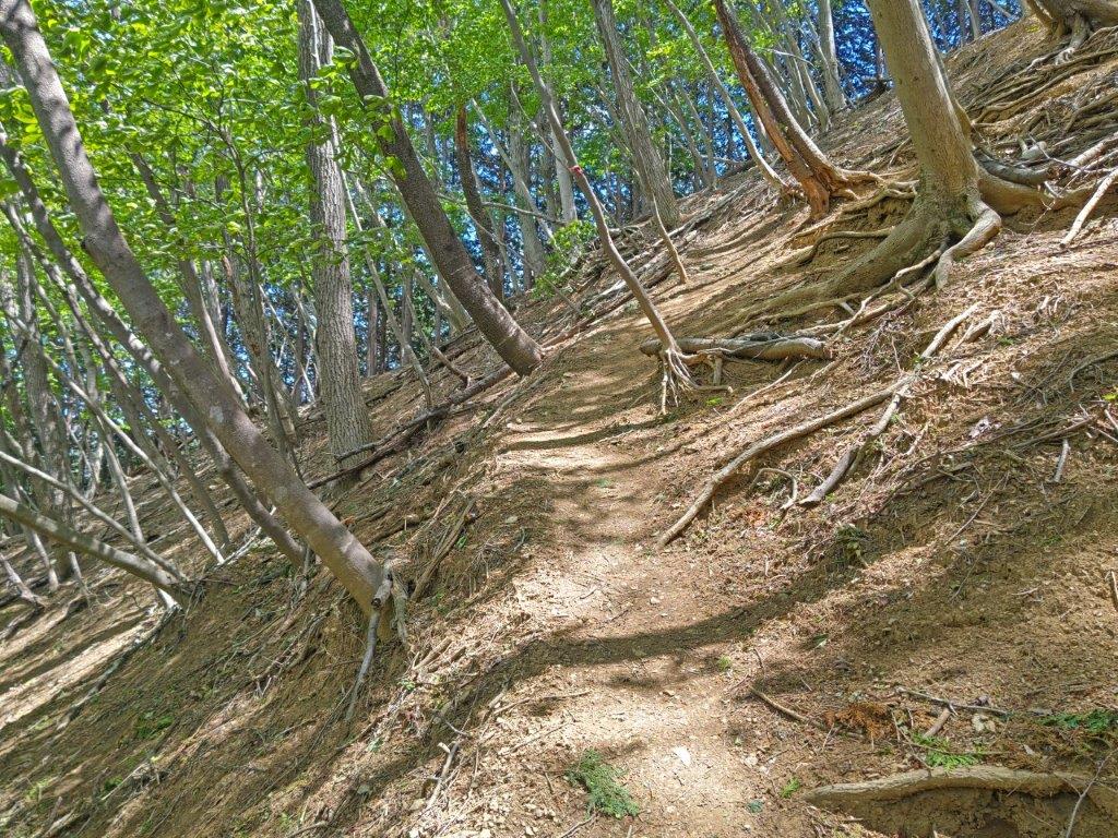
Trail between Sengen Shrine and Mt Futago
On the other side, I came upon a wooden Shinto Gate (“torii”), its white paper zigzag streamers (“shide“) flapping in the wind, surrounded by sunlight-bathed forest, the sun now free of clouds. After passing under the gate, I reached a junction for the Ashigakubo Icicles, closed in this season. I followed a narrow switchback trail up a steep slope, fitted with rope for safety. After this strenuous start, the trail gradually became less steep; surrounded by towering cedar trees, it had the feel of a typical trail of the area. One hour after setting off, I reached a short, rocky section, at the top of which was the Fuji-Sengen Shrine (冨士浅間神社 590m), with a view on the west side.
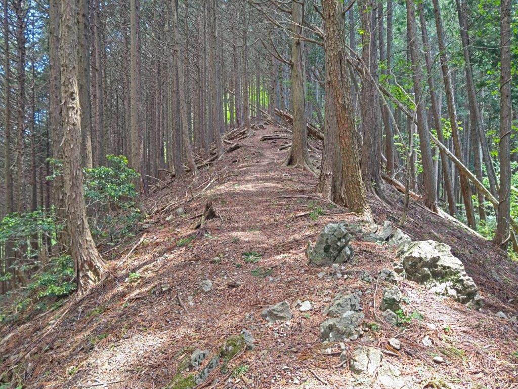
Near the Top of the Ridge Route
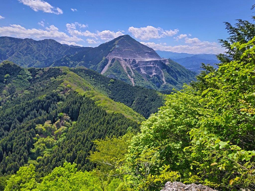
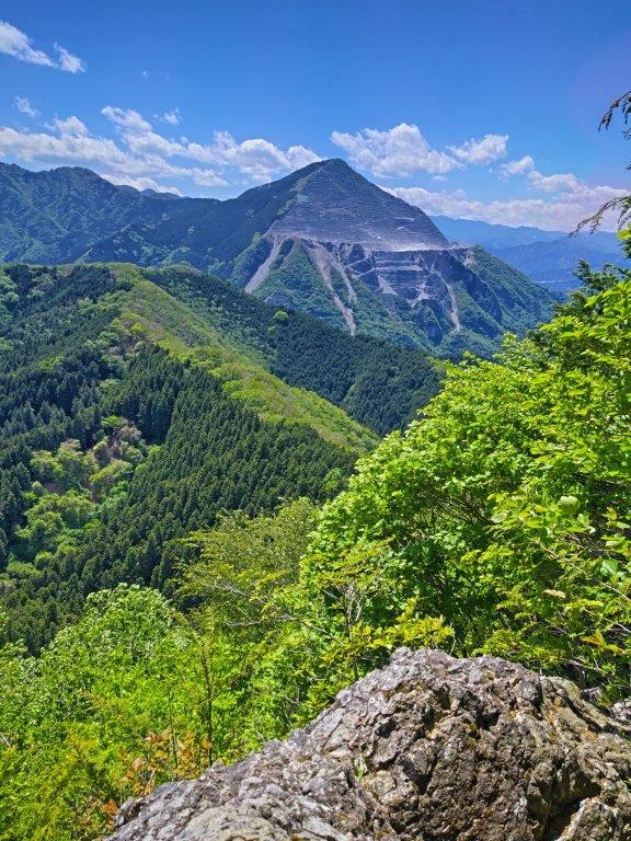
Mt Buko from the Secret Viewpoint
I had a view of the Chichibu Basin framed by two standing dead trees. To the left was the jagged top of Mt Ryokami and to the right, I could see the entire length of the Minano Alps. After a short break, I resumed my hike, now following the forested ridgeline southwards. While navigating another rocky section, I passed a middle-aged man in shorts, looking slightly exhausted but on his way down. At 12h30, I arrived at the lower, “Female Summit” of Mt Futago (二子山雌岳 ふたごやまめだけ futagoyama-medake 870m). It was completely in the trees so I quickly moved on.
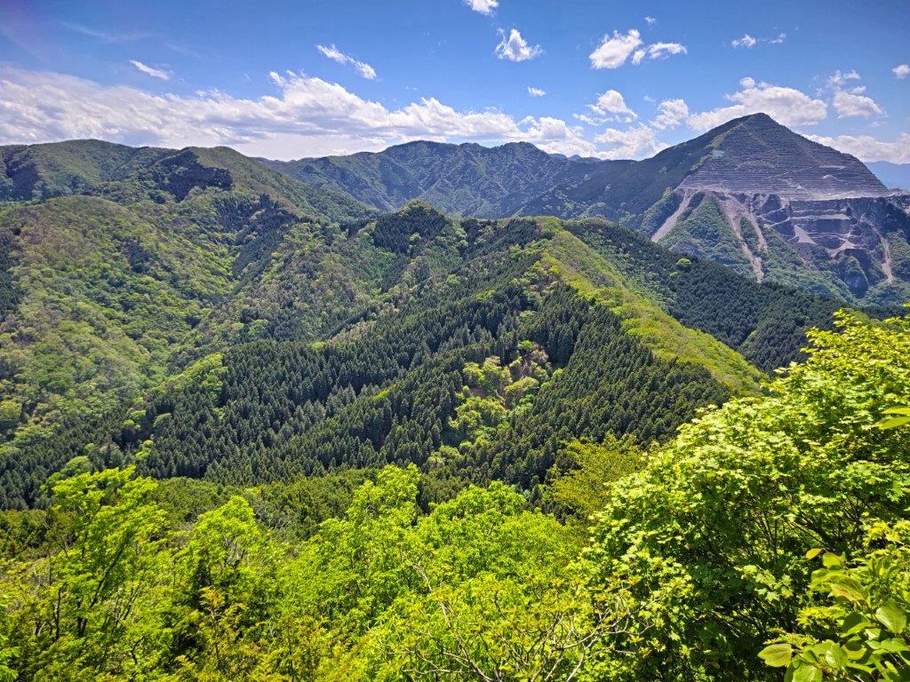
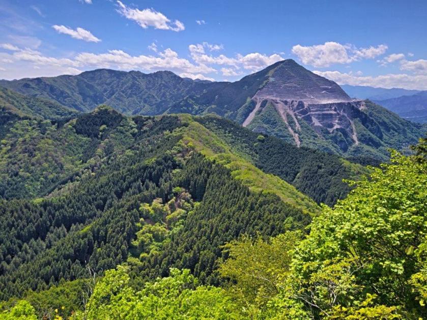
Mt Takegawa (left), Mt Komochi (center) & Mt Buko (right)
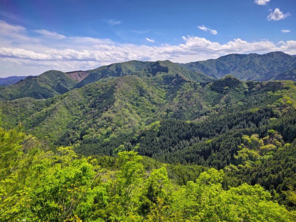
Mt Takegawa, a Kanto Famous Hundred Mountain
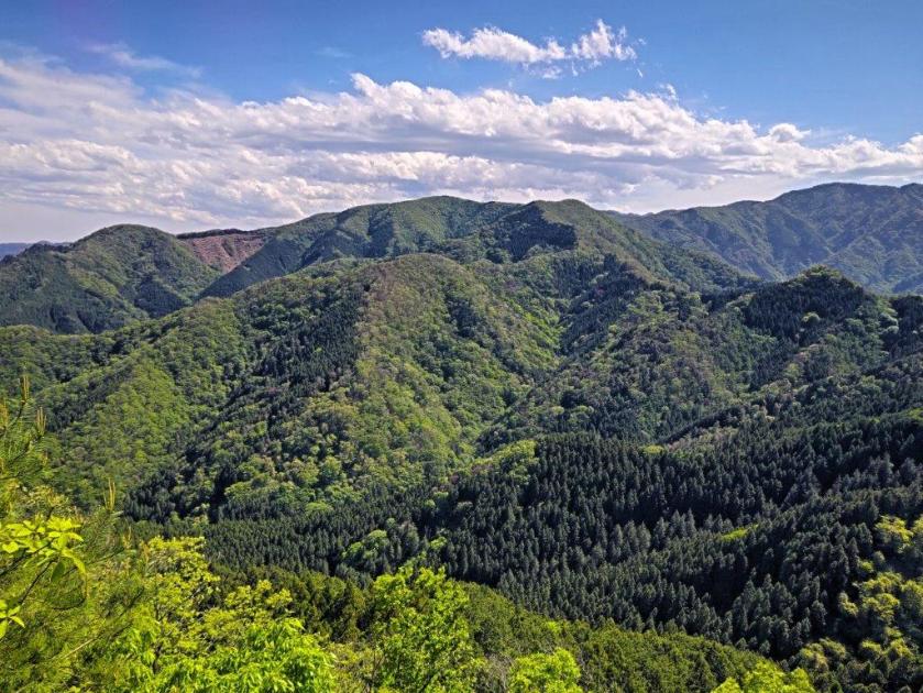
After carefully descending a short but tricky rock section, I made my way up a short but steep slope on opposite side, and very soon reached the slightly higher “Male Summit” of Mt Futago (二子山雄岳 ふたごやまおだけ futagoyama-odake). Walking a few meters past the summit marker, I could get a view of the Chichibu Basin and Mt Buko, beyond waving green leafy branches. I then headed left through the cedars, ignoring the trail for Mt Takegawa, and found a rocky spot to the right of the trail, at the top of a steep drop-off on the west side of the mountain.
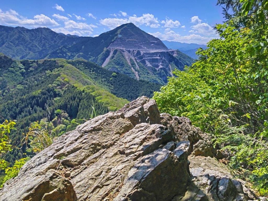
Rocky spot with a View
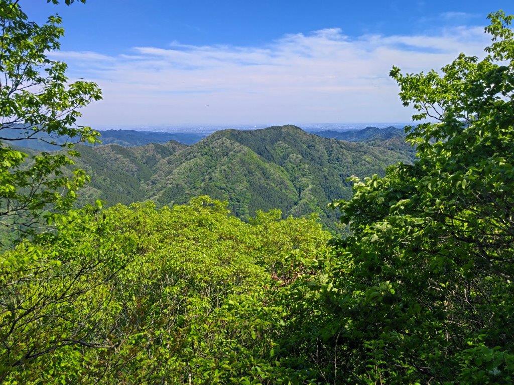
Mt Izugatake from Mt Konita
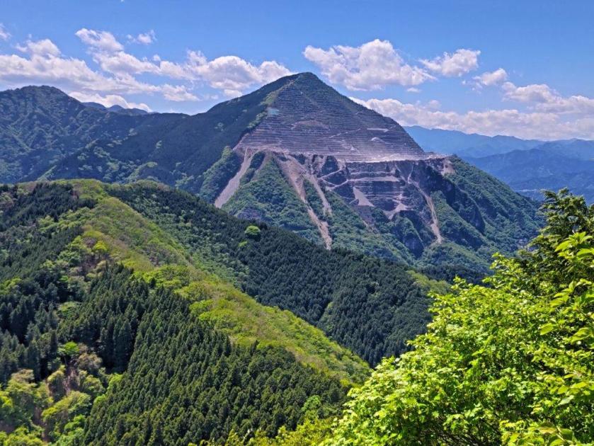
I had a spectacular view of the triangular summit of Mt Buko, probably the best view I’ve ever had of this mountain; to its left were the more rounded summits of Mt Komochi and Mt Takegawa. Since it was nearly 1pm, I made myself as comfortable as I could on the rocky surface for lunch with a view. Even though, there were other hikers on the mountain, no one came by this hidden viewpoint. Half an hour later, I set off again, down a faint trail following a narrow ridgeline as it extended eastwards. It soon became level and a break in the vegetation allowed glimpses of Mt Maru on the left side.
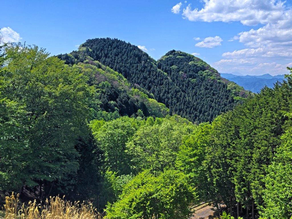
View of Mt Futago from Mt Konita
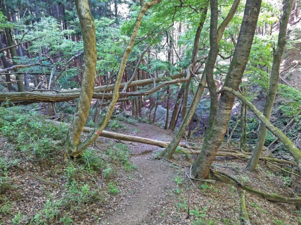
Descending the Valley Route
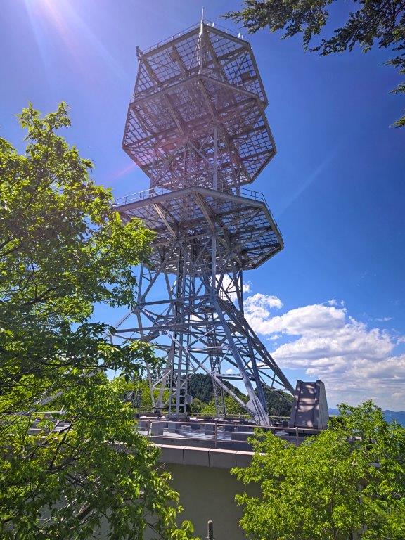
Shortly after re-entering the forest, I reached a sudden rocky drop where I let myself down carefully. The path continued to descend through the forest; I saw no other hikers during this section and it felt remote and wild. The path levelled and a road appeared on the left. I spotted the white building, and antenna, of the Ashigakubo relay station located just below today’s next summit. The trail took me around the back of the building and up a smooth bedrock to the top of Mt Konita (甲仁田山 こうにたやま 847m), sadly lacking a summit marker. It was mostly in the trees, but by following the ridge a short way, I got a view of Mt Izugatake to the south, with the Kanto Plain in the background. I then followed some log steps to the road, and turned left.
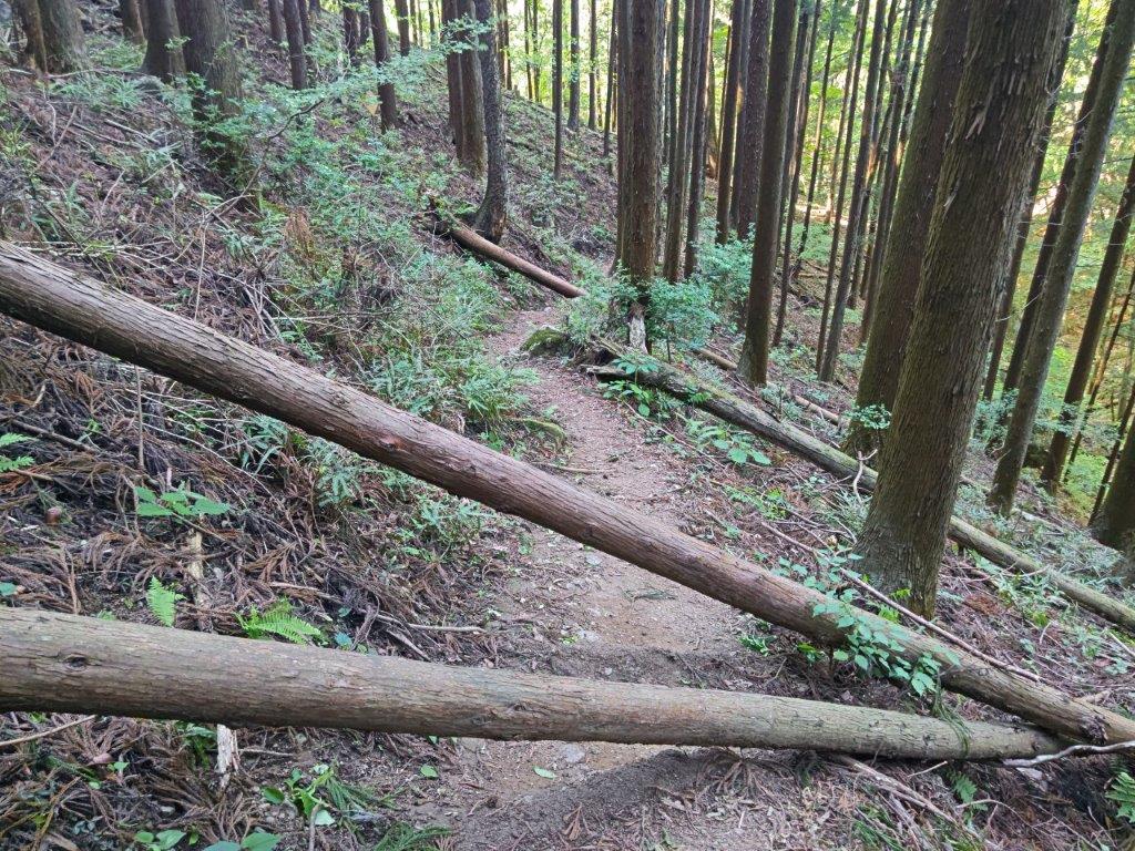
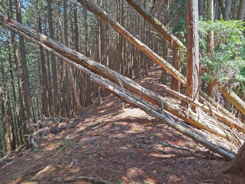
Fallen Trees on the Way down Mt Futago
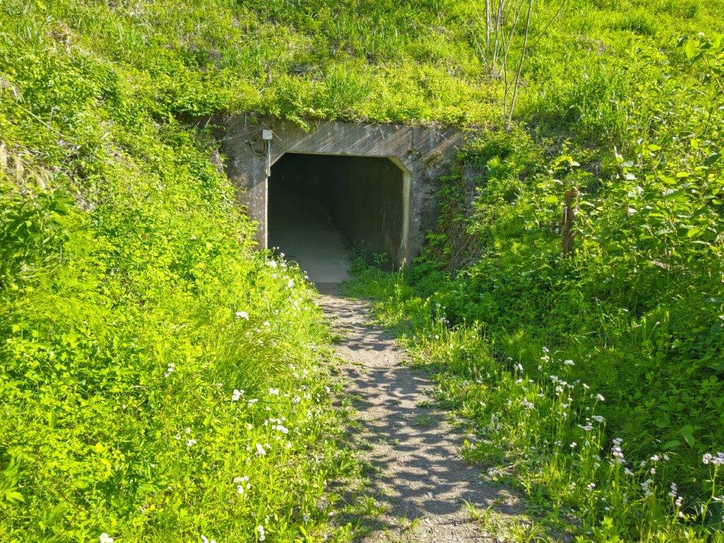
Tunnel at the End of the Hike
Looking right, I was rewarded with a perfect view of the twin peaks of Mt Futago. I made my way back up the same trail, some effort required to pull myself up the rocky drop. Coming from the other direction, I found that I could go around the other side of the “Female Summit” and thus avoid the tricky rock section between the two peaks. A little after 2pm, I started down the valley route. At first the trail headed straight down, lined with ropes for safety. Eventually it turned into a pleasant ridge trail through mixed forest. At a signpost, I turned left and followed a switchback trail into the valley, the path turning rocky as it followed a dry riverbed. I remembered very little of my previous hike since I had descended in a hurry in semi-darkness. Suddenly, a hiker going in the opposite direction said “Didn’t I meet you on the other trail?” This was the middle-aged man I had passed earlier in the day. He told me he had been going up and down the mountain all day; no wonder he looked exhausted, although he told me this was his last loop.
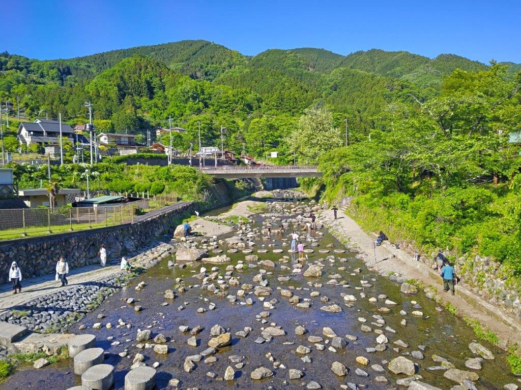
Yokoze River at the End of the Hike
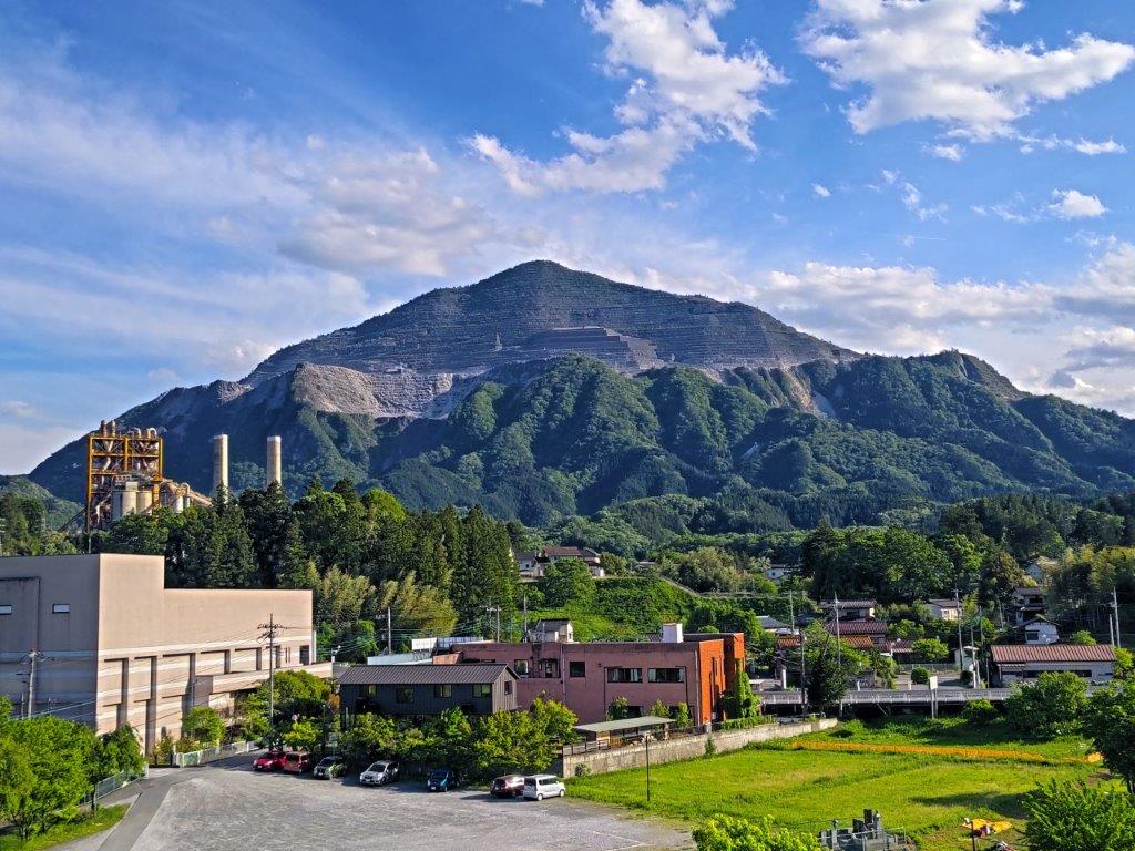
Mt Buko seen on the Way to Buko Onsen
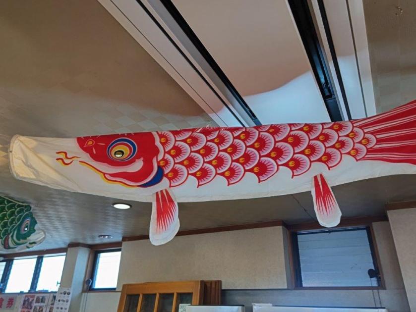
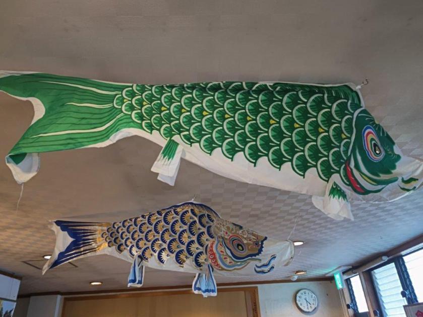
Further down, I suddenly found myself walking along a stream, the trickling water appearing out of nowhere. Several fallen trees across the trail enhanced the spooky atmosphere of the deeply shaded valley. After crossing a small bridge, I reached the valley base and at 3h30, I popped back in the sunshine at the end of a tunnel under the railway tracks. After a short break at one of the sunny tables outside the Ashigakubo Road Station (“michi no eki“), I boarded the train for Yokoze; it was a pleasant walk to Buko Onsen, with lovely views of Mt Buko and Mt Futago in the late afternoon light. The interior of the hot spring resort was decorated with colourful carp streamers (“koinobori“) left over from Children’s day. After a refreshing bath, I made my way back to the station where I boarded the Laview around 5h30 for the 80-minute ride back to Tokyo.
Watch a Video of the Hike

See More Pictures of the Hike

