
I wanted to do my year-end hike inside Tokyo since it’s the one time of the year local lines are mostly empty, as people head to their hometowns for the year-end holidays. The shorter travel times and lower elevations are also better suited to the short, cold days of winter. Finally, I was keen to continue exploring the network of trails south of the Tama river, often overlooked in my quest to scale new peaks.
Path above (left) and behind (right) Myoken-ji
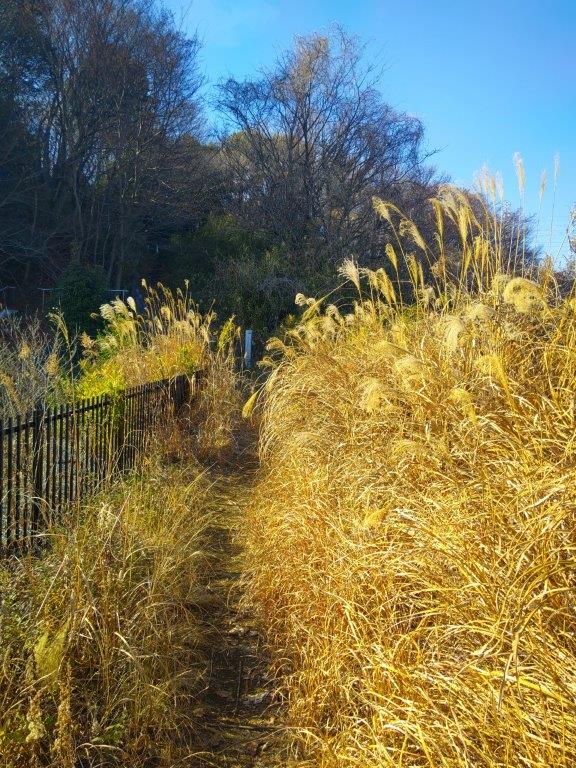
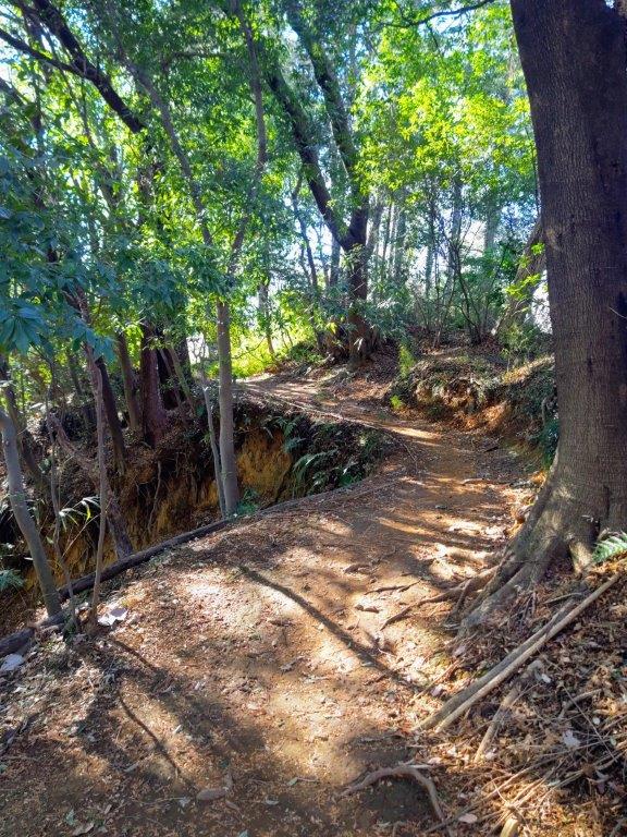
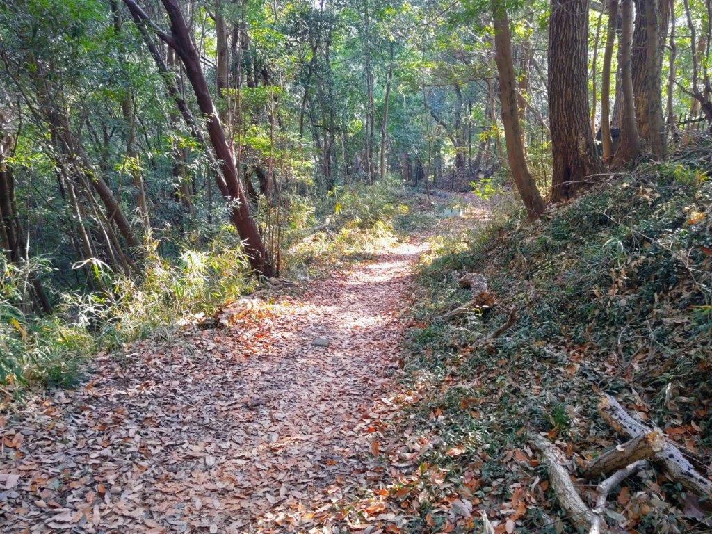
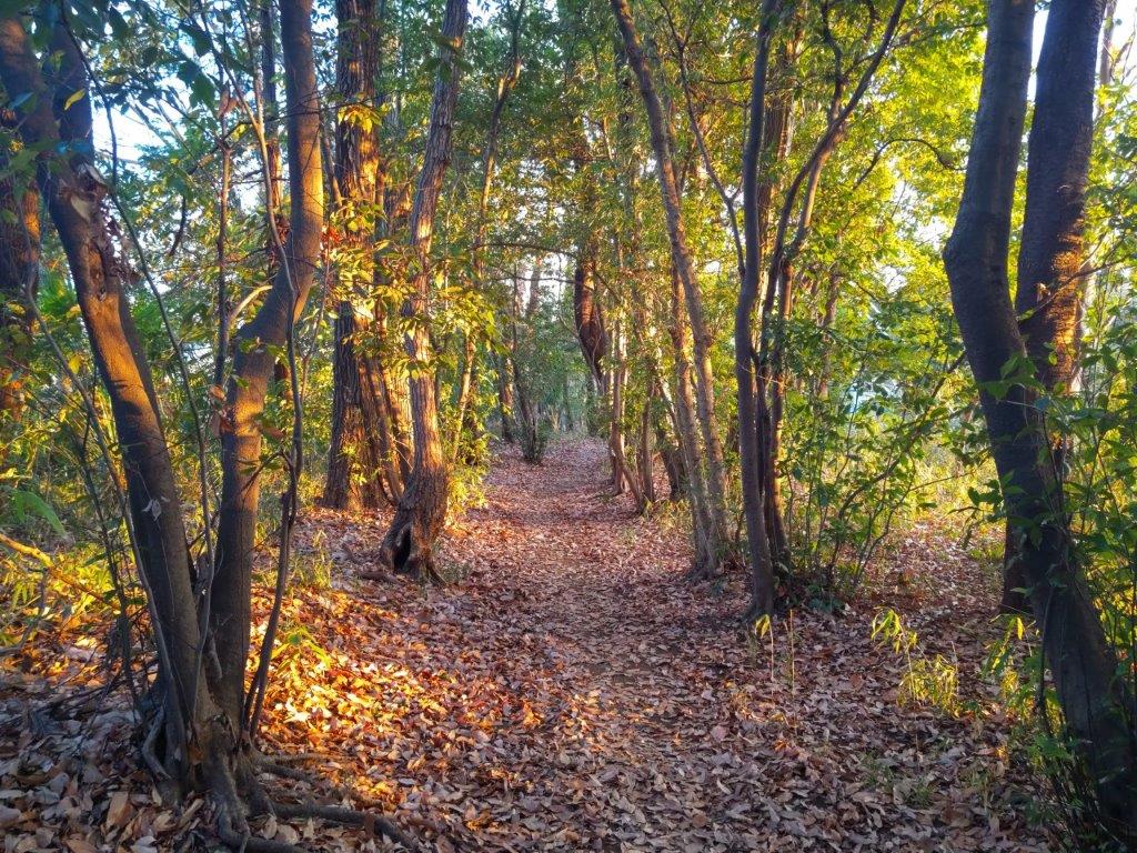
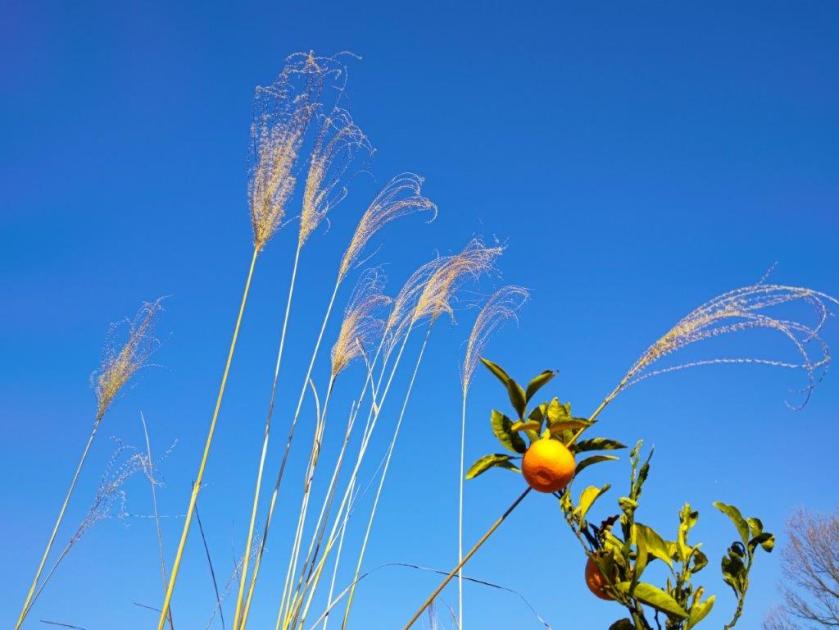
Steps (left) and Susuki (right) on the Shinrinyoku Route
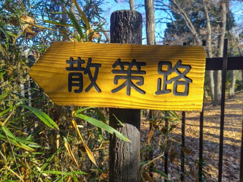
Looking at my map, I picked a station to station hike easily accessible from the city center. I’d ride the Keio Sagamihara line to Inagi station, just 30 minutes from Shinjuku, and first explore the forested, hilly area above Myoken Temple. I’d then head southwest along the Misawa River valley to Kurokawa station. Next, I’d follow the “Forest Bathing” route southeast to Kurihira station. Finally, I’d continue in the same direction along an unnamed ridge path and finish at Satsukidai station on the Odakyu Tama line, also 30 minutes from Shinjuku.
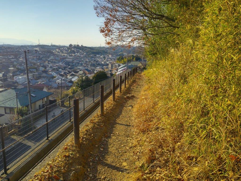
Walking above Shinkoji Park (left) and Town (right)
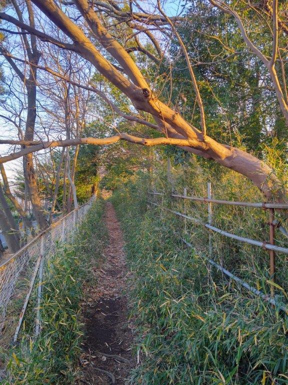
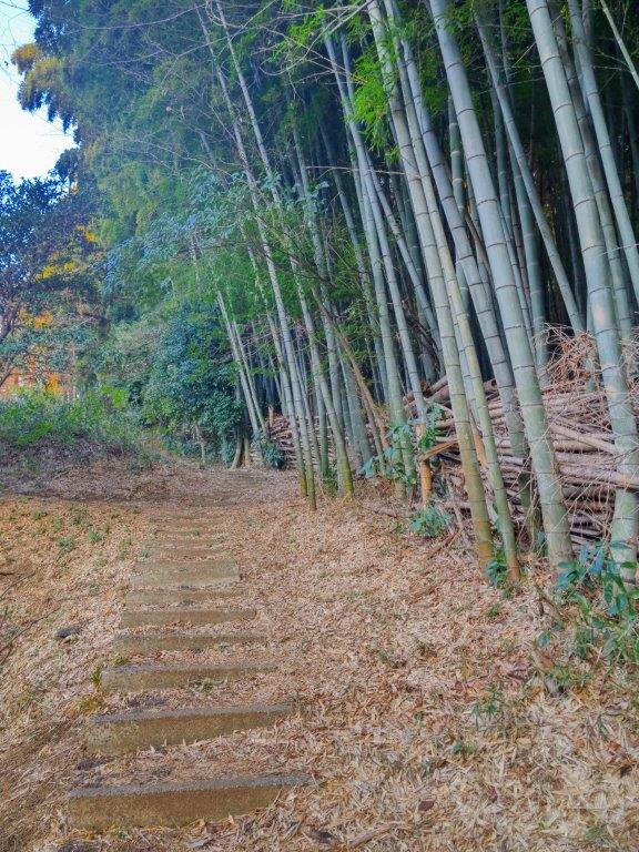
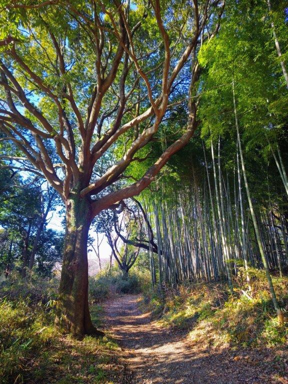
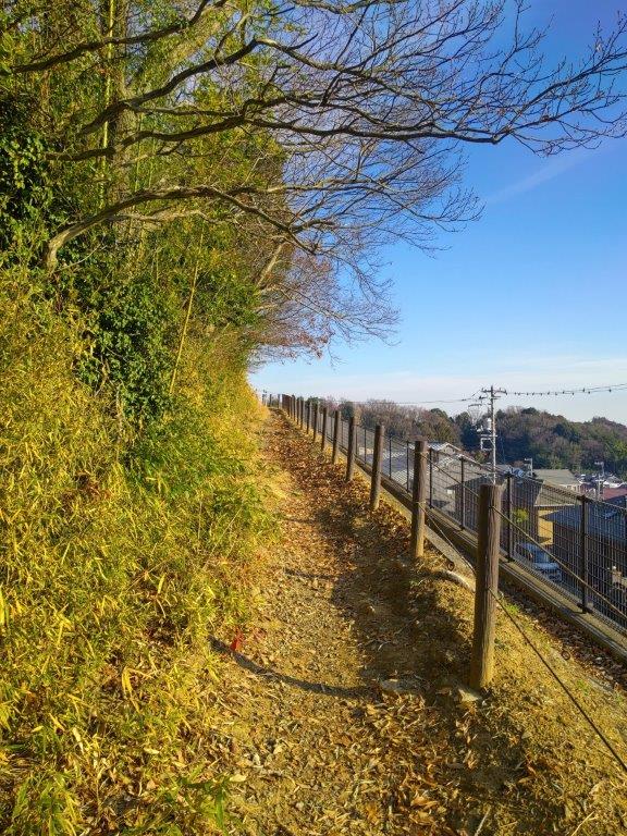
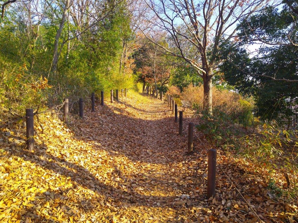
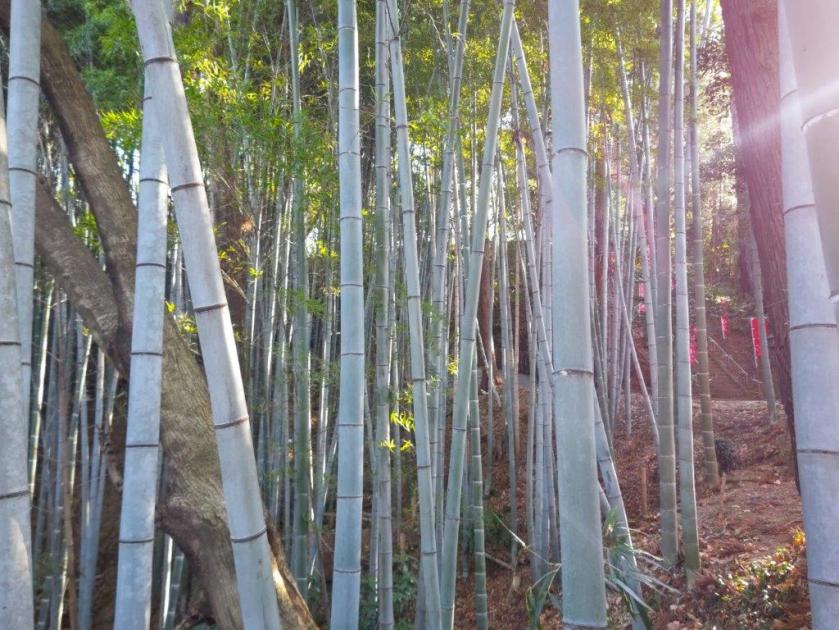
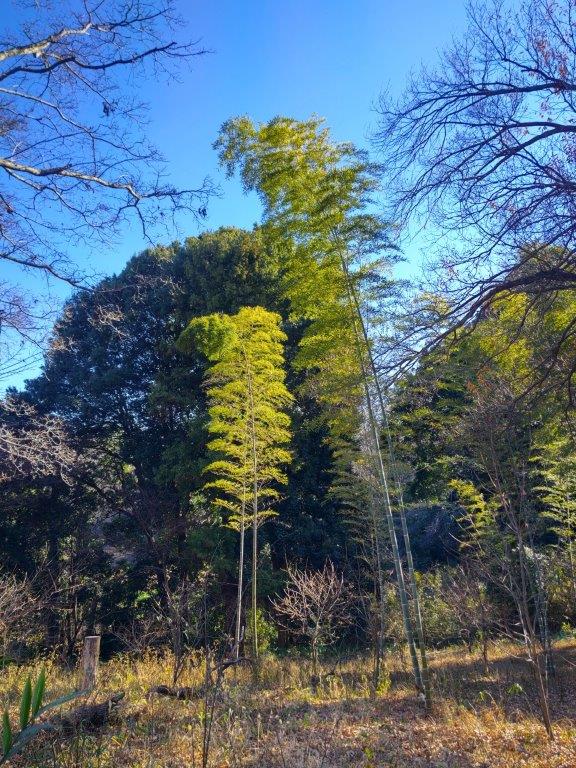
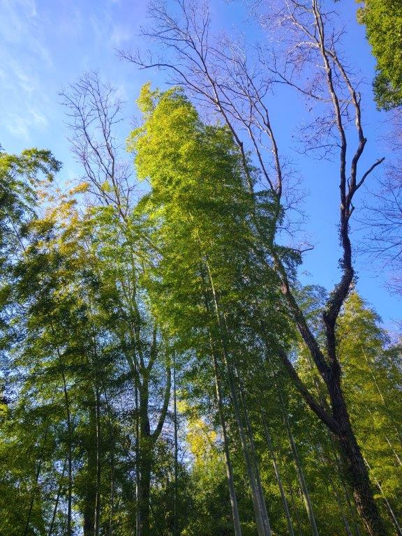
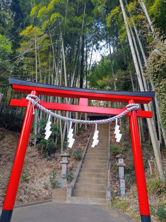
Path past Kurihira (left) Bamboo Grove before Satsukidai (right)
The weather was supposed to be sunny all day with temperatures cold for the season. Although my planned route didn’t include any summits, I hoped to get views of Tokyo, the Kanto Mountains, as well as snow-capped Mt Fuji. I was looking forward to enjoying various “Satoyama” sceneries along the way.
In the end, I decided to break the hike into two parts: I finished at Kurokawa around 3pm on the 28th, and started again from Wakabadai, one station down the line, around 1pm, on the 30th, each section about 3 hours. The weather on the 30th remained sunny but with temperatures warm for the season.
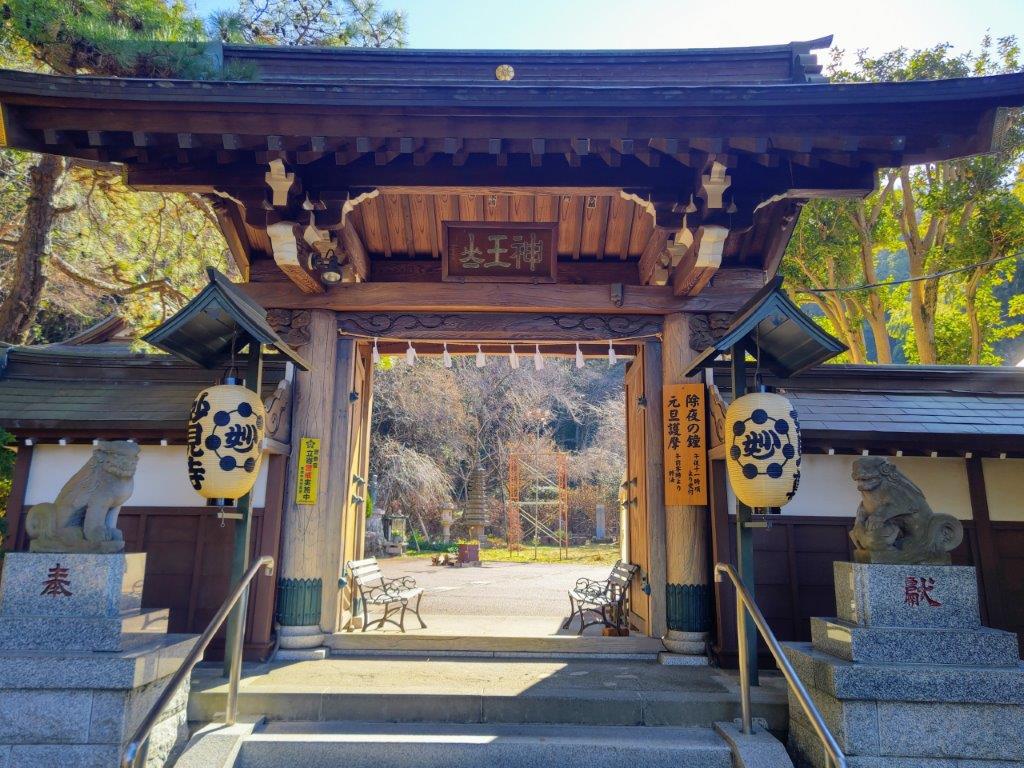
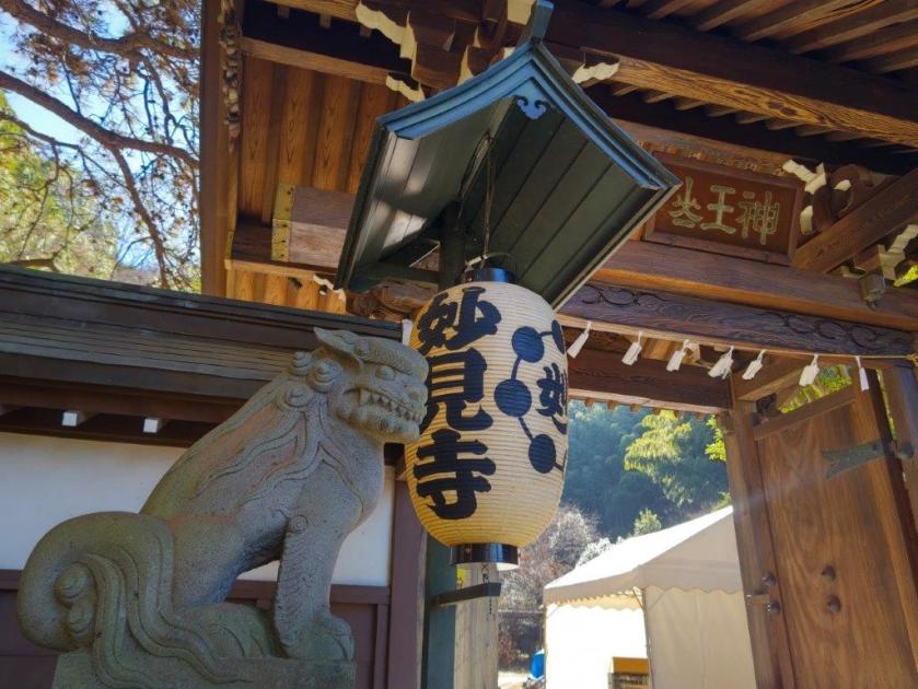
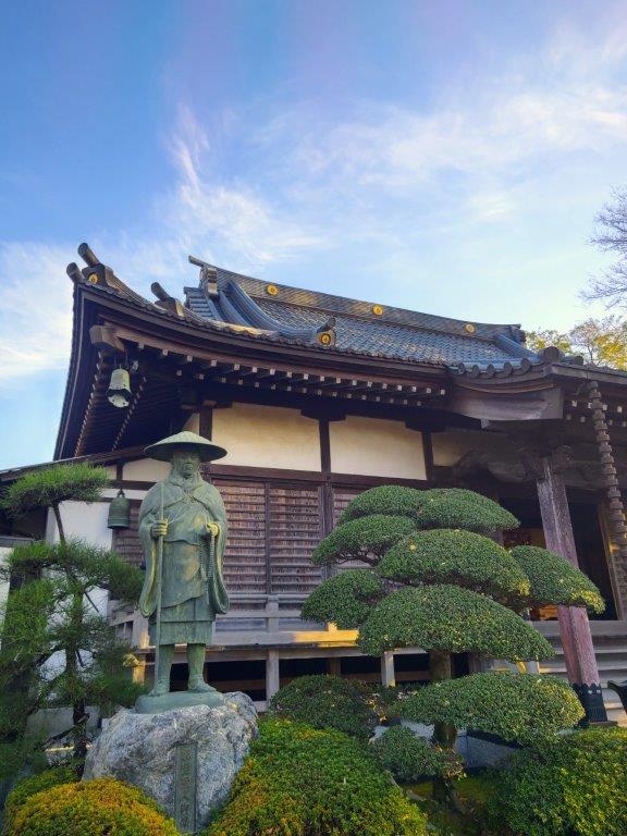
Entrance to Myoken-ji Temple
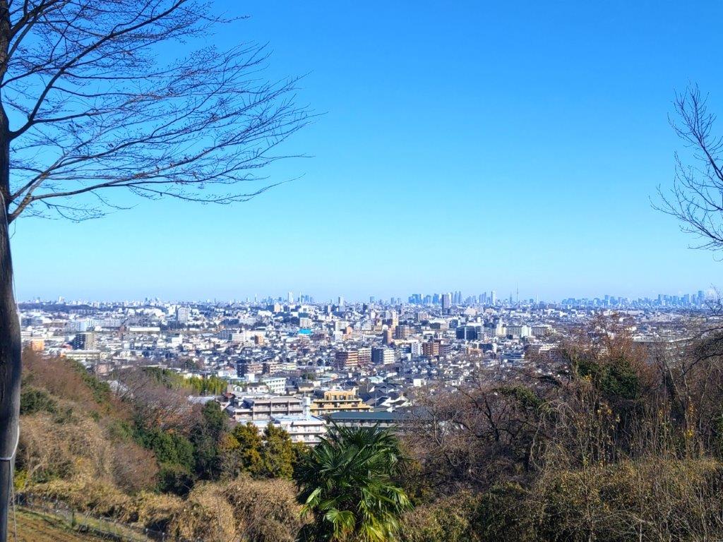
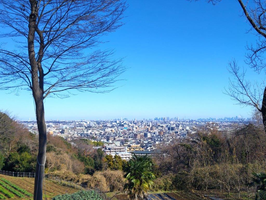
View of Central Tokyo from Yushi no Satoyama
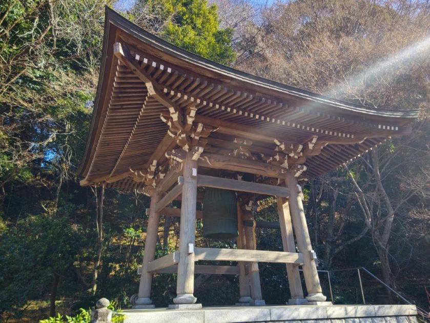
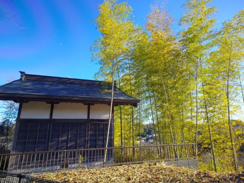
It was a crisp, cold winter day as I exited Inagi station around 1130am. A short walk brought me to the entrance of the peaceful Myoken-ji temple (妙見寺). After checking out the bell tower, I headed up a steep flight of stone steps to a shrine gate; beyond, a paved road continued uphill through a bamboo grove ending at Myoken shrine. To its right, I found a path ending at a sunny hilltop called Yushi no Satoyama (ゆうしの里山) from where I had a view to the east.
Path for Shiroyama no Mori
View of Mt Fuji from Shiroyama no Mori
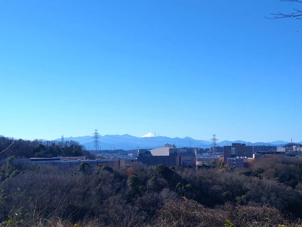
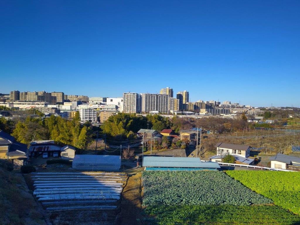
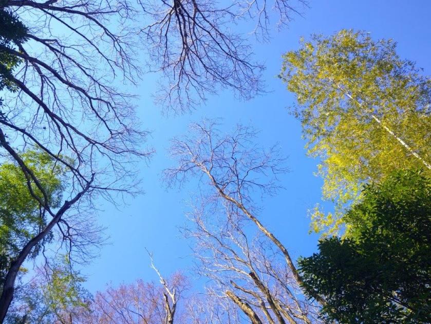
I was glad to get a view of central Tokyo so early in the hike. From left to right, I could see Sunshine 60, the Tocho and the Skytree. After admiring the view, I made my way to a nearby open shelter from where I could also see Mt Haruna and Mt Akagi, far away to the north, the highest peaks covered in snow. I followed the hilltop northeast through Shiroyama no Mori (城山の森 126m meaning “the forest of Shiroyama”), the forest hiding the city buildings from view. Past another open shelter, I reached the highest point of today’s hike, and looking to the right, I suddenly spotted Mt Fuji through the bare trees.
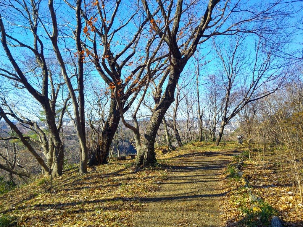
Walking through Shiroyama no Mori
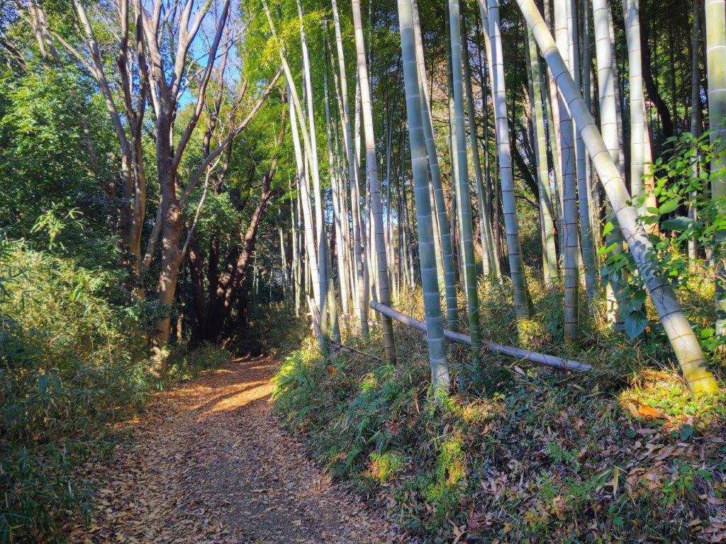
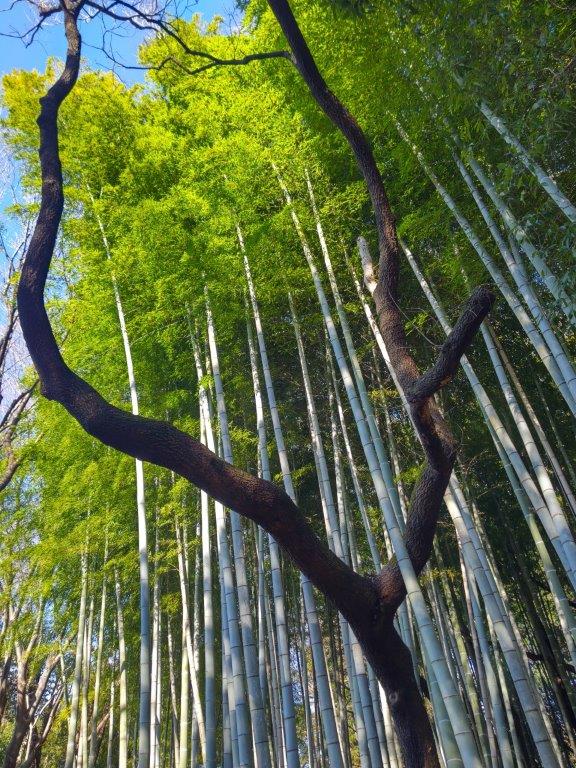
Bamboo Grove below Shiroyama no Mori
I was pleased to finally get a good view of the snowy top of Mt Fuji, its base hidden by the Tanzawa mountains; it was also truly unexpected, as this spot is unmarked on my maps. I turned right at the next junction and followed a dirt track along a bamboo grove to the base of the hill. I already felt quite satisfied with this first hour of hiking, having seen a temple, bamboo groves and views of the skyscrapers of Tokyo and Mt Fuji. After passing through some fields, I was back inside a residential neighbourhood. After going under the railway tracks, I turned left, and was now following a pedestrian path running parallel to the Misawa river.
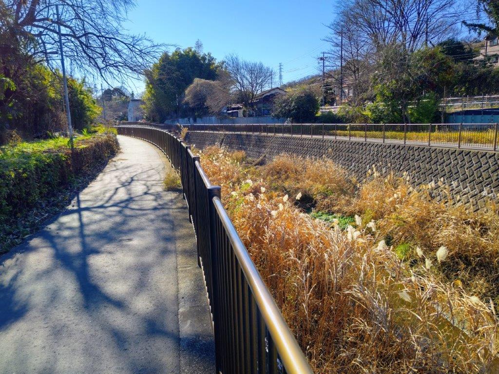
Walking along the Misawa River
View of Wakabadai from Kurokawa Farm
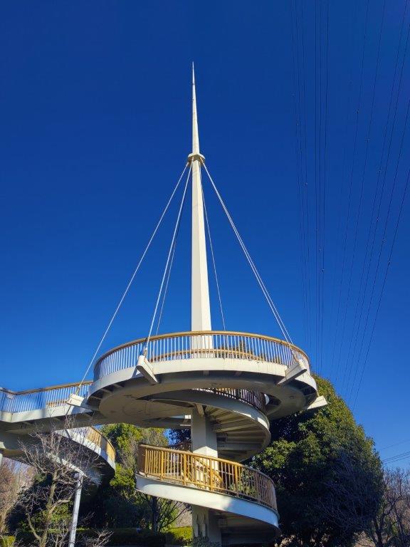
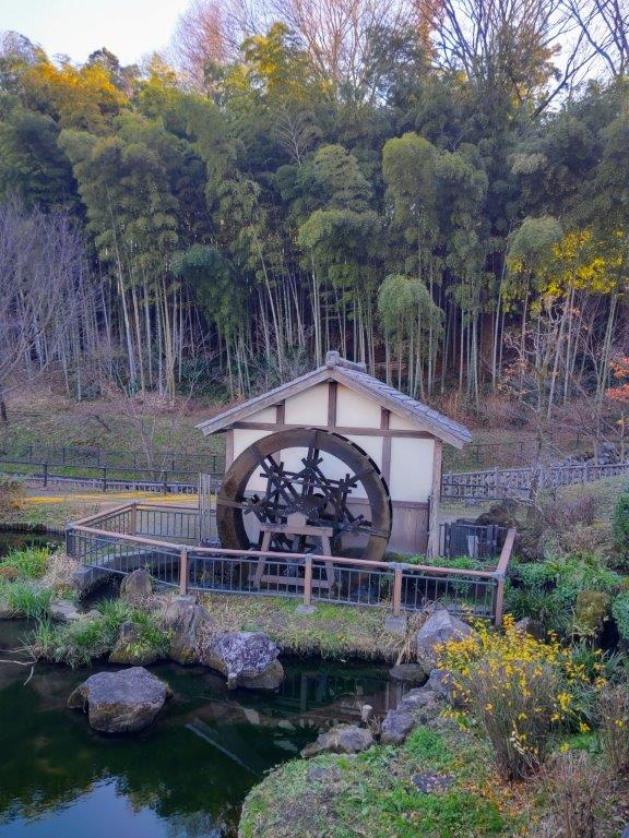
Walking against the sun, I was dazzled by the golden pampas grass, growing on both sides of the river. At 1h30, I reached the Inagi City Chūō Park (稲城中央公園), and shortly after, settled on a stone bench next to a secluded bamboo grove for a lunch break. At 2pm, I resumed my hike. After thirty minutes of walking through fields and residential areas , I arrived at Kasayato Water Park (上谷戸親水公園) in the shade of Kasayato Bridge, spanning the sky. After observing a spinning “suisha” (waterwheel), I followed narrow quiet back lanes to the Kurokawa Farm Village, on a plateau on the south side of the river.
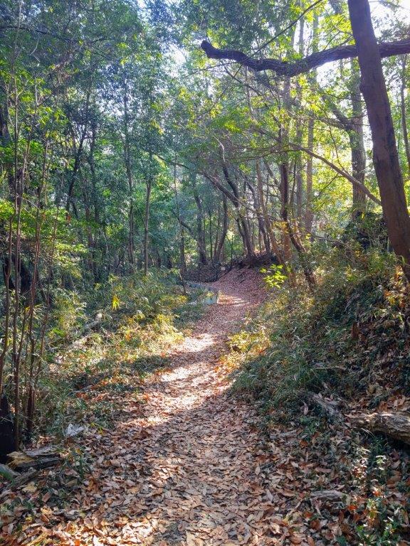
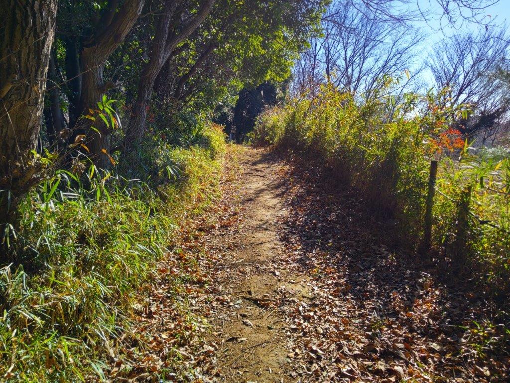
Immersed in Nature on the Shinrinyoku Route
Bench with a view of Shinkoji Town
Turning around, I had a wide view of the river valley, apartment blocks lining the north ridge. I descended the west side and reached Kurokawa station at 3pm. The next day, starting from Keio Wakabadai station, I soon reached the nearby Odakyu Kurokawa station, beyond which was the Kurokawa Youth Outdoor activity center, as well as the start of the “shinrinyoku” (forest bathing) route, part of the Asao walking trails. I followed the pleasant footpath westwards through tall pampas grass waving under blue skies. At the top of some log steps, I turned left at an junction; I was now heading southeast through the suburbs, inside a narrow finger of vegetation, alongside Shinkoji Park (真光寺公園), although its central lawn and lake were hidden by forest.
Elevated Path beyond the Shinkoji Green Space
Entering the Tsurugawadai Ridge Green Space
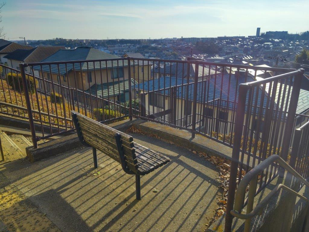
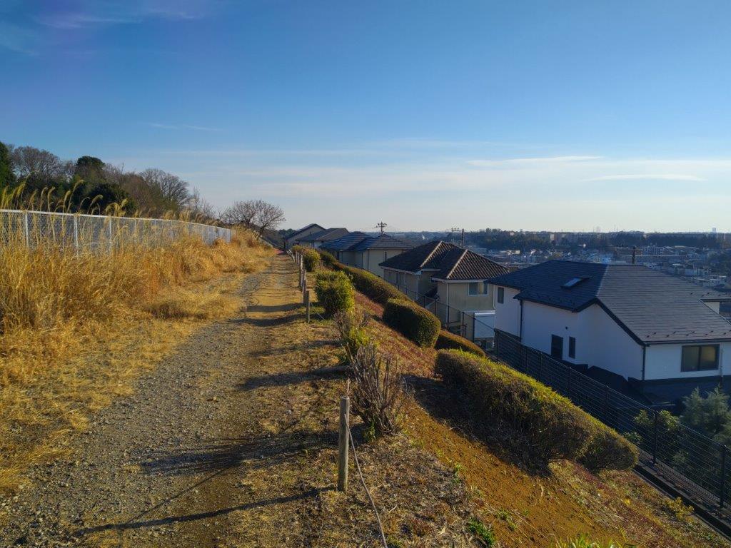
I was surprised to be enclosed by nature so close to the city center. This section is also known as the Shinkoji Green Space (真光寺緑地) and continues into the Tsurugawa-dai Ridge Green Space (鶴川尾根緑地). At 2pm, I reached a bench with a view at the edge of the forest. Looking west, I could see the Tanzawa mountains with Mt Fuji behind, although less clear then two days ago; stretching south was Shinkoji Town. I made a brief stop for lunch and then continued on my way. After a short stretch of open views, I entered the forest again. The dirt track soon ended at a paved road where I turned left, leaving the ridge and descending into the Katakira river valley, through another agricultural area. At 3pm, I passed through Odakyu Kurihira station and soon reached another ridge trail through a green space on the north side of the valley.
A Trail with a view of the city
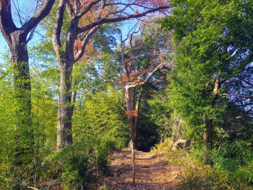
Walking through Furusawa Sakai Forest
I was delighted to be once again walking through nature. At 3h30, I passed the Gorida View Park (五力田見晴公園) with a view of the town on the southwest side. At 4pm, I entered Furusawa Sakai (古沢境), the evergreen forest alternating between shade and golden light. At a junction, I turned right and headed down stone steps, bamboo on my right. I turned left upon reaching a road and passed a red shinto gate leading to Kuromyo Shrine (九郎明神社), its grounds being cleaned for the upcoming new year shrine visit. Soon after, I came upon some fields where I turned right onto a road leading to Satsukidai station, arriving around 4h30, just on time to catch the train for the next station, Shin-Yurigaoka, where I caught the express for the short ride back to Shinjuku.
Watch a Video of the Hike
See More Pictures of the Hike

Looks like a nice hike. Thank you for sharing it!
Thanks for the comment. Yes, the first half around Myoken temple and through Shiroyama no Mori is definitely worth a visit!