
I was looking for another hike close to home as the Spring weather continued to be unsettled. Thanks to Japanwilds, I was reminded of a small peak in Western Tokyo I had recently spotted on my hiking map, along the Hamura Kusabana hills hiking trail (羽村草花丘陵ハイキングコース). Since it was on the short side for a full day outing, I decided to start near Akaboko in Ome, and then head west through the hills south of Tama river. Along the way, I’d pass a second peak with a view from a shrine on its north side.
For subscribers, read this Post on Hiking Around Tokyo for a better viewing experience and the latest updates
To get to the start of the hike, I’d ride the Chuo and Ome lines from Shinjuku to Ome station, and there board a bus for the ten-minute trip to Meijibashi, a short distance from the trail entrance. For the return, I’d catch a bus from Shimo-kusabana, a few stops from Fussa station down the Ome line. The weather was supposed to be mostly cloudy, with a chance of sun in the afternoon. I was looking forward to exploring new trails inside the capital and hoping the weather would allow me to complete my planned route.
Find Japan Hiking Maps on Japanwilds and subscribe to our newsletter

Trail past Futatsu-zuka (left) & Before Manji (right)


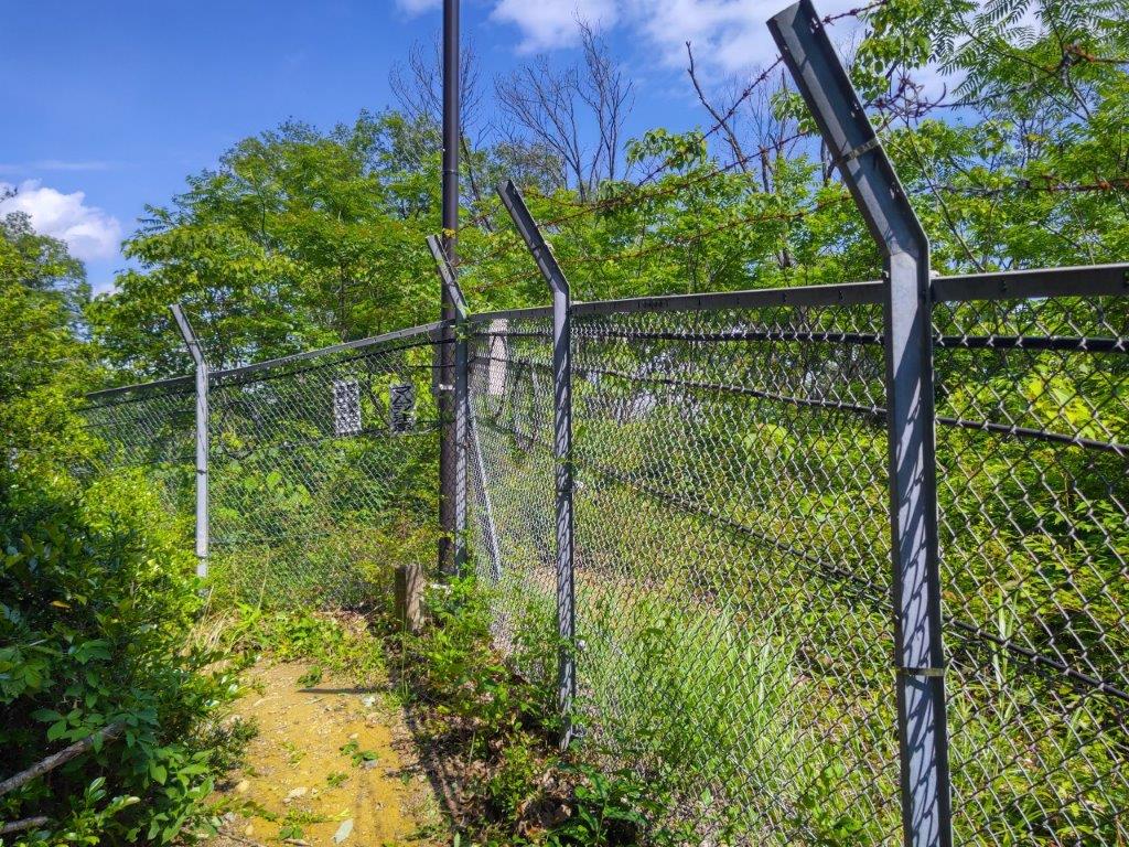
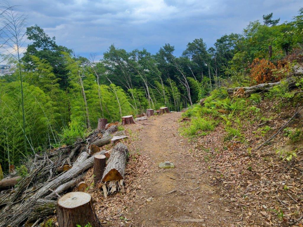
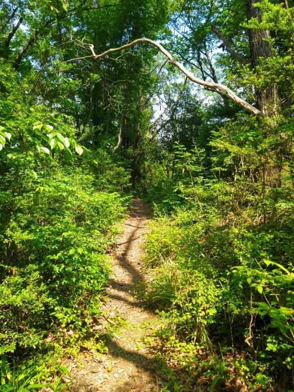
Walking next to Fences (left) & through Forest (right)
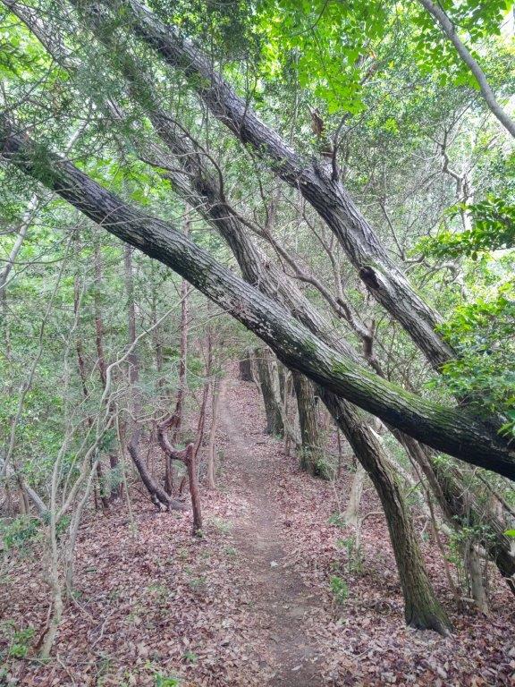
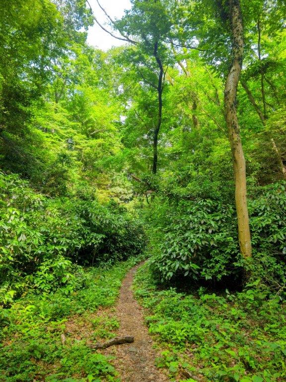
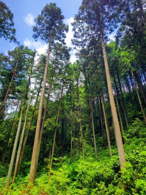
I rode the comfortable and nearly empty Green car to Ome station, arriving there at 11am. I got off the bus one stop early so I could stock up at a nearby convenience store. As I set off for the trail entrance, I noticed that more and more blue sky was appearing overhead, a trend I hoped would continue. At 1130, I reached the Mahiki-zawa forest road (馬引沢林道), and very soon, found myself surrounded by nature walking next to a rushing stream.


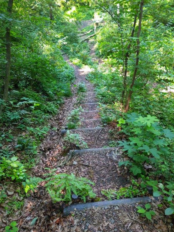
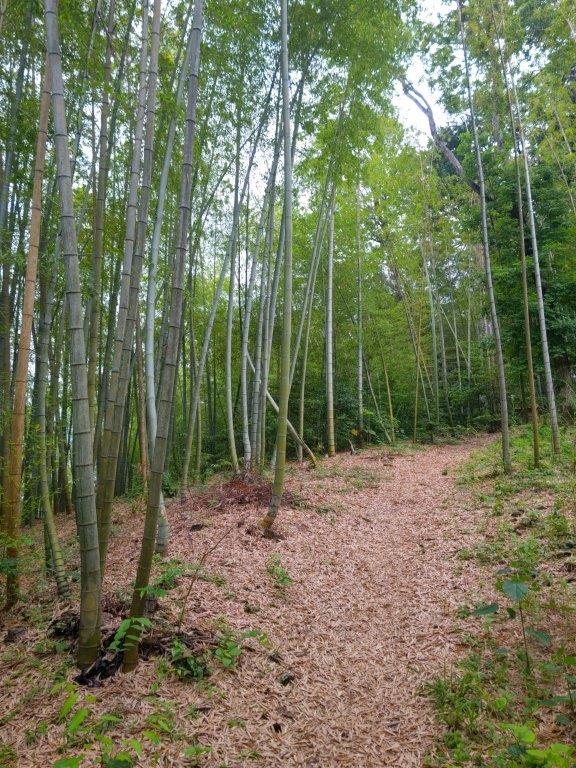
Steps past Mt Sengen (left) & Inside a Bamboo Grove (right)
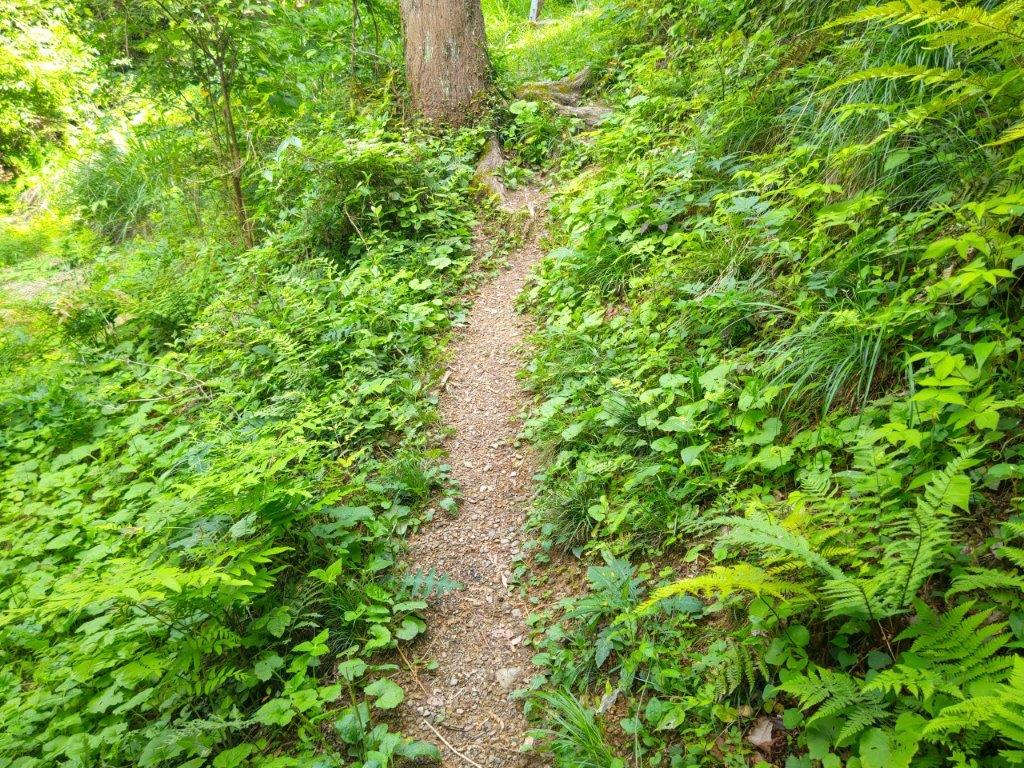
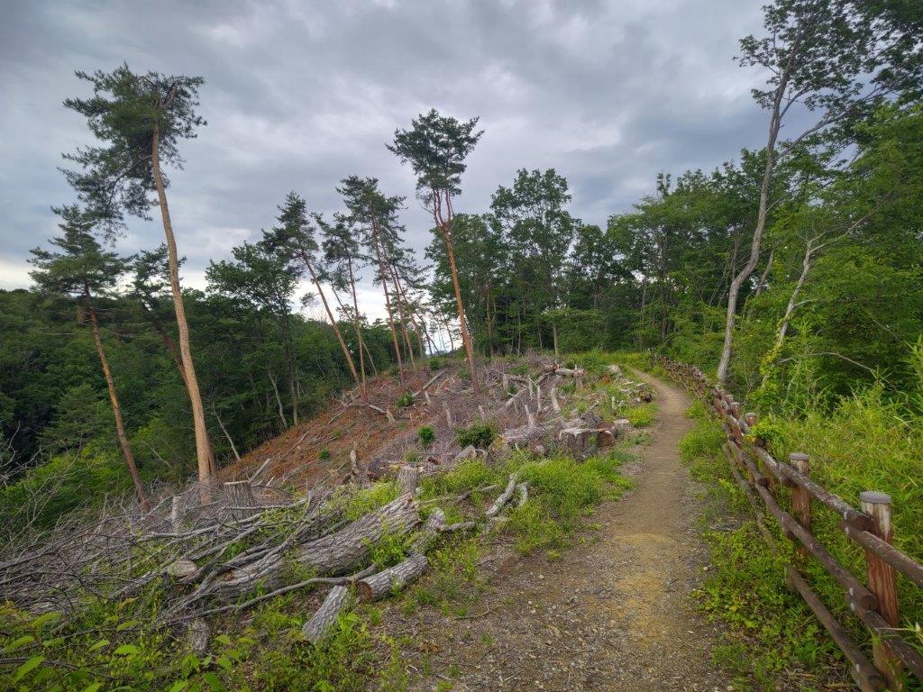
Forested (left) & Open Sections (right) on Mt Daicho
I was delighted by this unexpected river walk, mossy rocks occasionally lit up by stray sun rays. Sturdy, well-made signposts, like those of the “Fureai no Michi”, told me I was following the “Ome! Water and Nature and Plum Road” (Ome! Mizu to Midori to Ume no Michi 青梅! 水と緑と梅の道). At noon, I reached a clearing from where I could see that the patches of blue had turned into a mostly blue sky. Feeling hopeful for the day ahead, I picked up the pace, as the path started to climb gently. Shortly after, I arrived at Mahiki-zawa Pass (馬引沢峠), where I turned left, merging with the Mt Nagabuchi Trail (長淵山ハイキングコース), as well as my Akaboko hike.

Start of the Hike on the Mahiki-zawa Forest Road…

…next to a Rushing Stream
I made good time along the ridge trail, passing other hikers for the first time of the day and glancing at the instructive tree name signs along the way. At 1230, I reached another junction at the Old Futatsu-zuka Pass (旧二ッ塚峠 355m, the highest point of the hike); here I turned right, leaving behind the route of my previous hike. The path soon became narrow, the vegetation crowded in on both sides and the quality of the signposts dropped. I suddenly popped onto a paved road and it took me a few seconds to pick up the narrow trail on the other side. A handful of minutes later I reached the top of a cleft in the ridge allowing for the passage of a road connecting the Tama and Akigawa river valleys, the steep mountain sides covered in cement to prevent collapses. After a short descent, I darted across the road, made my way up the other side, and plunged back into the forest.

Blue Sky from the Forest Road
Fenced Section on the Way to Manji Pass
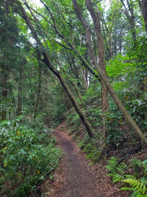
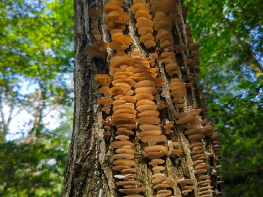
This was probably the most beautiful part of the hike and it was hard to believe that the busy city lay beyond the green forest. On top of the Spring green and scattered birdsong, I spotted translucent white “Snow Fungus” (Tremella fuciformis), orange-coloured mushrooms, and a ghostly Luna Moth flapping its wings very slowly (it seemed to be dying). I passed almost no one on this section, possibly because most people prefer this area in the colder months. Fortunately, today’s temperature, under 25°, was somewhat cool for June, and I was glad I could enjoy hiking here in this season. At 2pm, a fence appeared on the right of the trail; to it was attached a sign saying “Beware of the Mamushi”(マムシ注意), the Japanese Pit Viper, one of the most venomous Japanese snakes.
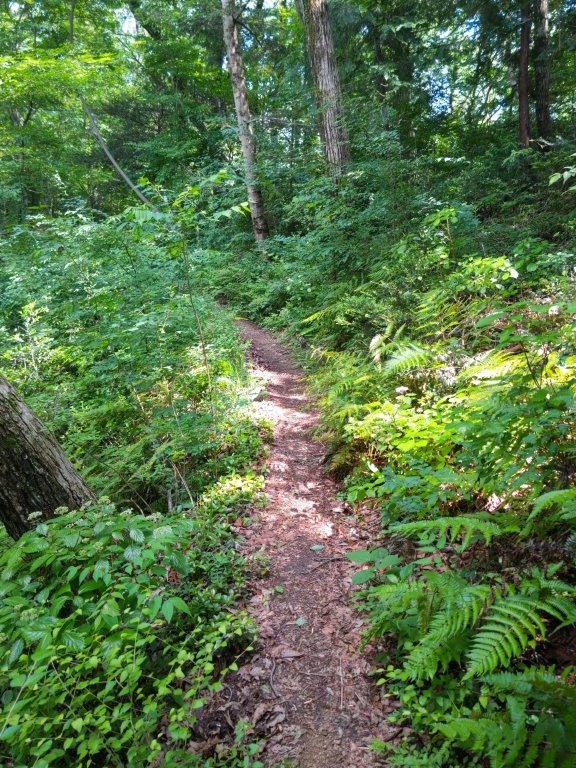
Footpath beyond Manji Pass
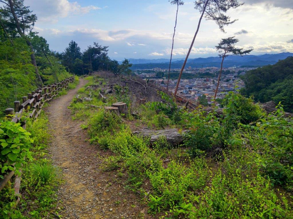
First View of the Day from Sengen Shrine
I started to worry about a snake encounter, the dense green vegetation on the left the perfect hiding spot. I walked as fast as I could, exposed to the strong June sun now high in the sky. At one point I spotted a green slender shape: webbed feet revealed it to be a lizard basking in the afternoon sun. I felt relieved when the trail finally took me back into the forest, leaving the fence behind. After a short descent, I passed Manji Pass (満地峠), sturdy well-made signposts suddenly making a comeback. At the top of some steps, a waist-high wall appeared on the right side, marking the boundary of a religious organisation. I headed down some steps leaving the wall behind and entered another section of dense and lush vegetation. Shortly after, I found myself walking with a golf green on the right side. After ascending some steps, I emerged onto the flat summit of Mt Sengen (浅間岳 せんげんだけ sengen-dake), completely in trees; since it was nearly 3pm, I sat on one of the benches for a late lunch.

Viewpoint between Mt Sengen & Mt Daicho
In the Distance, the Sayama Hills
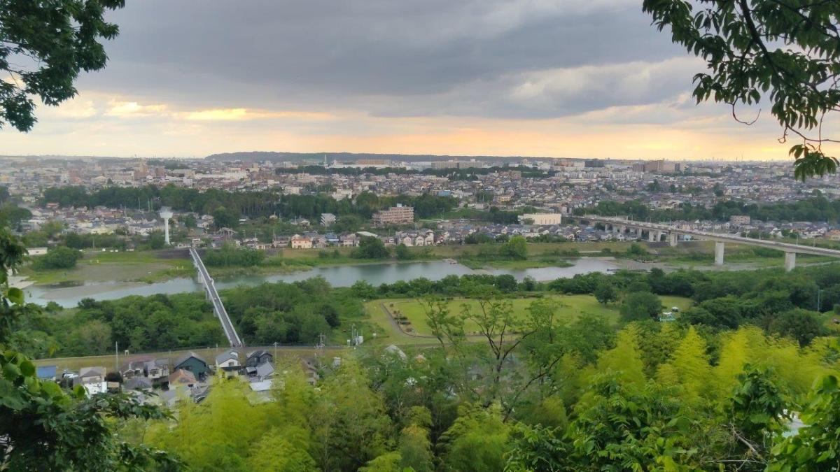
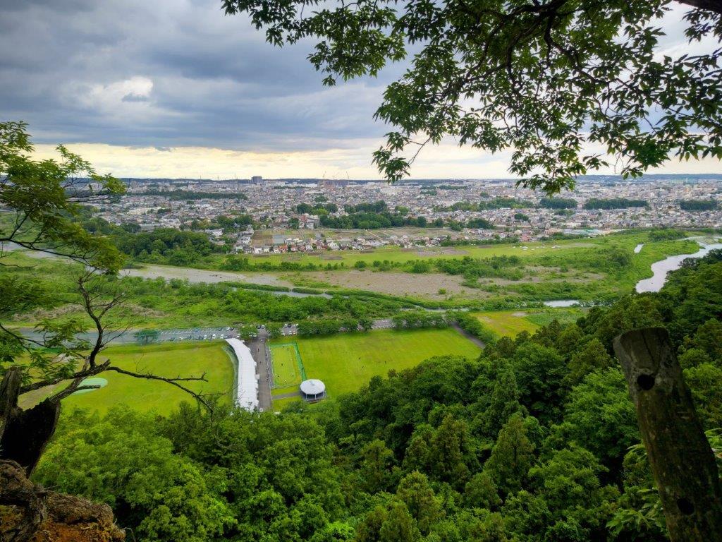
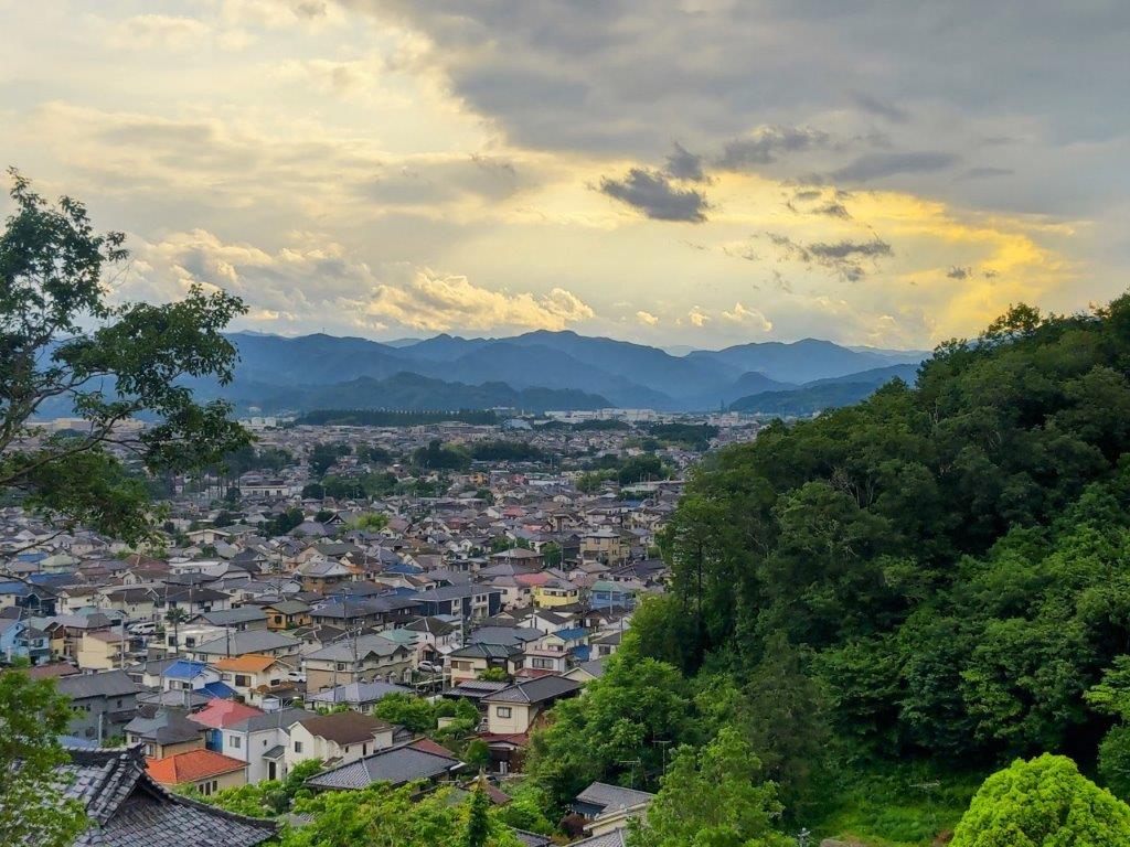
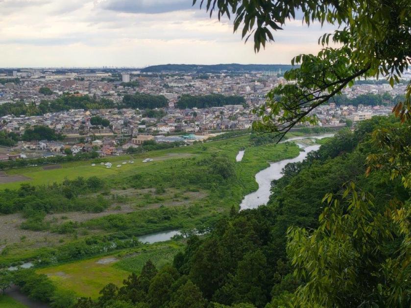
Looking up, I noticed thick dark clouds fully covering the sky on the north side. I started to worry about rain and set off quickly. First, I made a short detour to the nearby Hamura Shrine (羽村神社) from where I had a view on the north side of Tama river with the Kaji Hills in the background; looking east, I could see the low outline of the Sayama Hills; looking west, I could see the somewhat higher hills of Oku-musashi; on the north side, I spotted the much higher Okutama mountains though a gap in the vegetation; looking down, I realised I was standing at the edge of a cliff, a sturdy fence preventing any unfortunate accidents. I set off again, following the up and down trail westwards, now signposted at the Hamura Kusabana Hills Hiking Trail, and a little before 4pm, reached another viewpoint. Just then, it started to rain lightly.
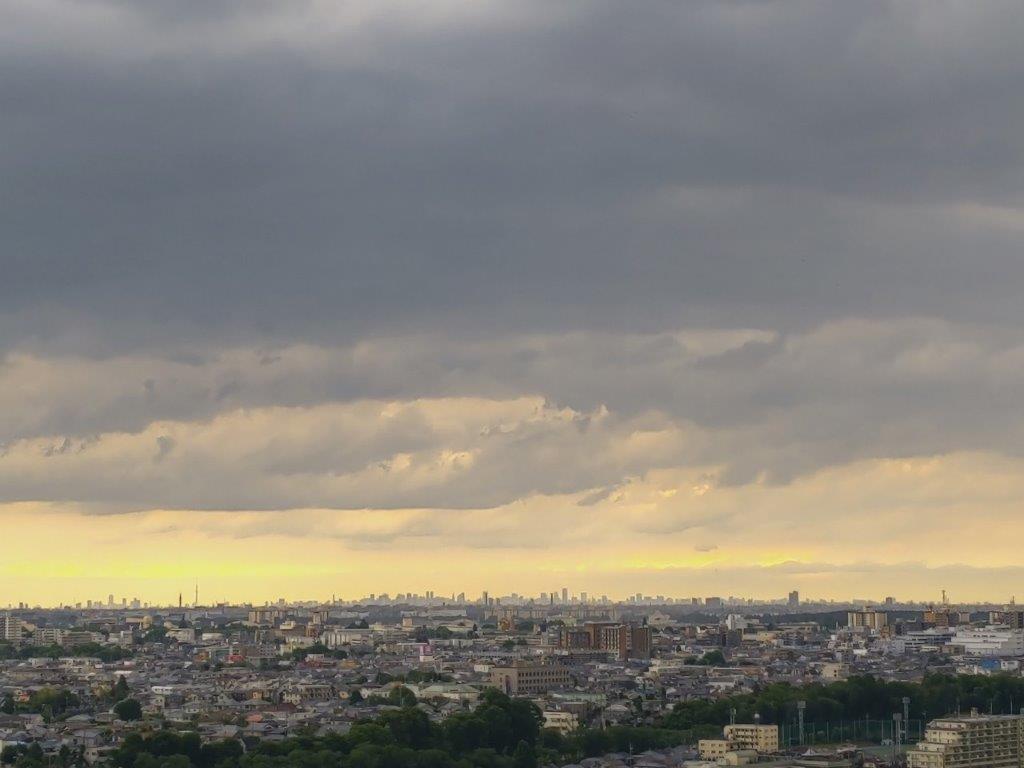
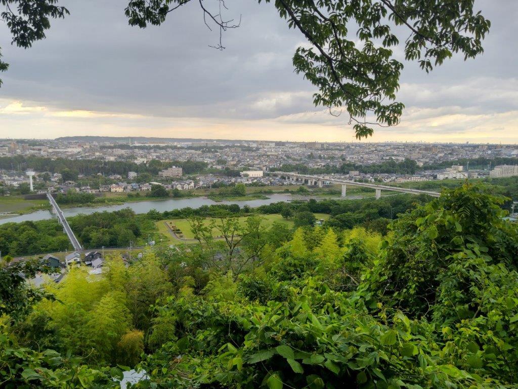
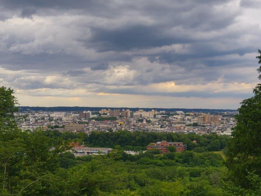
Central Tokyo under Dark Clouds

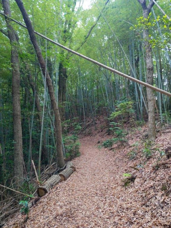
Bamboo Grove on Mt Daicho
Fortunately the viewpoint was sheltered by trees so I sat on one of the two log benches to wait out this patch of bad weather. The rain strengthened and although I was mostly dry, I started to consider whether I should escape to the nearby Hamura station. Directly ahead lay the Sayama Hills, from this distance a flat green line extending across the north horizon; to the east, I could see the skyscrapers of Central Tokyo; directly below was the Tama River spanned by two bridges. After 4pm, the rain let up and I dashed off at once. After crossing two roads and a short forested section, I arrived at the base of today’s main mountain.
Trail before Mt Daicho
Trail after Mt Daicho
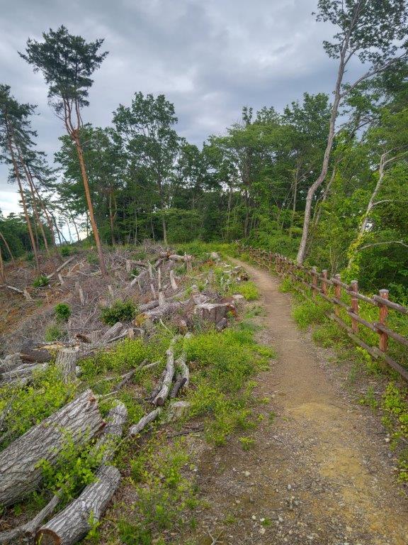
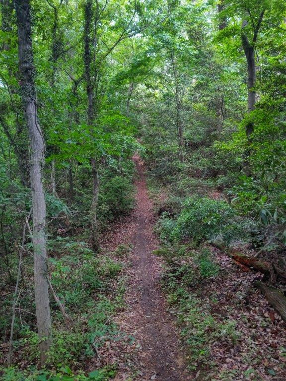
I soon found myself walking through a beautiful bamboo grove. Unfortunately, the short rain from before had brought out the first mosquitoes of the season; I made a mental note to bring anti-bug repellent on my next hike. At 4h30, the trail levelled as it passed through a section cleared of trees; above the treetops, I could see the rain clouds moving eastwards. At the top of some steps, I reached an open shelter and the top of Mt Daicho (大澄山 だいちょうざん daichou-zan). The summit was free of trees but lacked enough prominence to allow me to see past most of the surrounding forest; a gap on the north side showed a small section of the Sayama Hills beyond the city buildings.
Looking back at the Top of Mt Daicho
View South of the Tanzawa Mountains
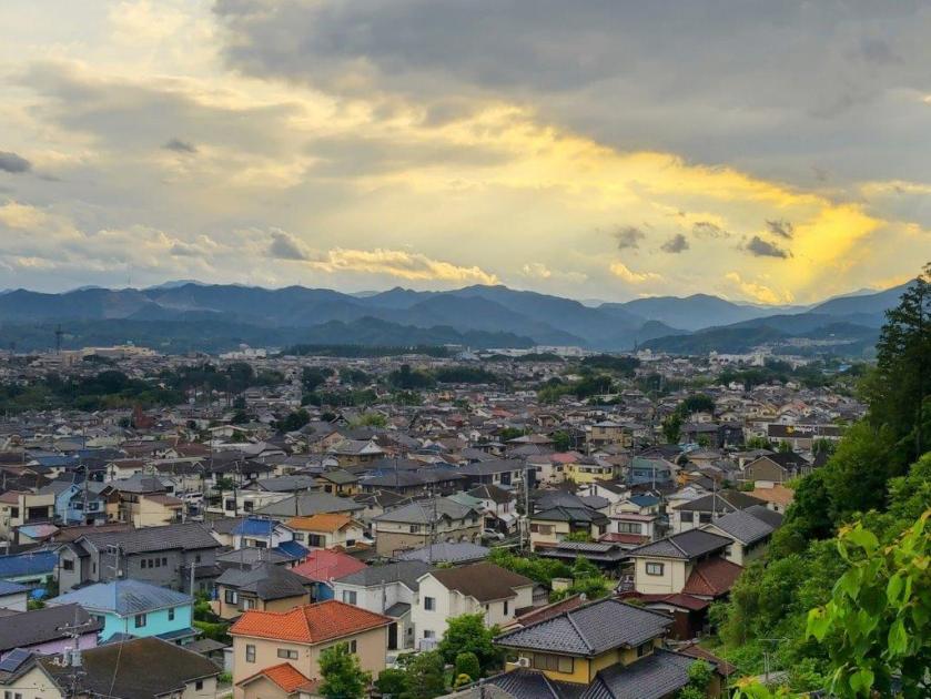
I was delighted by this open space cut off from the surrounding city. I took a short break at the summit picnic table to enjoy the solitude and then followed a trail southwards between tall pines. I soon had a view of the Tanzawa mountains, forming a protective wall south of the city. Halfway down I came upon the small Kusabana Shrine on a terraced area; I had a wide view from Mt Mito in the Okutama mountains to Mt Oyama in the Tanzawa mountains, the background lit up yellow by the late afternoon sun. It was past 5pm, so I hurried down the steep shrine steps to the residential area at the base of the mountain. A short walk brought me to the bus stop and by 5h30 I was comfortably seated in the green car for the 45-minute ride back to Shinjuku.
Watch a Video of the Hike
Watch the Video of the Hike on YouTube


See a Slideshow of More Pictures of the Trail


See a Slideshow of More Pictures of the Hike Views
