
I was looking for a low-altitude hike near Tokyo to stay clear of the snow that usually covers the mountains surrounding the Kanto area in this season. I also wanted something relatively easy and straightforward to help me get back in shape after being out sick for a couple of weeks. I had explored the parks surrounding the Sayama and Tama lakes by bicycle many years ago. I thought it would be a good chance to revisit them on foot and have a closer look at the sights along the way.
For subscribers, read this Post on Hiking Around Tokyo for a better viewing experience and the latest updates
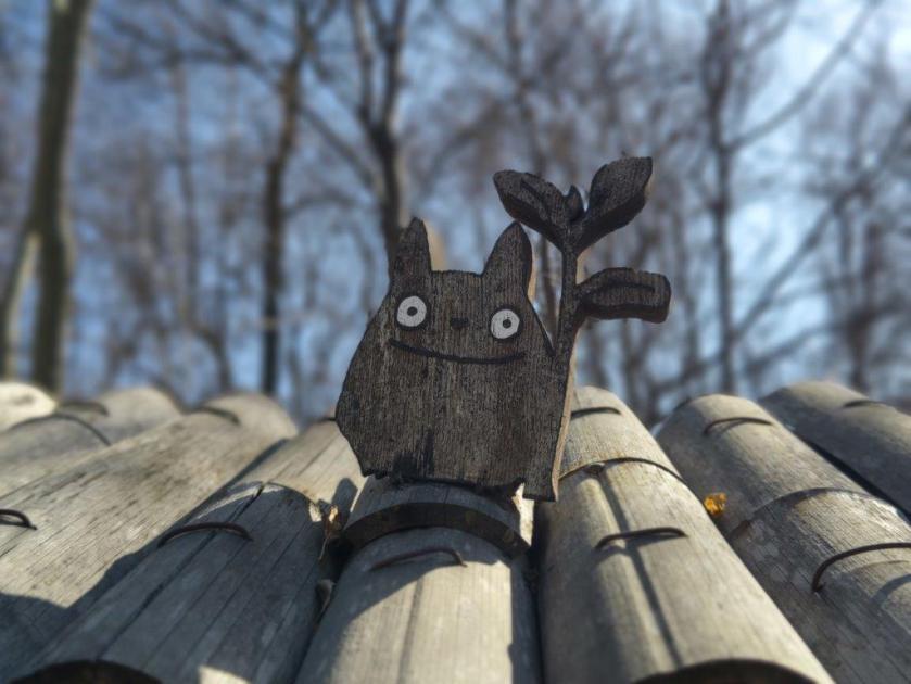
To get to the start of the hike, I’d ride the Seibu Laview Limited Express to Tokorozawa, and from there, walk half an hour to the entrance of Hachikoku-yama Park (八国山緑地). After traversing the park, I’d make a short detour to Hatomine Park (鳩峯公園) to visit one of the many Totoro forests in the area, as well as Hachiman Shrine (八幡神社) at its eastern end. I’d then head over to Arahata Citizen’s forest (荒幡富士市民の森) where I could “climb” Arahata-Fuji (荒幡富士), an artificial Mt Fuji with 10 real stations. After checking out the view from the summit, I could drop by the nearby Sayama Hills Flora & Fauna Interaction Center (狭山丘陵いきものふれあいの里センター) to learn more about the plants and animals that grow and live in the surrounding forest.
Hiking in the Sayama Natural Park 都立狭山自然公園
If time and energy allowed, I’d then cross over to Tama Lake (多磨湖), next to Seibuen Theme park. After admiring the view of the Okutama mountains, and hopefully Mt Fuji, from Murayama-shita Dam (村山下ダム), I’d walk clockwise around the lake to Higashi-Yamato Green Space (東大和市立狭山緑地) which promised a view of the Tanzawa mountains on its south side. I’d then double-back to Higashi-Yamato Park (東大和公園), making sure to visit the Higashiyamato City Local History Museum (東大和市立郷土博物館) on the way. Next, I’d head to Sayama Park (狭山公園), just below Tama Lake and its dam.
Find Maps & Blogs on Japanwilds & subscribe to our newsletter
Finally, if I made good time, I could explore the nearby and relatively short Seseragi road (せせらぎの道), and the equally short Megurita Greenway (廻田緑道), after which I’d follow the Yanase river to Kitayama Park (北山公園), a park famous for its flowers, although probably none in this season. This final park in my tour sits opposite Hachikoku-yama park, the forested area divided by the Seibuen line and its yellow train cars. From the bridge at the eastern end of the park, I could walk 15 minutes to Higashi-Murayama station, one stop from Tokorozawa on the Seibu-Shinjuku line. The weather was supposed to be clear in the morning, turning cloudy in the afternoon. I was looking forward to revisiting one of the closest nature spots to the center of Tokyo.
In the end, I decided to cut the hike short after visiting the Sayama Hills Flora & Fauna Interaction center, and headed home using the nearby Shimo-yamaguchi station on the Seibu Sayama line, a couple of stops from Tokorozawa. The next week I returned to the same station to pick up where I had left off, after making a second visit to Arahata-Fuji. Once again, I decided to skip the last part of the hike, and so after Sayama Park, I made my way back via Seibuen station on the Seibuen line.

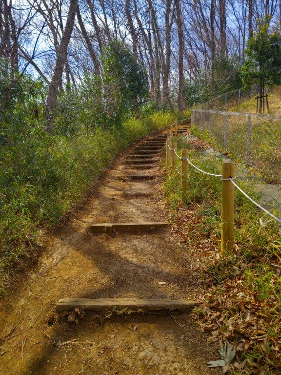
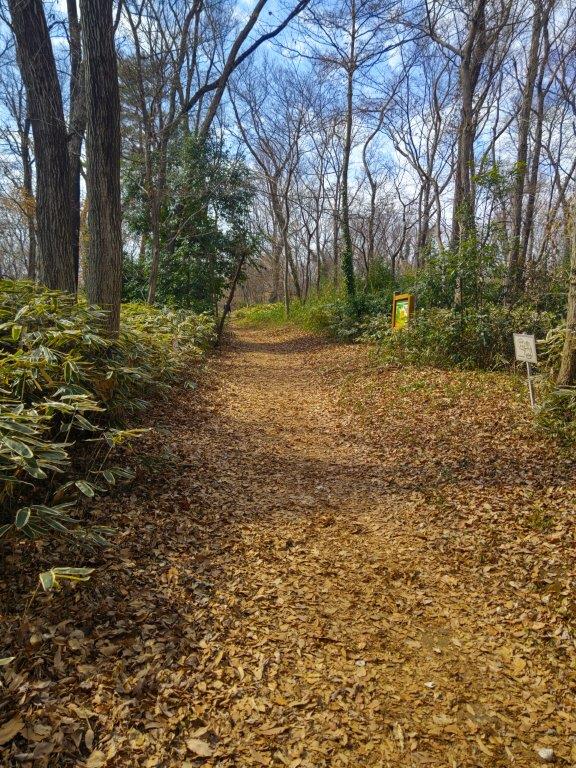
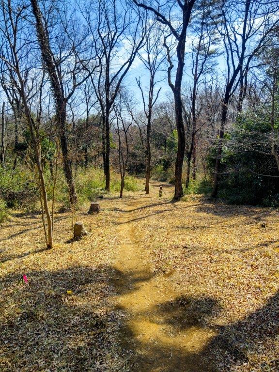


Above is a slideshow showing the wide variety of trails within the many parks surrounding Tama Lake

Steps heading down in Hachikokuyama Ryokuchi Park

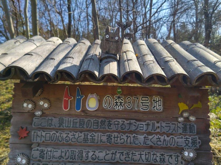
Totoro Forest #2 in Hatomine Park
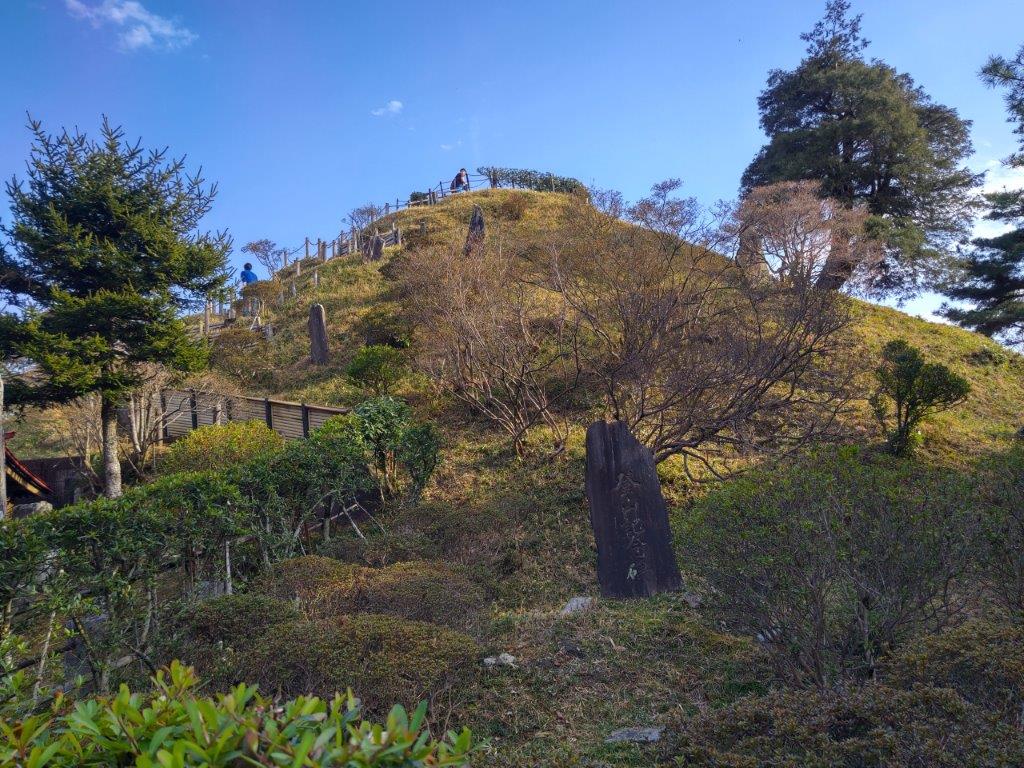
Arahata-Fuji and its 10 stations

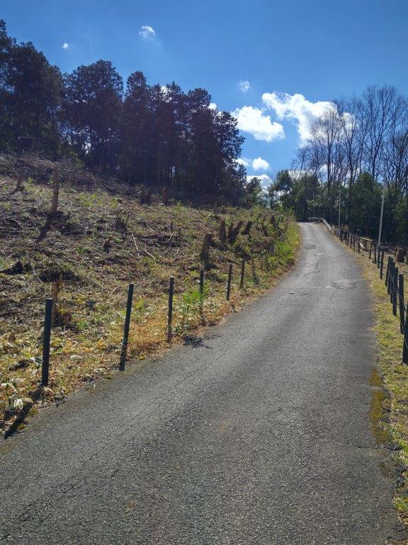
Leaving Arahata Citizen’s Forest

Re-entering Arahata Citizen’s Forest the Following Week

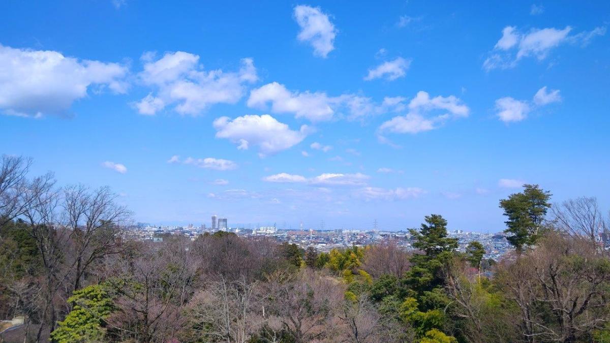
View North from the Top of Arahata-Fuji
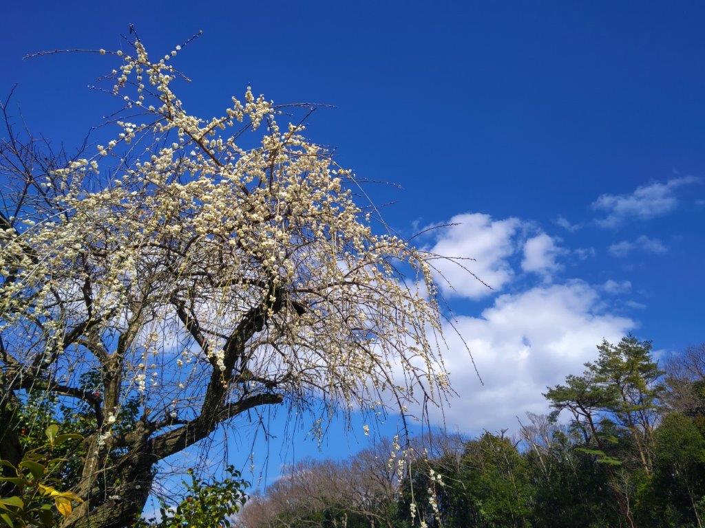
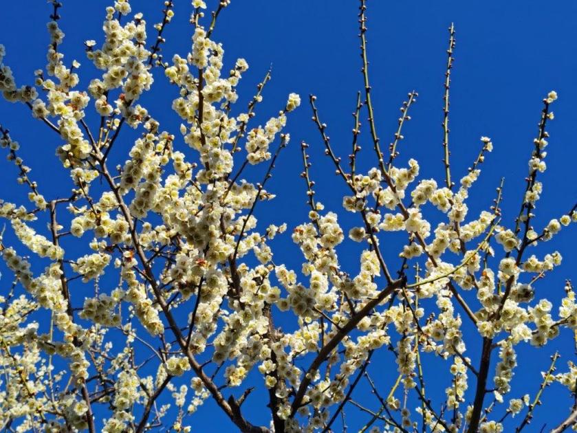
Weeping Plum Blossom Tree on the Way to Tama Lake
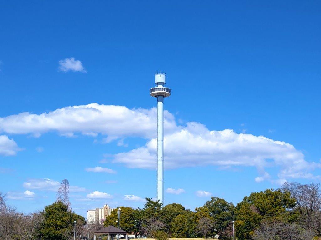
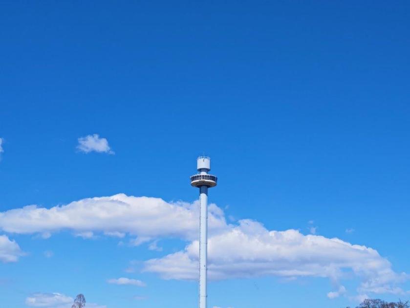
Fujimi “Periscope Tower” in Seibuen Park

Murayama-shita Dam on Tama Lake
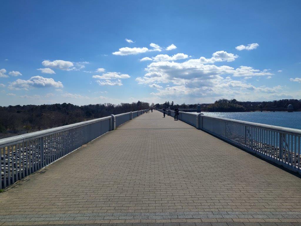
Few People Walking the Dam…

…on a Cold Winter Day

View East of Higashi-Murayama City & Hachikokuyama Park

View West of the Okutama Mountains

Mt Fuji was in the Clouds but Seibu Dome was visible on the right

Wooden Walkway in Higashiyamato Sayama green space
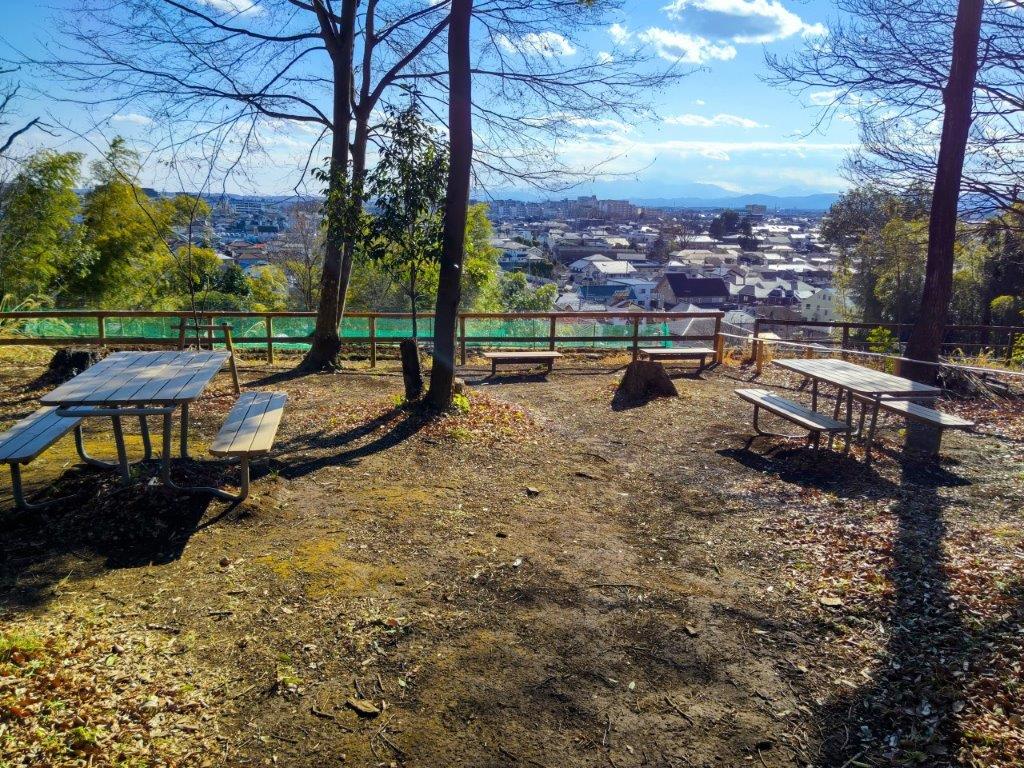
Observation Plaza in Higashiyamato Sayama green space

Heading to one more viewpoint on the Southwestern Side of the Park

Tanzawa Mountains (left) and Okutama Mountains (right)
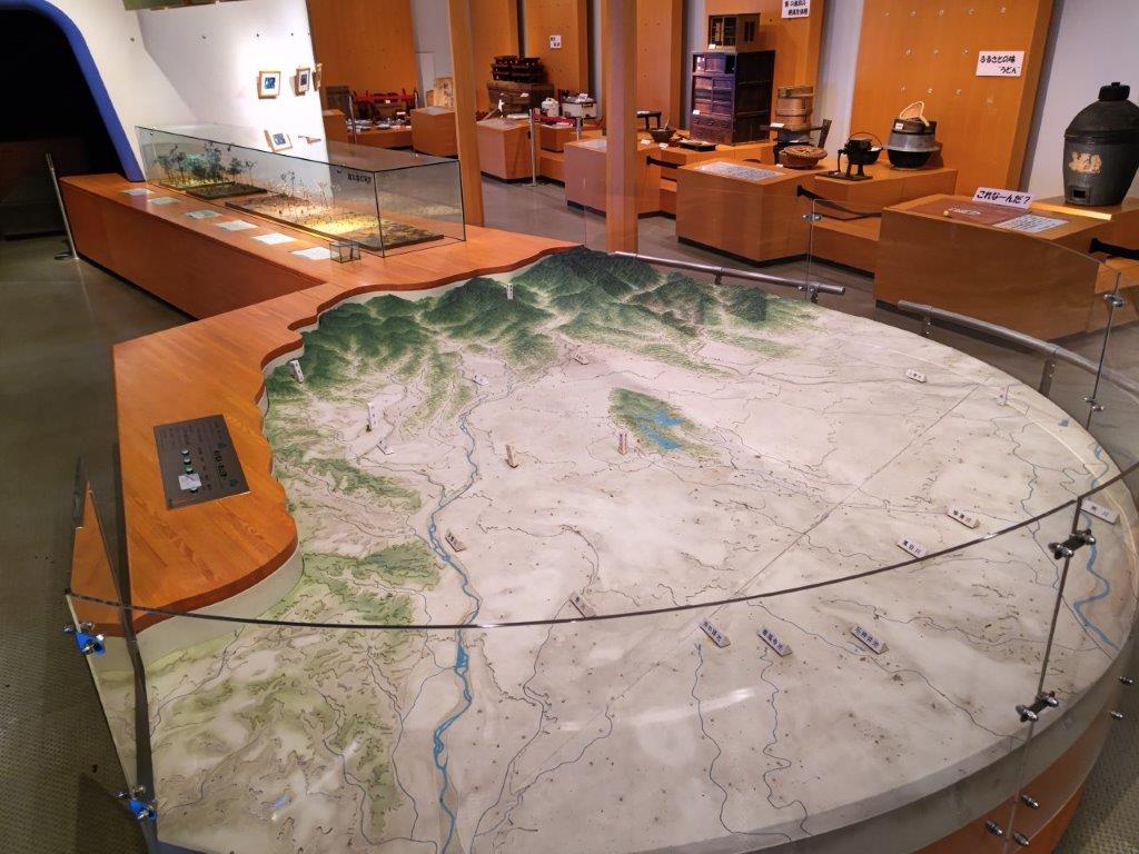
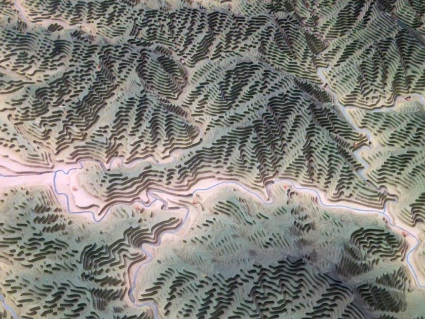
Diorama of the Mountains around Tokyo in Higashiyamato City Museum

Unsho-ji Temple on the way to Higashi-Yamato Park
Watch a Video of the Arahata-Fuji Hike
Watch the Video of the Hike on YouTube


See a Slideshow of More Pictures of the Hike
This Blog Post Continues a Little Longer…
I wanted to return to Tama Lake to complete my originally planned hike. I finally had an opportunity for a short morning hike on the second Wednesday of April. The cherry blossom season had started later than usual due to unseasonably cold weather at the beginning of the month, and I was hoping to still see some sakura in full bloom, as well as the new green, inside Sayama Park.
I would ride the Laview Limited Express to Tokorozawa, then change to the Seibu Shinjuku line for the one stop ride to Higashi-Murayama, and change again to the Seibuen line for another one stop ride to Seibuen station, the whole trip possible in one hour thanks to short connection times. The weather was supposed to be warm and sunny and so I hoped to get my third view of Fuji of the year.

Seibuen Fujimi “Periscope Tower” Surrounded by Sakura
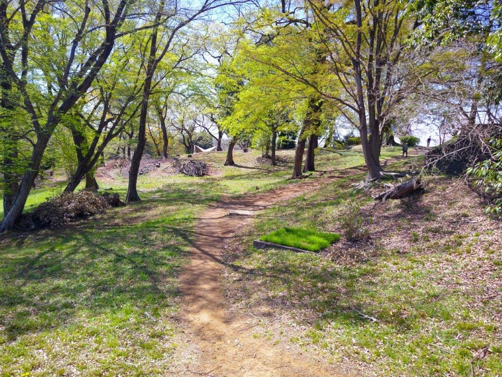
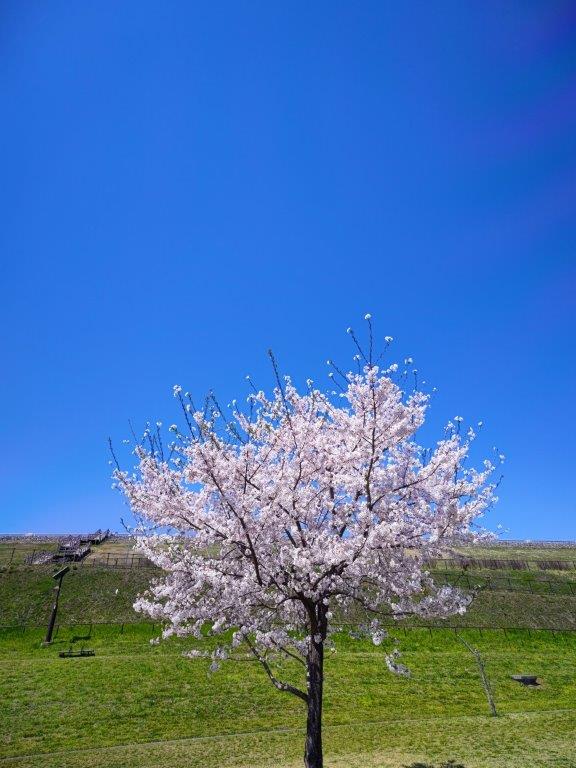
New Green at the North Side of Sayama Park

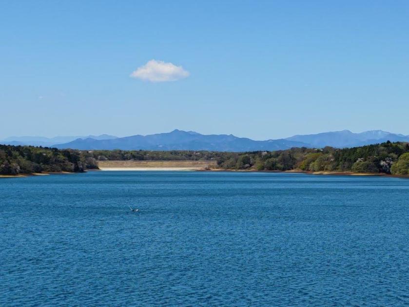
View of Mt Fuji from Tama Lake
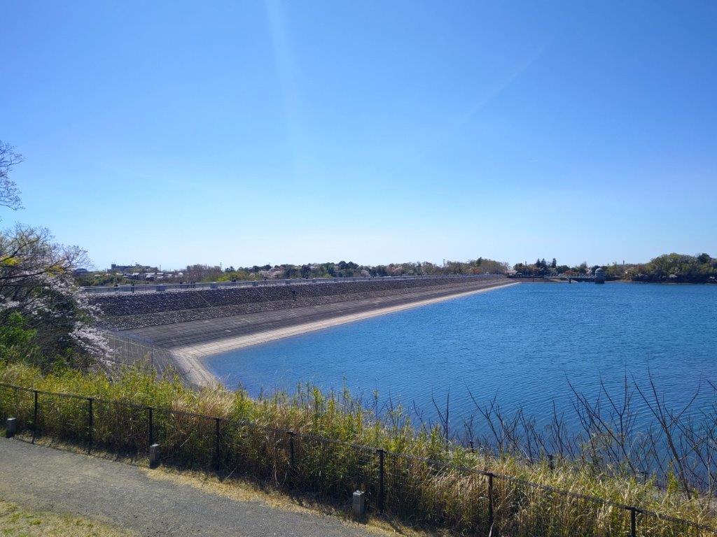
Murayama-Shita Dam under the Morning Sun

Clear View of the Okutama Mountains (Mt Odake on the left side)

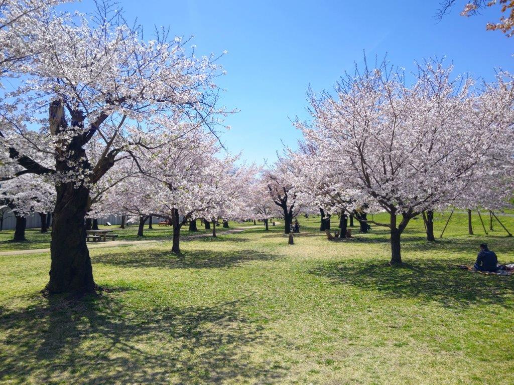
Cherry Blossom Trees in Sayama Park

A Good Spot for Hanami

Wooden Steps Connecting the Dam and the Park
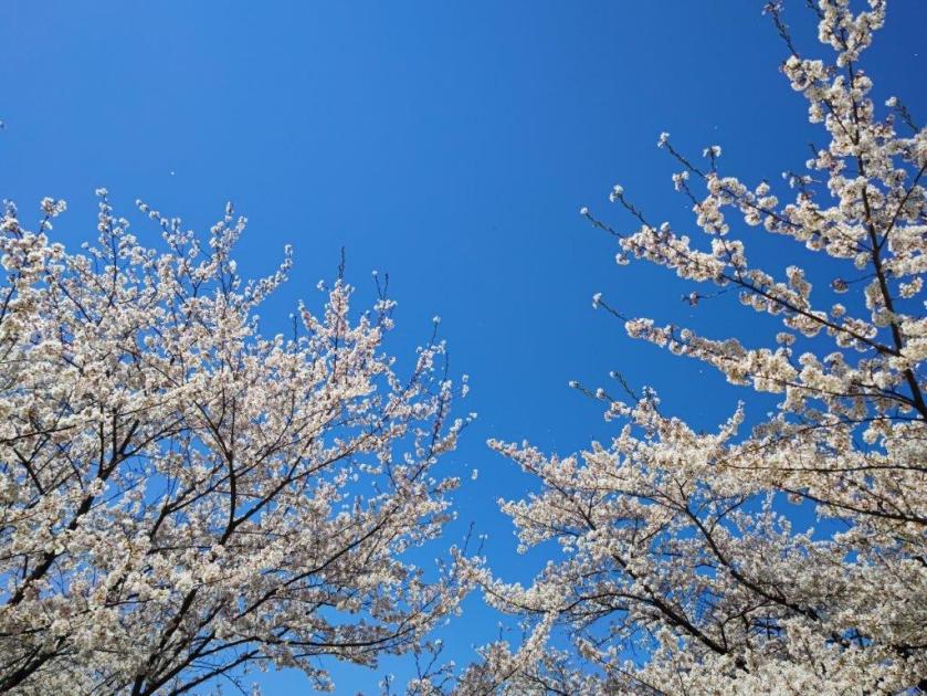
Walking among the Sakura in Sayama Park

Following Seseragi Road in Higashi-Murayama

Observation Deck on Megurita Greenroad

Walking on Sakura Promenade at the End of Megurita Greenroad

Another Good Place for Hanami

Two People Enjoying a Break under a Huge Sakura Tree

Group of Huge Cherry Blossom Trees in Kitayama Park

Kitayama Park in the Early Spring

Pair of Weeping Cherry Blossom Trees in front of Higashi-Murayama Station
Watch a Video of the Final Part of the Arahata-Fuji Hike


See a Slideshow of some more Pictures of the Hike
