

I wanted to do one more hike in Chiba. I also wanted to get there and back via public transport. Finally, I wanted to explore more of the Chiba Kanto Fureai no Michi. I decided to combine two of its shorter sections, heading south to north from Ohara Beach to Taito beach, the latter also the starting point of the 90 kilometer long Kujukuri Beach. Although I wouldn’t be standing on any peaks, I’d be walking nearly 20 kilometers with a view of the Pacific ocean for most of the way.
For subscribers, read this Post on Hiking Around Tokyo for a better viewing experience and the latest updates
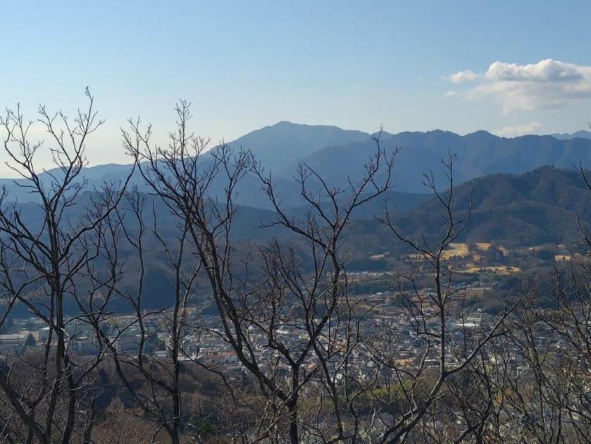
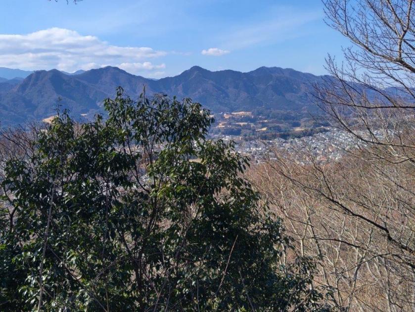
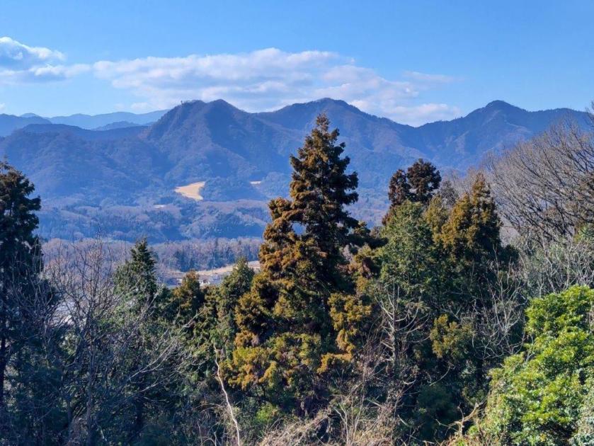
Hiking along the Kanto Fureai no Michi 関東ふれあいの道
To get to the start of the hike, I’d ride the Wakashio Limited Express from Tokyo station to Ohara station. For the return, I could ride the Sotobo line just one stop from Torami to Kazusa-Ichinomiya, and there change to the Wakashio Limited Express for Shinjuku. The weather was supposed to be cold and sunny all day, a typical Japanese winter day. I was looking forward to a long day of mostly level walking along the Pacific Ocean.
Find Japan Hiking Maps on Japanwilds

Following Niida River to Ohara Beach
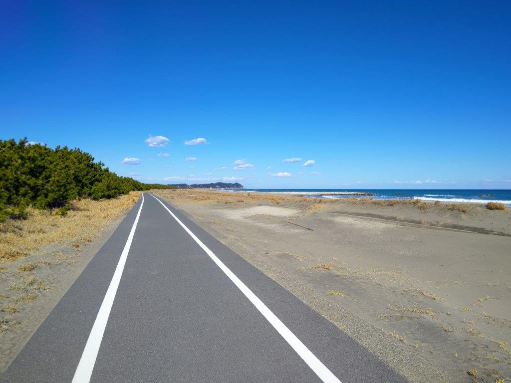
Cycling road along Ohara Coast
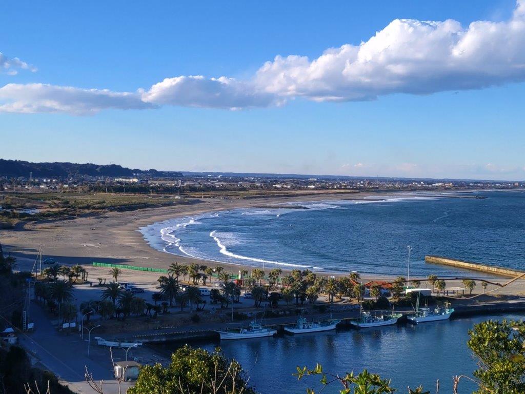
After a pleasant train ride under blue skies, I arrived at Ohara station a little before noon. After getting ready, I followed the signs for the Kanto Fureai no Michi to Niida river, where I turned right along a pedestrian path. At 1230, I spotted a palm tree, a sign that I was getting close to a beach area. Soon after, I could see the ocean, waves rolling in at regular intervals. I turned left, now walking in the sand along Ohara beach (大原海岸).

Looking back at Hachiman Cape
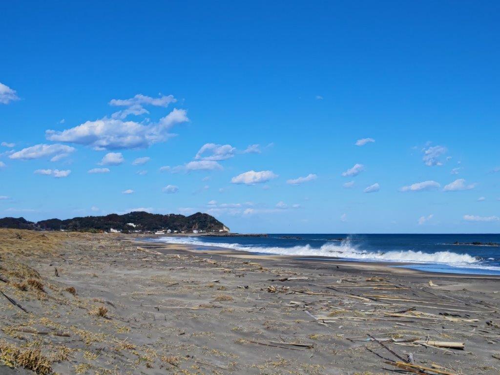
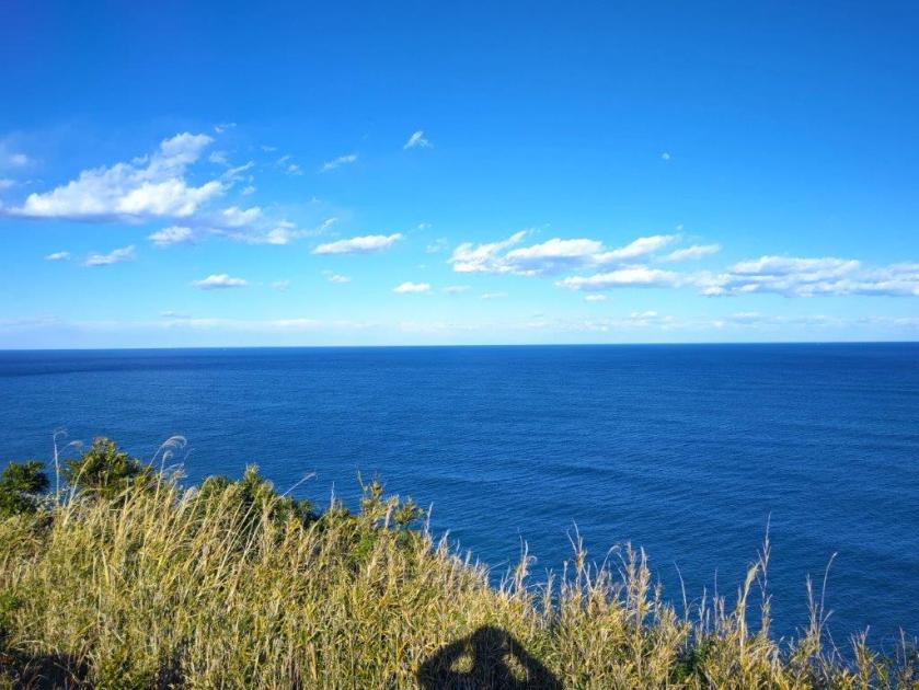
Looking forward to Taito Cape
I was surprised to see a couple of surfers on this cold winter day. Eventually, I made my way to the cycling path running parallel to the beach, easier to walk than the sandy beach. Directly ahead, I could see Taito cape, the halfway point of today’s walk. Just before 1h30, I reached the end of the beach; the path turned left and right, heading straight alongside a reedy inlet.
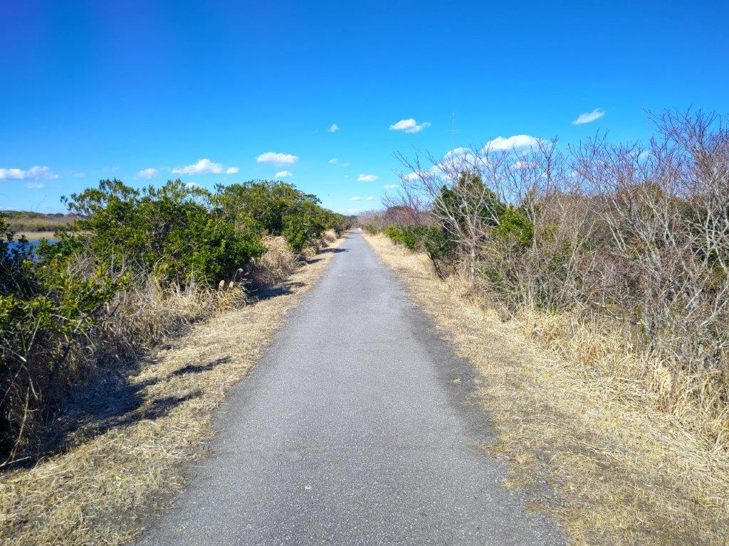
Heading straight….
…alongside a Reedy Inlet
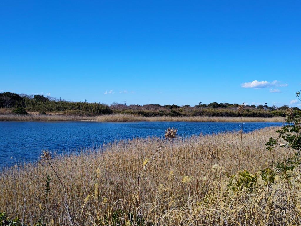
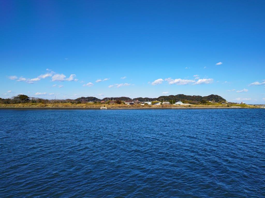
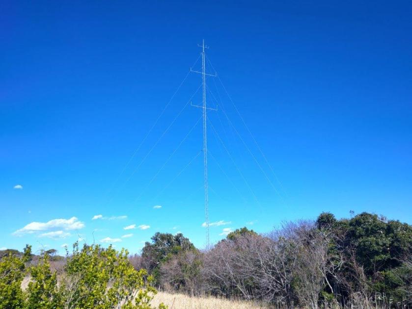
The quiet waters of the inlet created a nice contrast with the crashing waves of the ocean, waterfowl lazily floating on the calm surface. After passing a couple of slender antennas, I reached Izumiura Beach (和泉浦海岸) where I turned left along the Isumi river. Looking left across the fields, I could see a series of low hills, a hint of the hilly interior of the boso peninsula. I turned right at Koto Bridge and then followed small roads through the fields, ending at Taito Seaside (Taito-Kaihin 台東海浜) at the base of Taito cape.

Approaching Taito Cape

Walking next to Isumi River
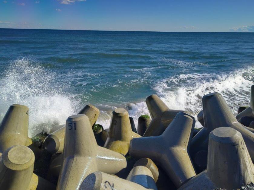
I observed the waves crash onto the waves breakers for a short while, and then headed inland, following the familiar Fureai no Mich signposts. A little after 2h30, I arrived at Taisho Dam, where I turned right, heading uphill for the first time today. At 3pm, I arrived at Taito Cape Lighthouse (太東崎灯台), the highest point of the day.
Taito Cape from Isumi River

Walking through the Fields
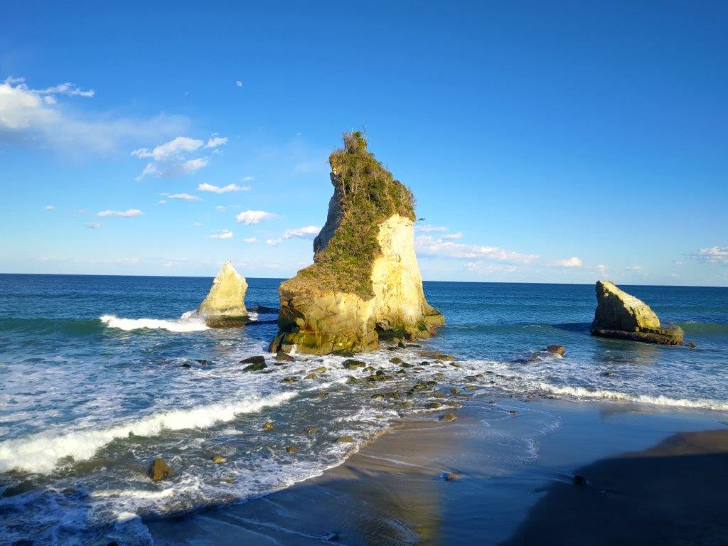
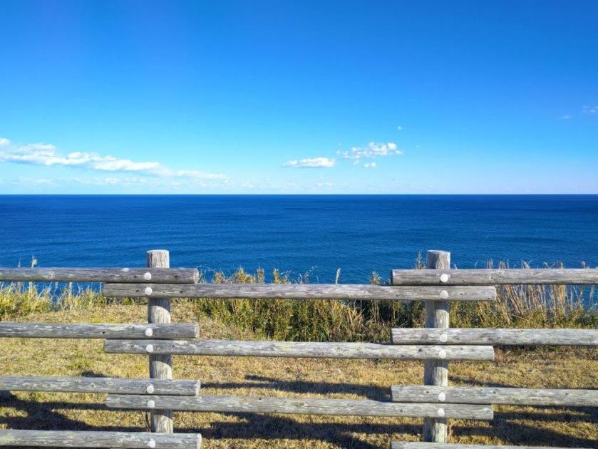
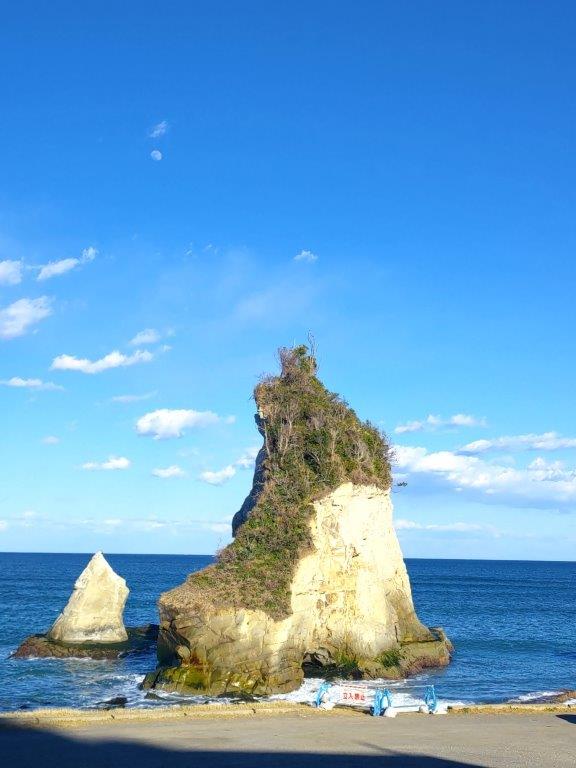
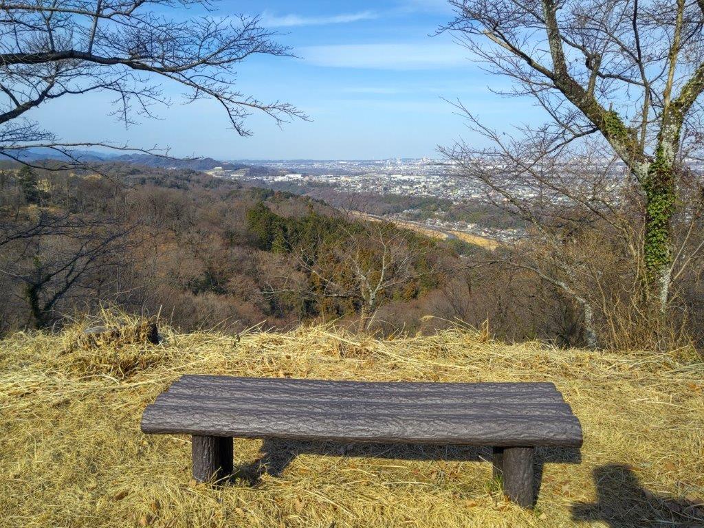
I was delighted by the vast expanse of blue ocean under a cloudless sky on the east side. Looking south, I had a bird’s-eye view of Izumiura Bay and Isumi river. I sat on one of the many benches for a late lunch with a view. I realised that my pace had been too leisurely up to now, so I soon moved on, retracing my steps down to sea level. Heading northwards at a quick pace, I came upon Suzume-jima (雀島 meaning swallow island) at 3h30, much faster than I had expected.

Taito Cape from Taito Seaside

Taisho Dam near Taito Cape
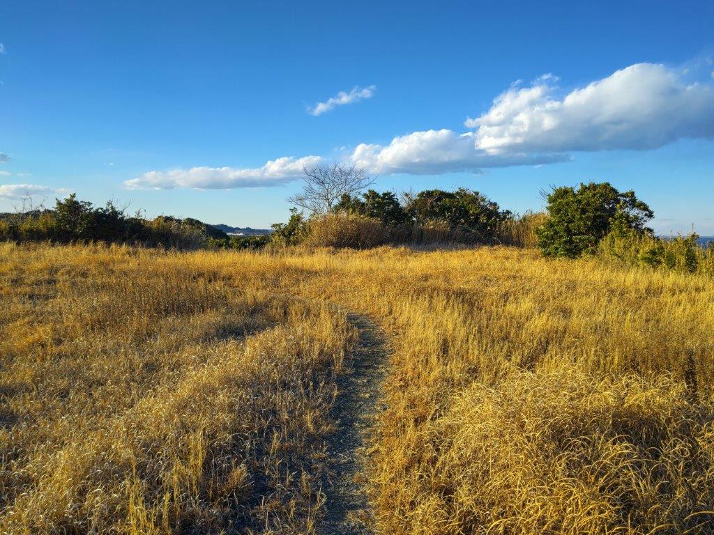
I was lucky to reach this photogenic rocky island while it was till bathed in sunlight. After enjoying the view of the yellow cliffs surrounded by blue sea, I continued northwards, and past a tunnel and a seaside resort, reached the entrance of the Taito Hiking Trail (太東ハイキングコース). Sadly this side of the trail had become overgrown and was now permanently closed. I followed the road till it merged with a busy thoroughfare, but soon turned right, heading towards Taito Beach (太東海岸). Very soon, I spotted the other end of the hiking trail, a series of steps leading up a bluff on the right side.
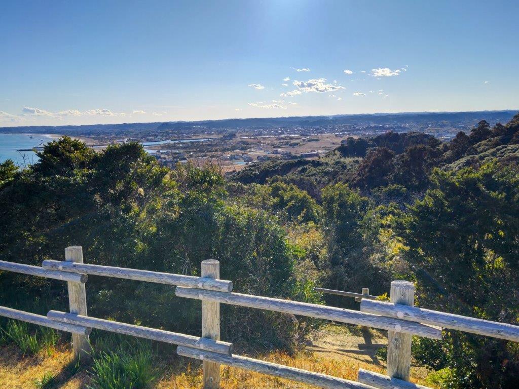
View of Izumiura Bay and Isumi River from Taito Cape
Deep Blue Pacific Ocean from Taito Cape
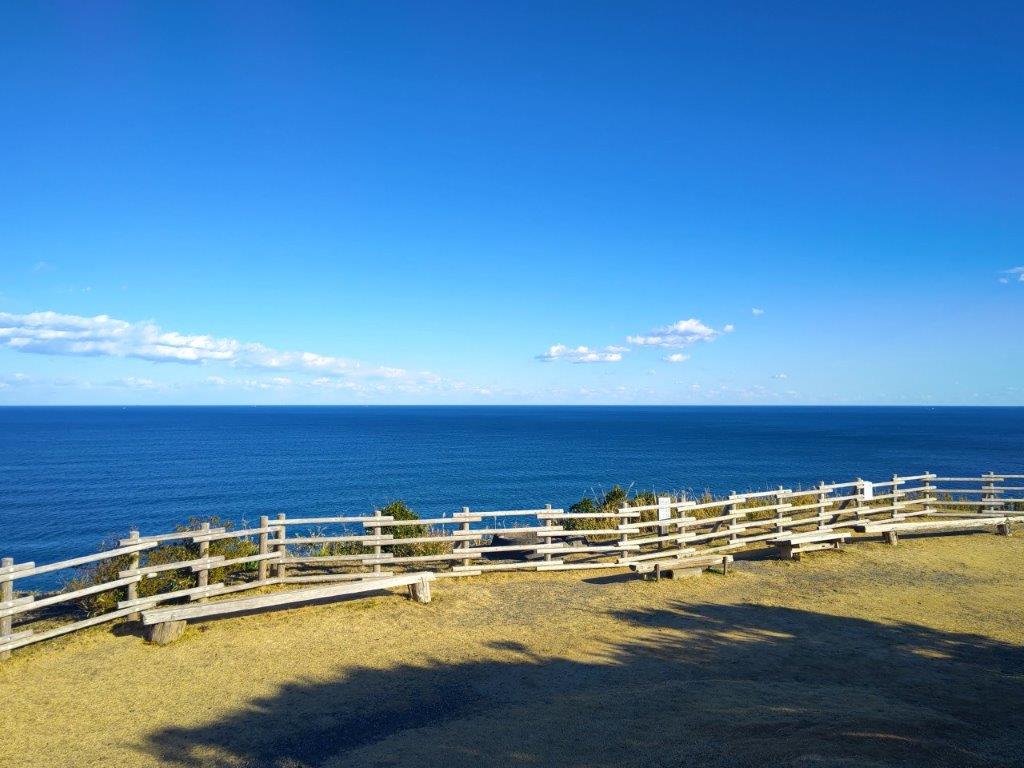
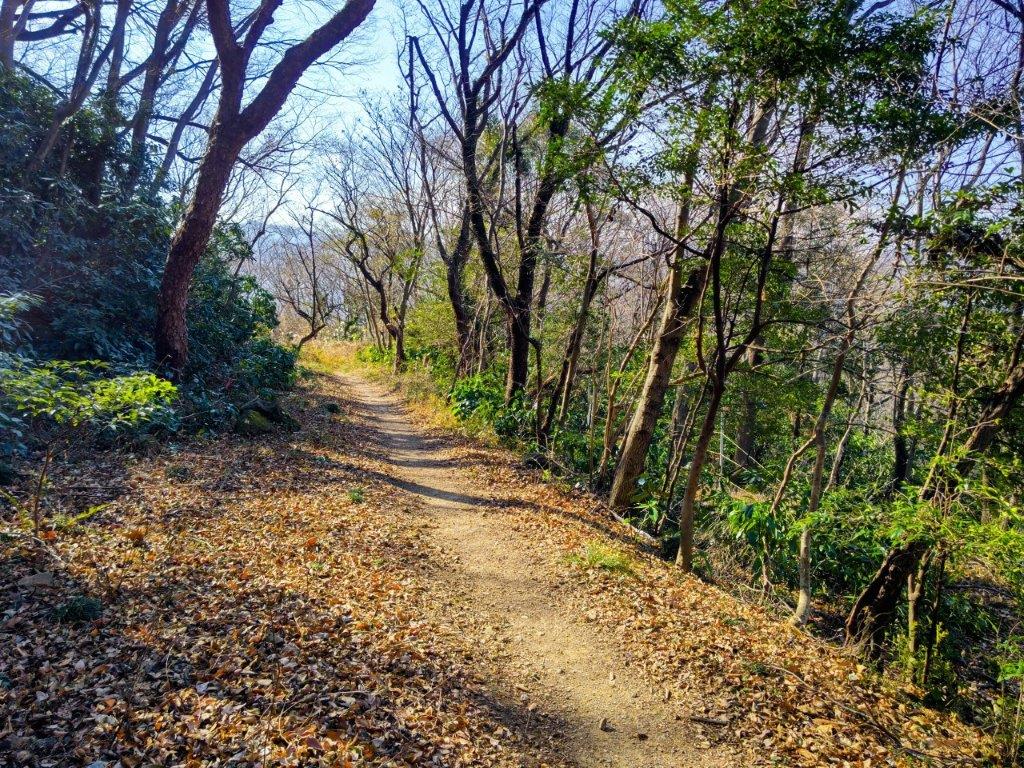
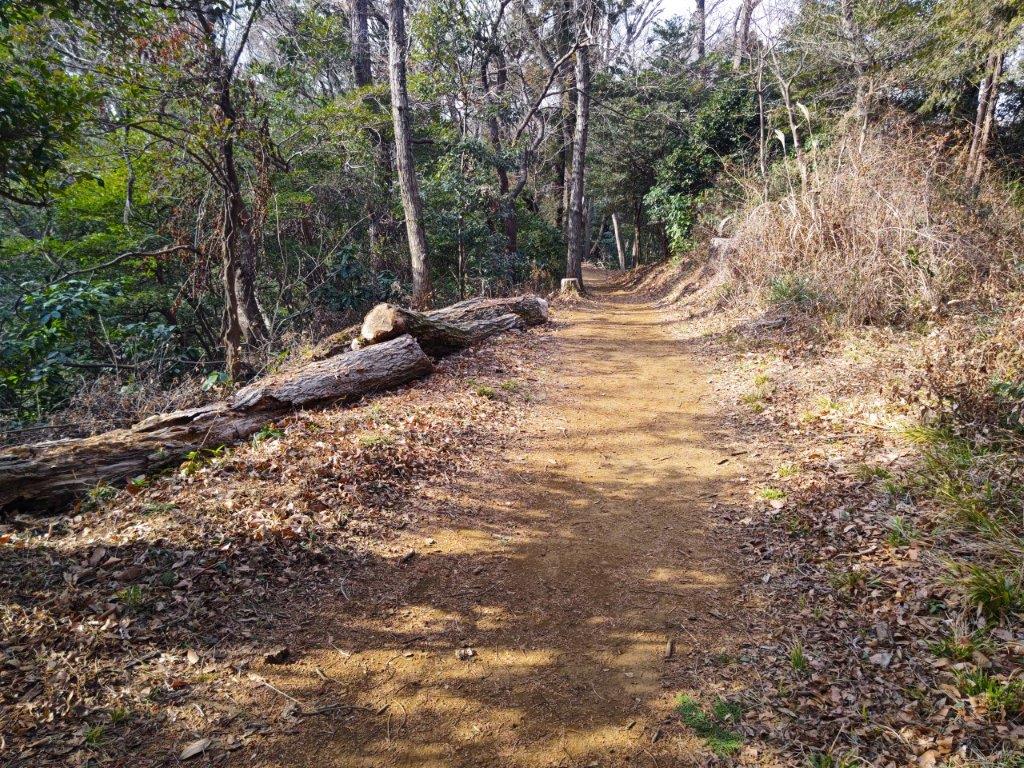
I was excited to be finally walking on an actual hiking trail. At the top of the steps, I crossed a wide, level grassy space ending at another series of steps. Between the vegetation on the left side, I had glimpses of Kujukurihama beach, today’s final destination. At 4pm, I popped out onto the Taito Hiking Trail Observation Point (太東ハイキングコース展望台 47m) where I once again had a wide view of the Pacific Ocean on the east side.
Swallow Island past Taito Cape

Hiking Trail for the Observation Point
Suddenly, I noticed a bird of prey circling overhead, always a pleasure to observe wildlife on a hike. After a short break, I made my way back down to the base of the bluff and continued along the main road. It was getting late so I decided to skip the last part along the beach, having visited it in the past, and head straight for the station.
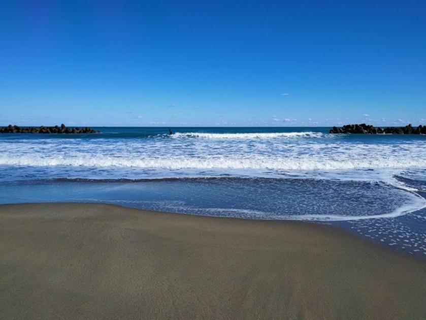
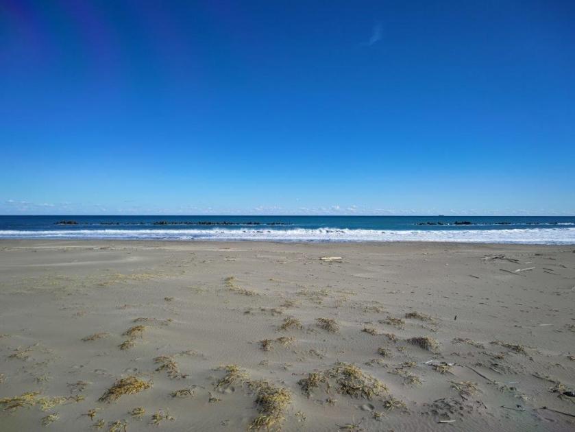
Taito Beach at the Start of Kujukurihama
Heading Back from the Observation Point
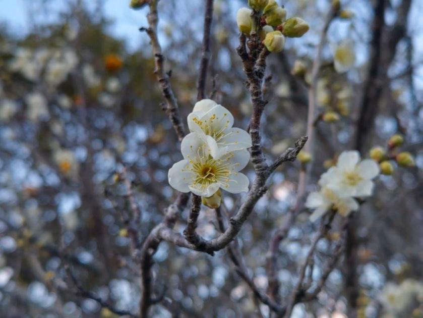
Along the way I was rewarded with some very early plum blossoms, probably due to the mild seaside climate. A little before 5pm, I reached Torami Station, one of the most undeveloped stations I had ever been to. After riding one stop to Kazusa-Ichinomiya station, I hopped onto the limited express for the one hour ride back to Shinjuku. The Kanto Fureai Michi continues past Torami and connects with the Kasamori Green Path, so one day I hope to return to continue my exploration of this network of trails surrounding the Tokyo area.
Watch a video of the Ohara to Taito Beach Hike
Watch the Video of the Hike on YouTube


See a Slideshow of More Pictures of the Hike


You must be logged in to post a comment.