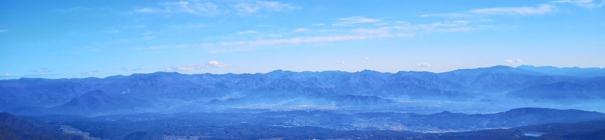
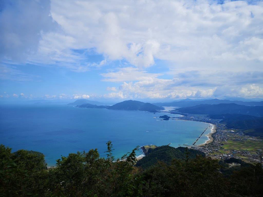
A hike up Mt Aoba offers refreshing nature, breathtaking views, and some thrilling climbing sections between its Eastern and Western peaks. This sacred cone-shaped mountain is also known as Wakasa-Fuji, after the old name of Fukui prefecture’s scenic coastline. Well off the beaten trail, this five-hour loop hike up and down Takahama Town’s highest mountain can be done as a day trip from Kyoto or Osaka.
Hiking is the Wakasa Bay Quasi-National Park
若狭湾国定公園
Find my Hikes on Japanwilds
Find Japan Hiking Maps on Japanwilds and subscribe to our newsletter
View of Mt Aoba from the East Side
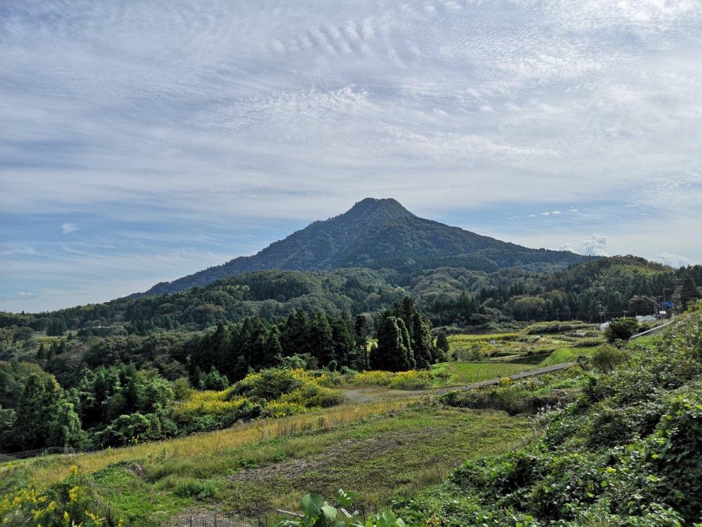
View of Mt Aoba from the West Side
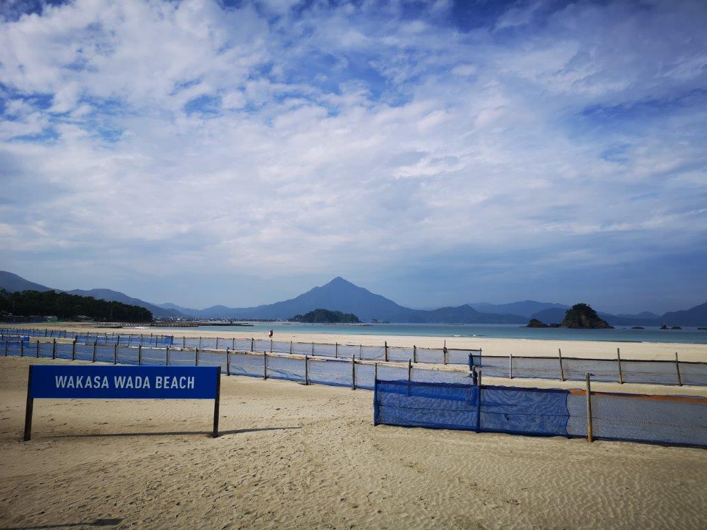
At 693m, Mt Aoba (Aobasan 青葉山) may seem like a relatively low peak. However, it’s important to keep in mind that you’re starting from about 100 meters above sea level, so some effort is required in order to overcome the nearly 600 meter elevation gain; furthermore, the comfortable temperatures at the base will turn chilly around the windswept summit areas. From Takahama’s Blue Flag beach, one look at the cone-shaped Mt Aoba rising straight from the sea, will make you realise this climb should not be underestimated. Its resemblance to Japan’s most famous volcano has earned it the nickname of “Wakasa-Fuji”; factoring in its picturesque location right on the coast, its inclusion in the Kansai 100 famous peaks (Kinkihyakumeizan 近畿百名山) is no surprise. Finally the mountain name means “Green Leaf” since the Japanese sometimes use the word blue to describe green colours.
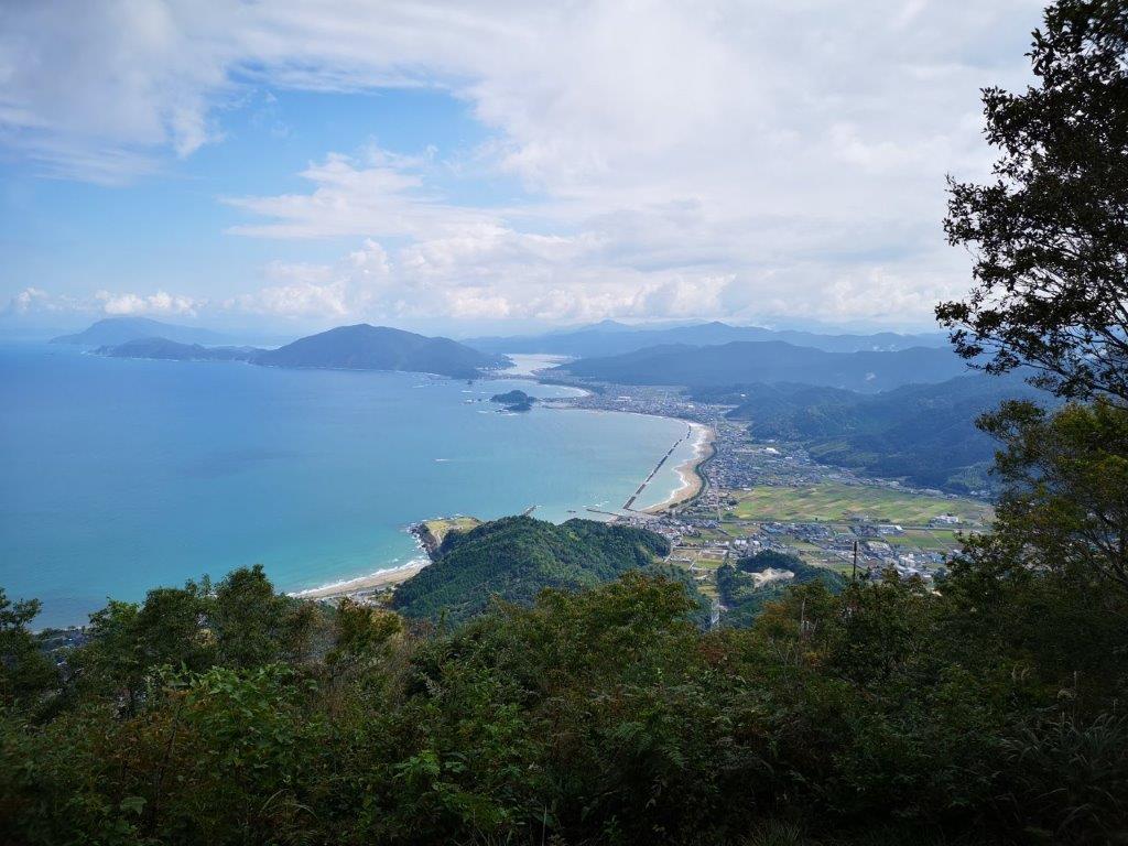
View of Takahama and Beach from the Lookout
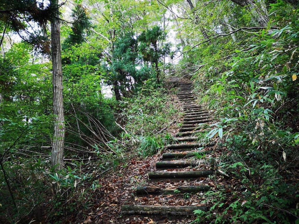
Log Staircase between the Lookout and the Eastern Peak
When viewed from a different angle, Mt Aoba reveals two separate peaks: the Eastern peak, (Higashimine 東峰) facing Takahama town, is the highest at 693m. The Western peak (Nishimine 西峯), visible from Uchiura bay is just one meter lower at 692m. Luckily, the path up the Eastern peak is relatively easy, so a round-trip to this summit will give you both a comfortable hike and the satisfaction of having climbed to the highest point; however, the best views are from the Western peak. Mt Aoba not only resembles Mt Fuji in shape – geologically it is also a volcano, albeit a dormant one: its last eruption was 4 million years ago. You really get a feel of this once you enter the part between the two peaks: many volcanic rocks and boulders are scattered on the trail, requiring ropes, chains and ladders. This section will take you nearly as long as the initial climb, and is another reason why a full hike up Mt Aoba shouldn’t be taken lightly.
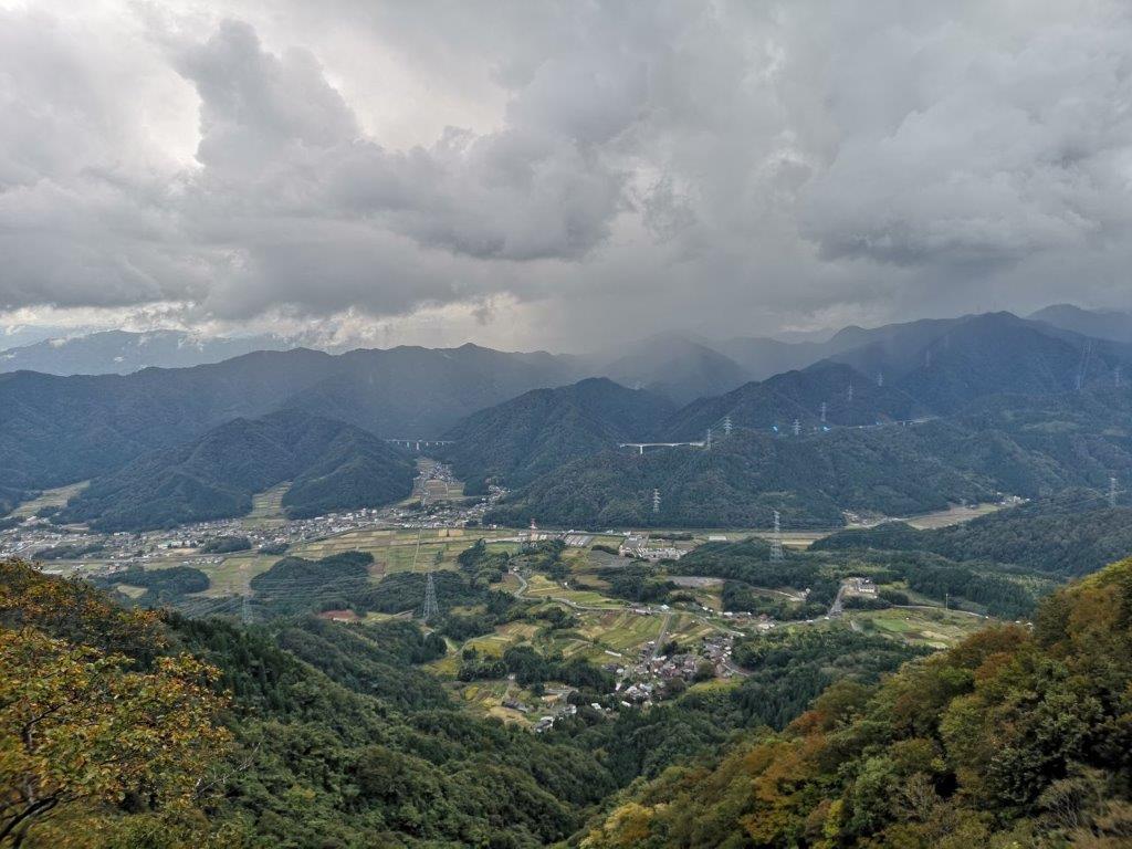
View of the Valley past Umanose
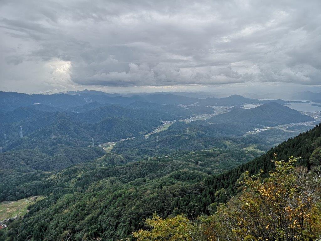
View North towards Kyoto
There are four starting points for climbing Mt Aoba. The path I describe here starts on the Eastern side, from Nakayama-guchi (中山口). The best way to get to the start of the trail is to take a taxi. Alternatively, you could rent a car – the tourist office located inside Wakasa-Takahama station can help you arrange the details, as well as provide you with a map of the hiking trails (with photos of the different sections). The trail starts on the right side of the road, a few hundred meters past the Aobayama Herbal Village (Aobasan Habarubireji 青葉山ハーバルビレッジ). The path for the Eastern peak is easy to follow with frequent signs indicating the distance in kilometers to the summit.
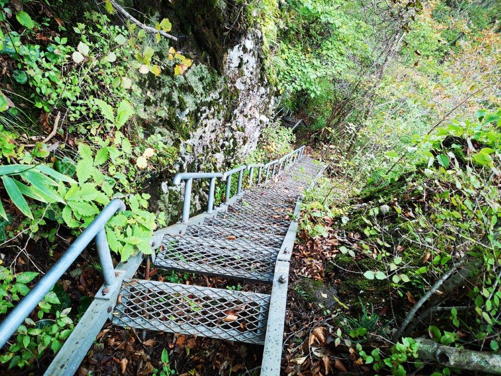
Looking Down the Staircase
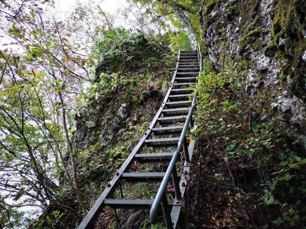
Looking up the same Staircase
Very soon you’ll find yourself walking up the side of the volcano, along a switchback trail, surrounded by deep forest. After nearly an hour, you’ll reach a viewpoint of Takahama town and the Wakasa Wada Blue Flag beach. There is even a very small wooden lookout tower where you can sit in the shade and take a short break while taking in the view. The path continues up a little more before reaching a relatively flat part, from where you can see what looks like the top, but actually isn’t. This fake summit is reached by a staircase of wooden logs that heads straight up through the forest.
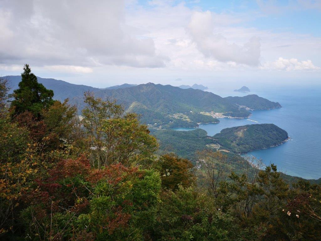
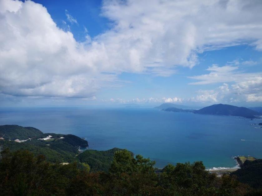
View of Wakasa Coast from the Western Peak
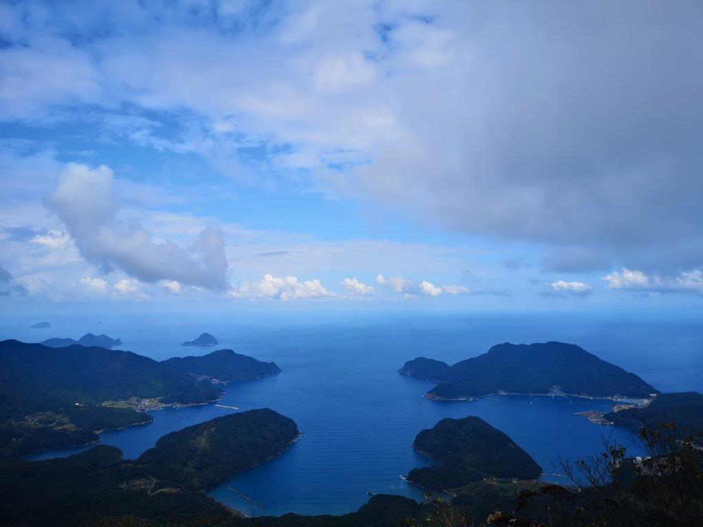
Uchiura Bay from the Western Peak
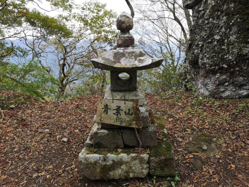
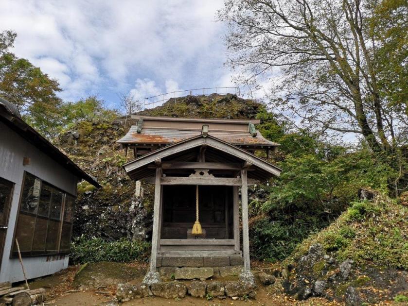
You’ll get a sweeping view of the valley and mountain ranges to the south at the top of a rocky outcrop called the Umanose (馬の背), meaning “the back of the horse”. If you are sure-footed, you can venture on to the horse’s back for a better view – just be careful of the big drop on the other side. Otherwise you can continue along its base. It should take about half an hour from the observation point to get here, and another 10 minutes to reach the true summit, the Eastern peak at 693m. You’ll get a bird eye’s view of the valley on the left, but make sure to stay behind the rope because you are at the top of a cliff. On the right is the summit marker, next to a small shrine.
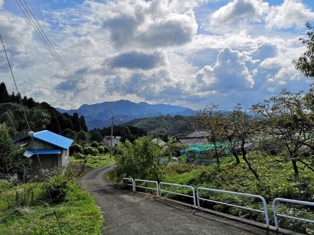
The last Part of the Hike along a Countryside Road
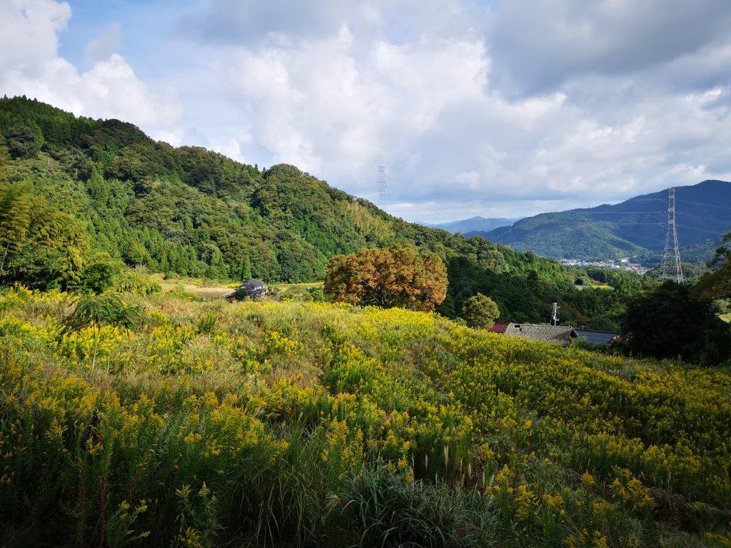
Walking through the Foothills of Mt Aoba
Those who are looking for a straightforward hike, can turn back here and go down the same way. The next part will require the use of hands and a good sense of balance. At first, the path will descend slightly, and after a few minutes, you’ll arrive at a short metal ladder. After reaching the top, you’ll need to navigate a cliff with the help of a rope, probably one of the trickiest parts of the hike. Next is a long descending metal staircase, at the bottom of which you’ll need to squeeze through a crack in a big boulder blocking the way, after which you’ll make the final ascent up the Western summit. There is another shrine and a good view towards the South. However, the best view is obtained by clambering to the top of a boulder fitted with chains just behind the shrine. Here you will be rewarded with a sweeping view of Uchiura bay.
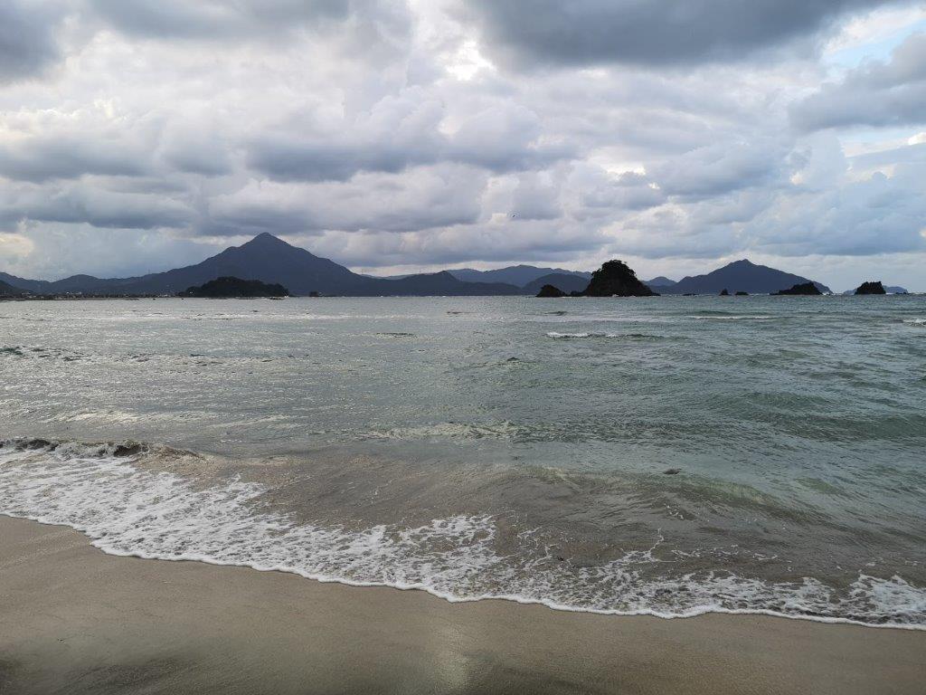
Mt Aoba (left) from Wakasa Wada Beach
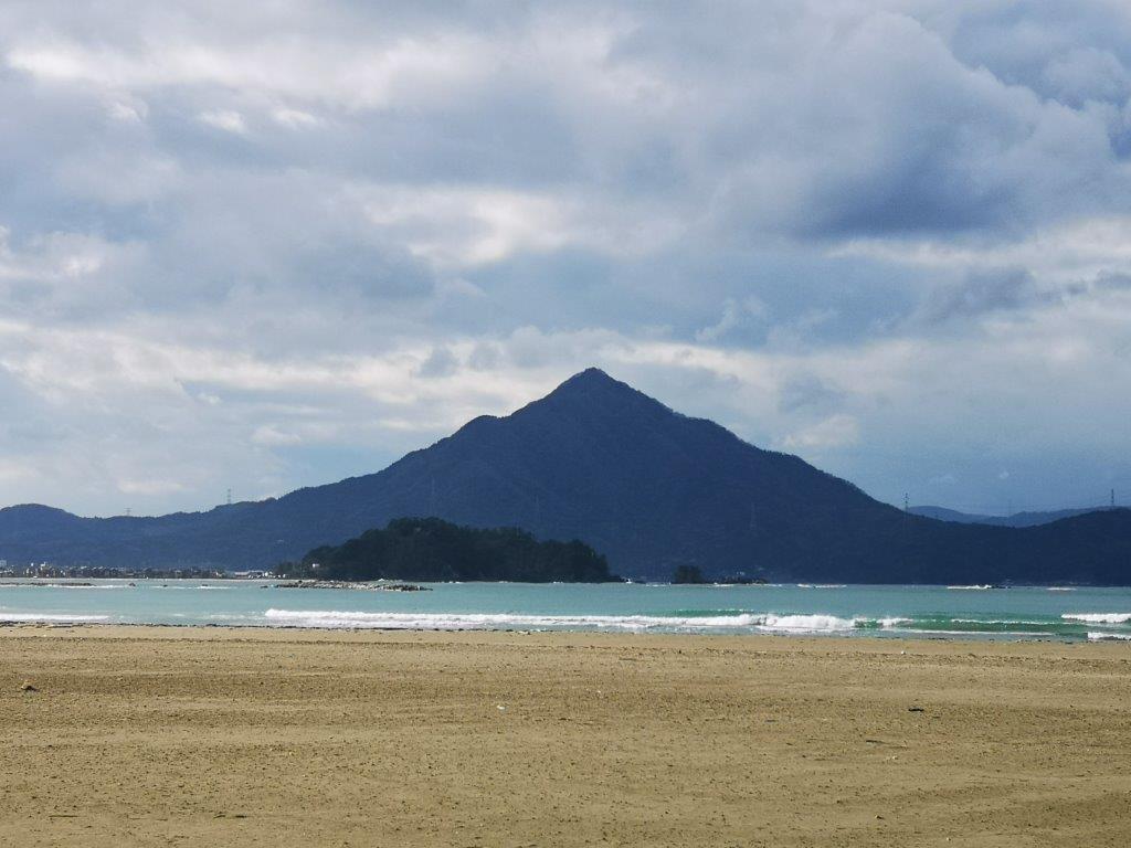
Called Wakasa-Fuji due it’s Cone Shape
The descent is a relatively normal hiking path, a relief after the epic ridge crossing; however, the signage here is in poor condition so some trail-finding using a map or hiking app might be needed. First, continue along the path and take a left turn at the first junction. The path will descend quickly along a tight switchback. After a while, you’ll cross a forest road and shortly after that you’ll get to another junction – take the right branch. You’ll soon emerge onto an asphalt road which you can follow to a small village called Imadera (今寺). You can return to your starting point by following the small road on the left. Although it follows a road for most of the way, there are few cars, and the views of the valley are quite pretty; Takano (高野) village on the way, is especially nice. If you don’t have your own transport, then instead of walking all the way back to Aobasan Herbal village (one hour), you can head down to Aonogo (青郷) station on the Obama (小浜) line after crossing Takano village (also about an hour in total).
Watch a Video of the Hike
See More Pictures of the Hike

