

I was looking for a short, low-altitude, and relatively easy hike near Tokyo, with some good views, as well as a hot spring bath at the end, to take full advantage of the clear skies of the cold winter days. Poring over my map, I spotted a peak in the Tokigawa area, overlooked up to now, but which checked all the boxes. The summit was supposedly in the trees, but the shoulder beneath it was described online as a “Scenic ridge”. As an added bonus, I could check out the Sanba Gorge on the Toki river before heading to the nearby Toki no Yu hot spring.
For subscribers, read this Post on Hiking Around Tokyo for a better viewing experience and the latest updates
To get to the start of the hike, I’d rode a Tobu-Tojo express train from Ikebukuro directly to Ogawamachi, and there, hop on a local bus for the short ride to Suzume Dam. After a hot spring bath at the end of the hike, I’d walk a short way to the Seseragi Bus center. There, I’d catch a bus for Musashi-Ranzan station, and then board a Tobu line train for the trip back to Ikebukuro. The weather was supposed to be cold and sunny all day, and I was looking forward to a relaxing hike in the hilly countryside of Oku-Musashi.
Hiking in Oku-Musashi 奥武蔵
Find Japan Hiking Maps on Japanwilds
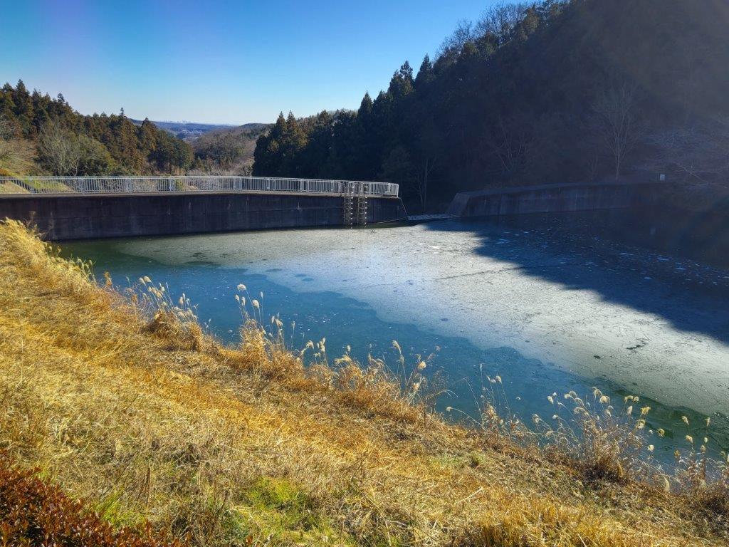
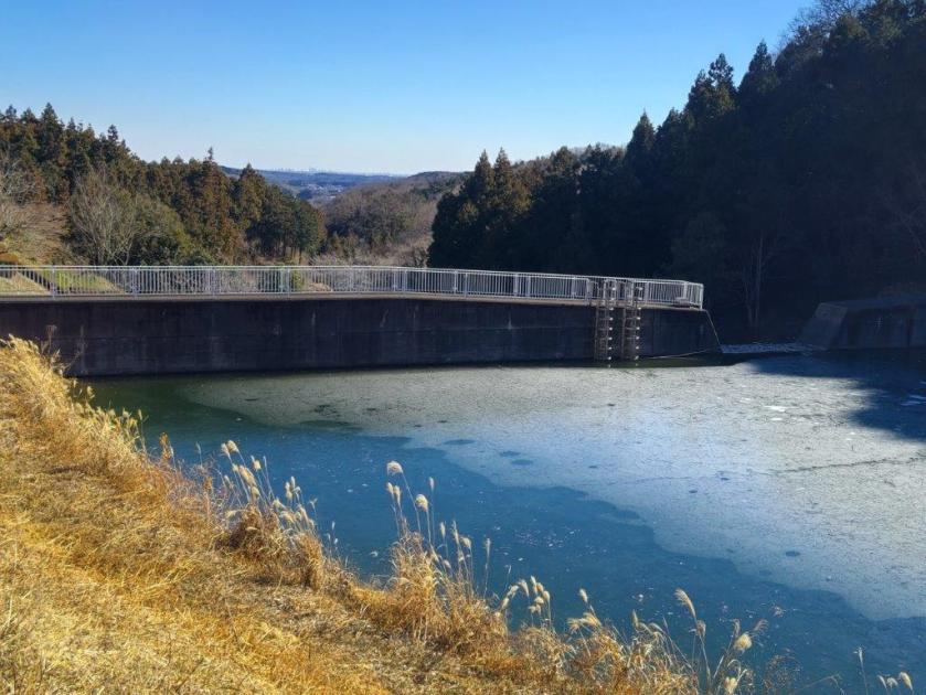
Suzume River and Dam
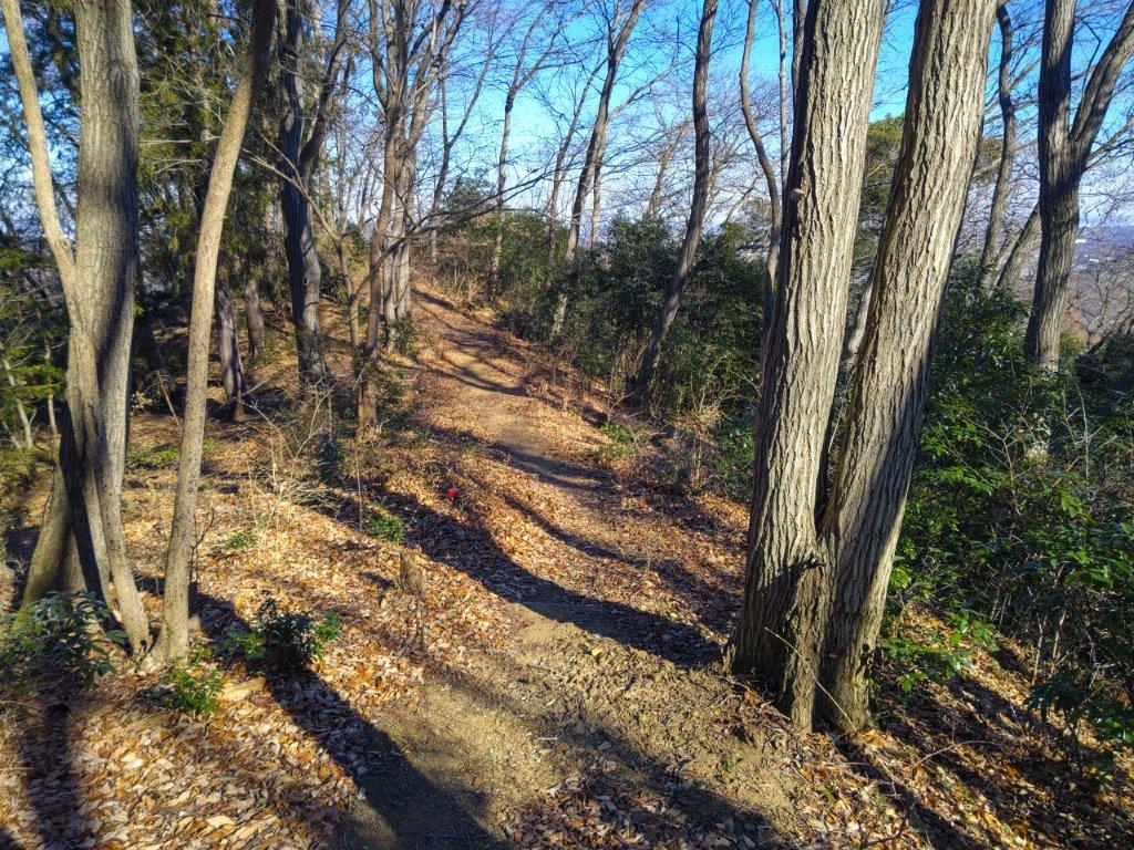
Trail past the Summit of Mt Raiden
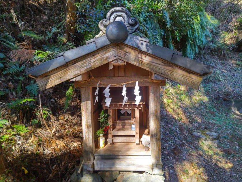
It was another splendid winter day as I rode the express train to Ogawamachi, arriving there around 11am. After a short ride on a diminutive bus filled to capacity, I got off at the Suzume Dam entrance (雀ダム入口) in Hikage, actually a 10-minute walk to the dam itself. Along the way, I passed Hikage Shrine, its “shide” (zigzag-shaped paper streamers) swaying gently in the breeze. At the top of a slope, I reached the parking of a park, descriptively name the Suzume river dam erosion control park (雀川ダム砂防公園). A short climb up a steep staircase brought me to the top of the dam wall.

Sunny Hiking on a Winter Day
Following the Panoramic Ridgeline
Surprisingly, the water behind the dam was half frozen, sparkling white under the morning sun; yellow Japanese Pampas grass (“susuki“) in the foreground completed the scenery. In the far distance beyond the top of the dam, I could see the skyscrapers of Tokyo. I followed the road into the forest, and past a bend, reached a signpost marking the trail entrance on the right, shortly after noon.

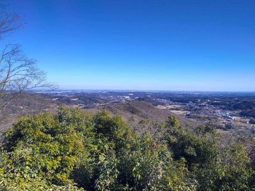
View Southeast of Tokigawa Town
View East of Mt Doyama
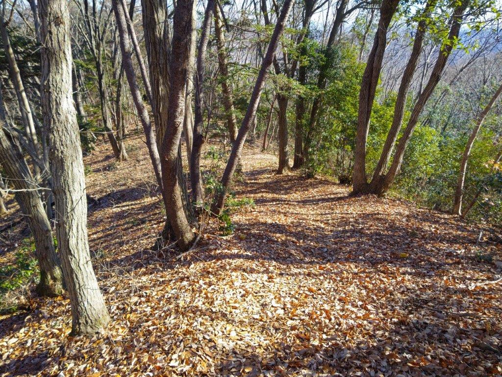
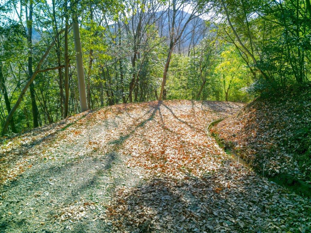
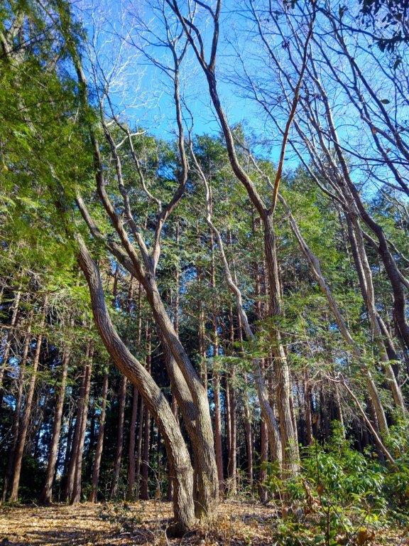
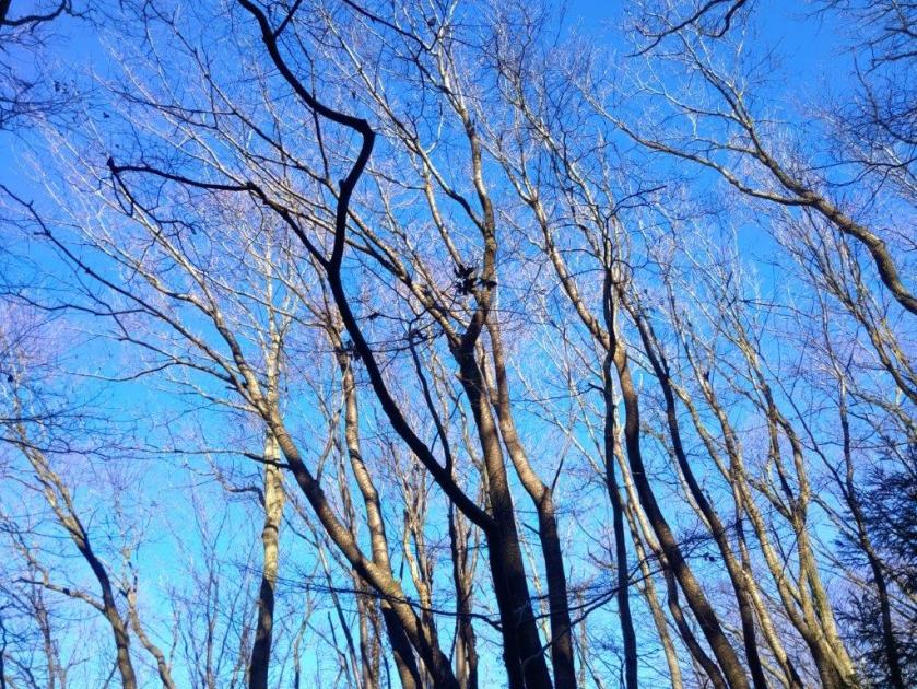
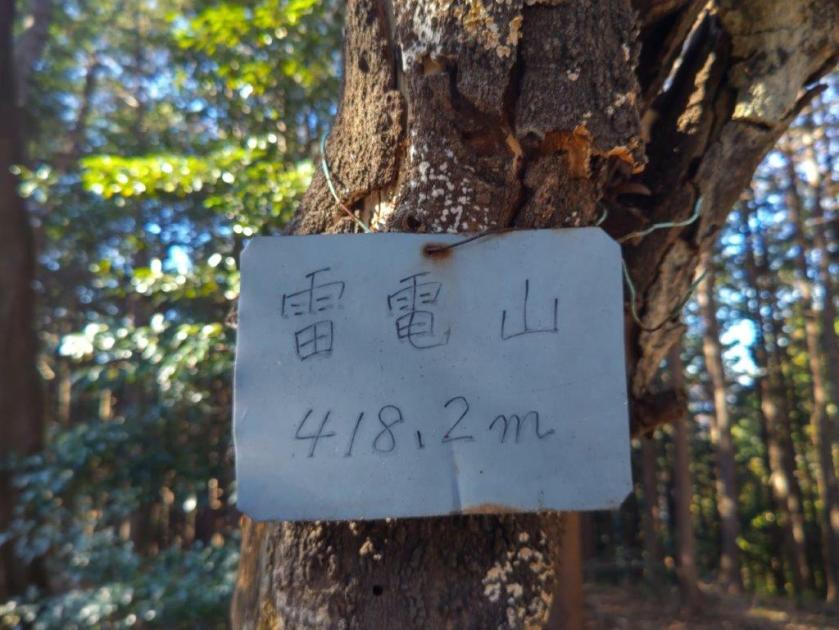
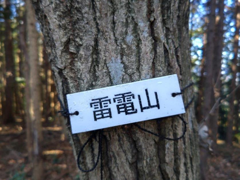
It was a pleasant climb up a gentle slope through a mixed forest, the warm sunlight filtering through the leafless trees. Less than an hour later, I arrived at the small shrine marking the summit of Mt Raiden (雷電山 らいでんやま raiden-yama meaning thunder and lightning). This peak might hold the record for the most summit markers: I counted five different ones. It was completely in the trees, so after a short break, I headed down a trail on the east side.
View South of Mt Yumidate

Trail for Mt Doyama
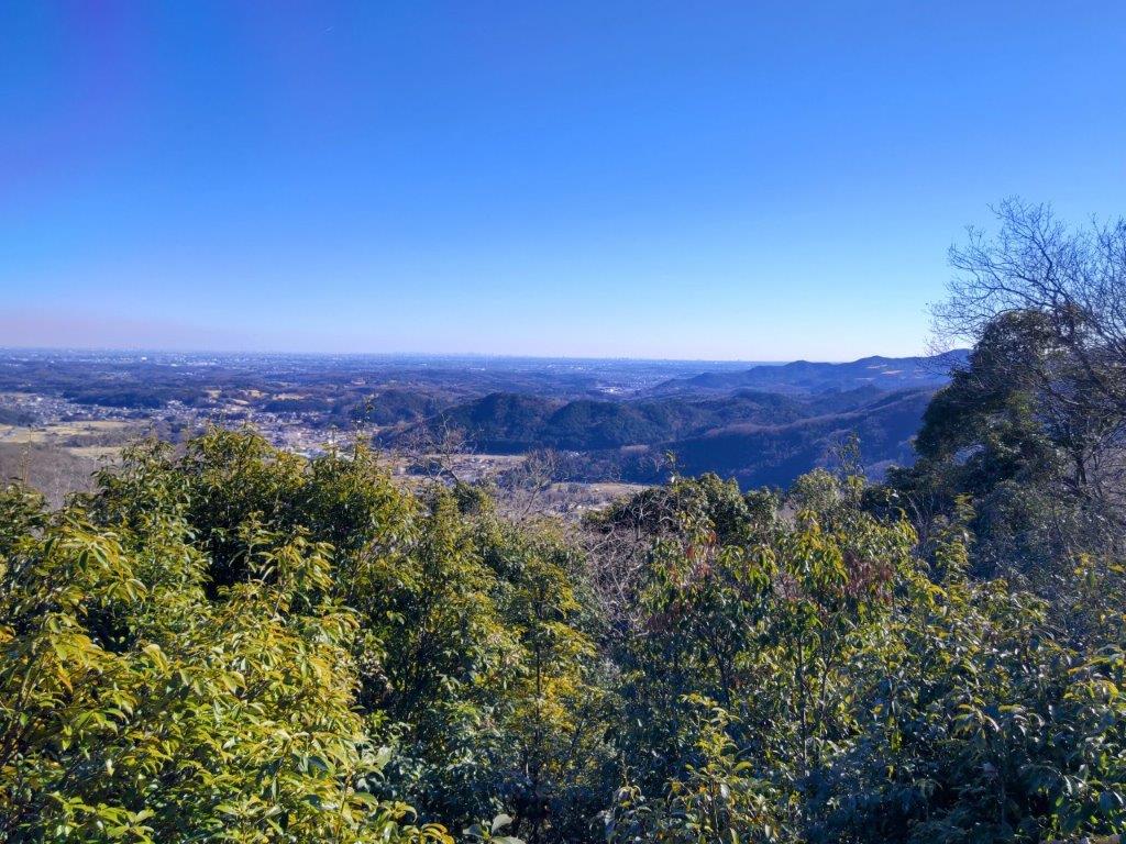
I felt relieved that the trail was easy to walk and well-maintained, just what I had been hoping for. I saw no other hikers so I was also able to enjoy it in near complete silence in this season, before the return of the birds and insects. After a couple of turns, I reached the scenic ridge, although all I could see were the trees on both sides. Suddenly, at the top of a gentle slope and just before a steep descent, a view opened up on the right side.

Trail past Mt Doyama
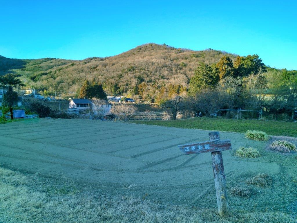
Road near the End of the Hike
I was delighted to finally get a view, especially on such a beautiful day. Looking southeast, I could see Tokigawa Town, and beyond, the Kanto plain with the skyscrapers of central Tokyo in the distance. On the south side was Mt Yumidate, and below on the east side, the next part of the ridge. Since it was 1h30, I sat on a tree root at the side of the trail and had lunch with a view. Once done, I set off again, ready to tackle the steep section head.
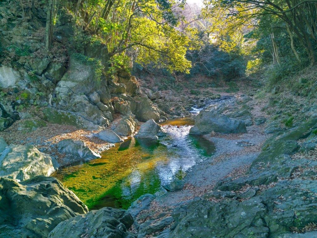
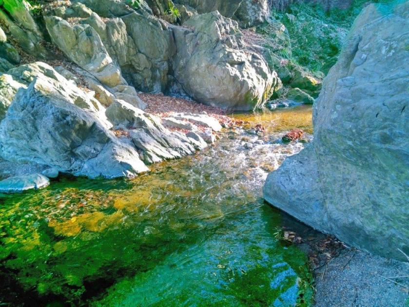
Sanba Gorge on the Toki River
Looking back at Mt Doyama
This was the trickiest section of the hike, dead leaves making it especially slippery. I made good use of the attached rope, and once past it, the trail was mostly level. Thirty minutes later, I passed the minor peak of Mt Doyama 堂山 (どうやま 250m), and there, turned left down a pretty trail through green ferns. At 2h30, I exited the forest and reached a road along the Toki river which I followed to the entrance of Sanba Gorge (山波渓谷). I was lucky to catch the last rays of sun on the cascading, rushing water. After exploring the rocky riverbed for a while, I headed to nearby Toki no Yu at. After a relaxing bath, I walked to the bus center where I boarded another diminutive bus for the short ride to Musashi-Renzan station.
Watch a video of the Mt Raiden Hike
Watch the Video of the Hike on YouTube


See a Slideshow of More Pictures of the Hike
