

For subscribers, read this Blog Post on Hiking Around Tokyo for a better viewing experience
This hike requires a GPS device
I always find it tricky to select the final hike of the year since many bus services switch to special year-end schedules. This year was doubly difficult due to the unusually short “shogatsu” (Japanese new year holidays), meaning the day of my hike coincided with the first day of the holidays, and limited express trains were fully booked. Inspired by my previous outing, I decided to head to Hashimoto again, and ride the bus to the end of the line, near the western edge of Tsukui lake, my first time to visit that area. Looking at my map, I saw I could hike in the Tanzawa mountains, last visited nearly 3 years ago. I would summit a couple of minor peaks, and finish at a view point on Lake Miyagase, from where I could catch a different bus back to Hashimoto. The weather was supposed to be sunny and mild, as it usually is at this time of the year. I was looking forward to exploring a new area on my last hike of 2023.
Hiking in the Tanzawa Mountains 丹沢山地
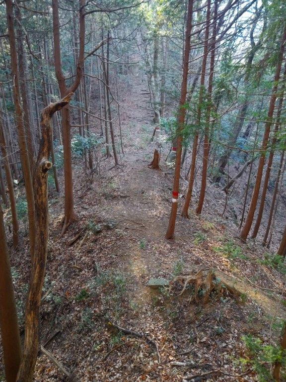
Heading up to Sagami Forest (left) Hiking between Mt Sendoji and Mt Baba (right)
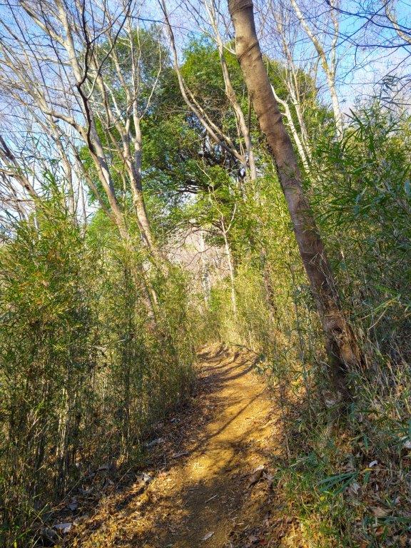
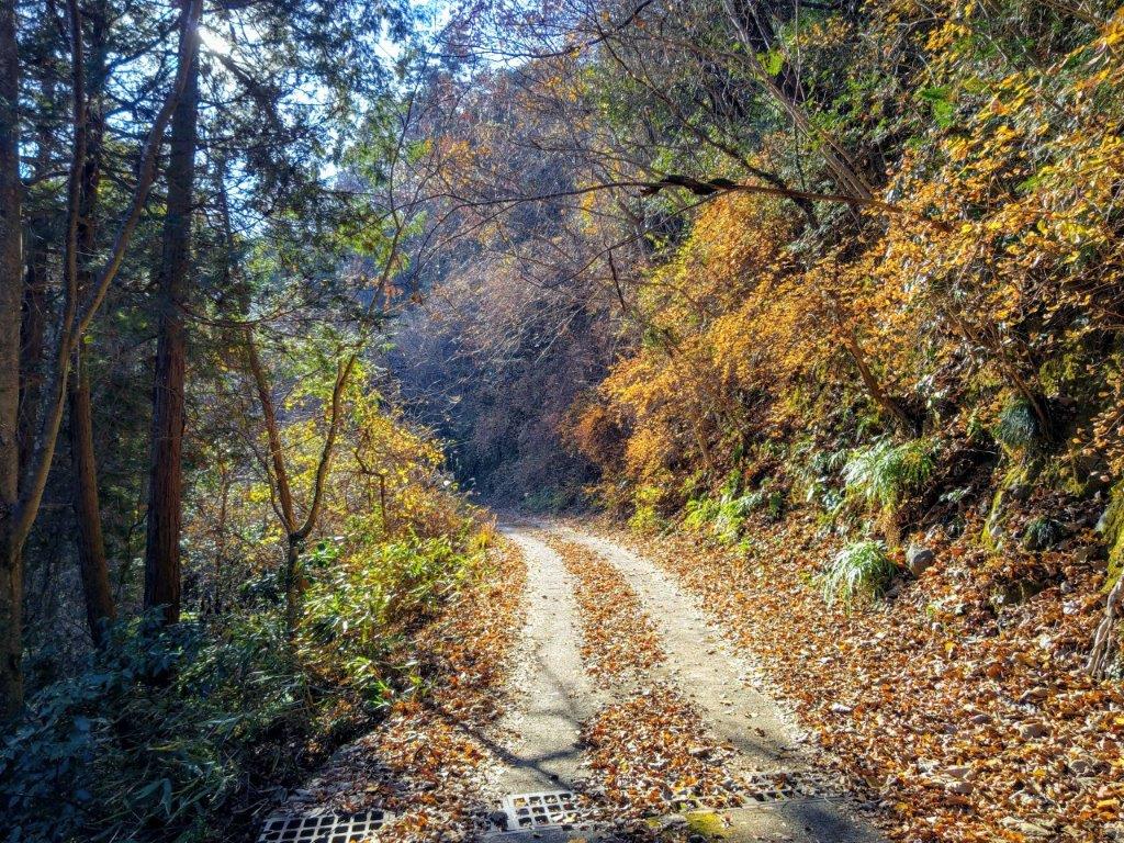
Walking down from Mt Sankaku
The express train was mostly empty for the one-hour ride to Hashimoto Station. I had a quick breakfast at the McDonalds near the south exit before heading to the north exit where I hopped on the bus for Mikage (三ヶ木), getting there around 10am. I dropped by a supermarket conveniently located on the way to the trail entrance. After buying supplies for the day, I continued along a busy road, and at 11am, turned right onto a road thankfully closed to traffic, but not hikers, that led up the mountain side and into the forest; it wasn’t signposted and it was only thanks to my phone GPS I managed to locate it.
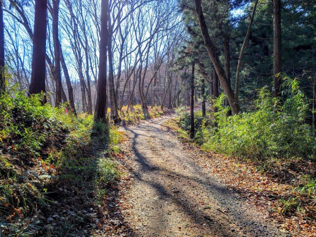
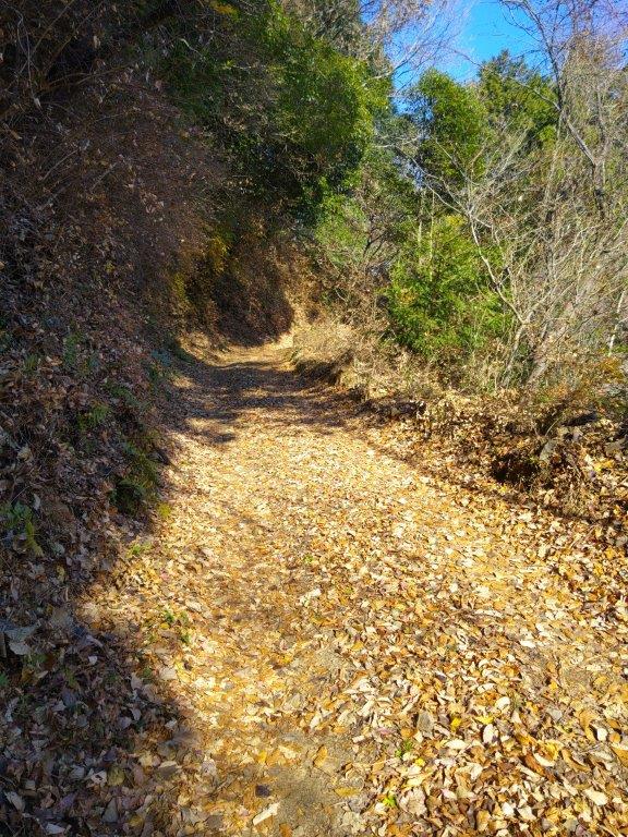
Start of the hike in Sagami Forest

First view north towards the Mt Takao area
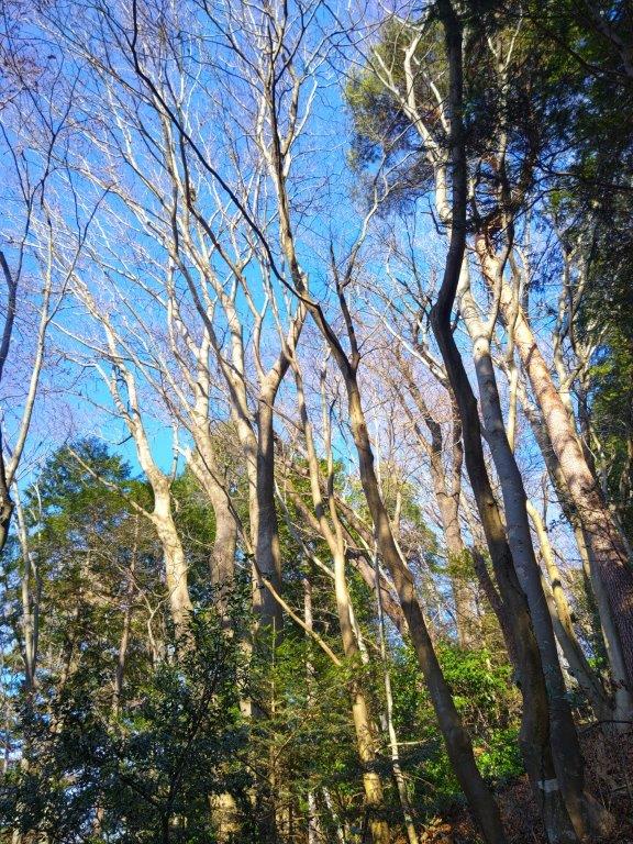
I was delighted to be walking on a forest road through beautiful, sunny forest, away from the noisy road. After a couple of switchbacks, I had a view on the north side of the mountains on the other side of Sagami river. I could see the spot where I had been hiking the previous week. A little later, I had a view on the east side of Mt Shiroyama. A little before noon, I arrived at signboard for Forest 21 “Sagami no Mori” (Sagami’s Forest) and the start of the hiking trail. I took the left branch, the valley trail (谷道), along the mountain side, and very soon, I had some good views on the east side.
Road to Forest 21 Sagami’s Forest

A solitary hike on a sunny day
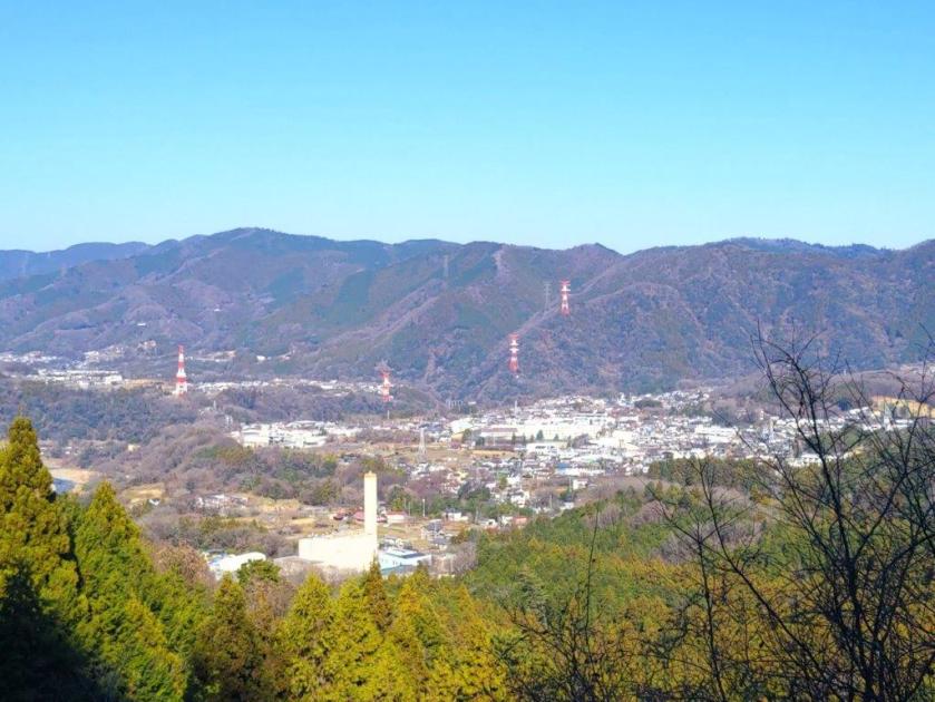
It was like gazing into a hidden valley, the Tokyo’s tall buildings almost hidden by the hilltops; as the noon chime rang out, I was reminded how close I was to civilisation. At the one point, all signs of the trail vanished, and I had to rely on my phone GPS to find my way back to the ridgeline. The trail remained faint, and I was completely dependent on my GPS signal and the occasional pink ribbon strip. I was moving through beautiful, mixed forest, and at times, it was easy to forget I was only a stone’s throw from Tokyo’s urban jungle. At the top of a short climb, I arrived at the summit of Mt Sendoji (仙洞寺山 せんどうじさん sendojisan), completely within the trees.

View of a Hidden Valley from Sagami’s Forest
Steep Climb up to Mt Baba
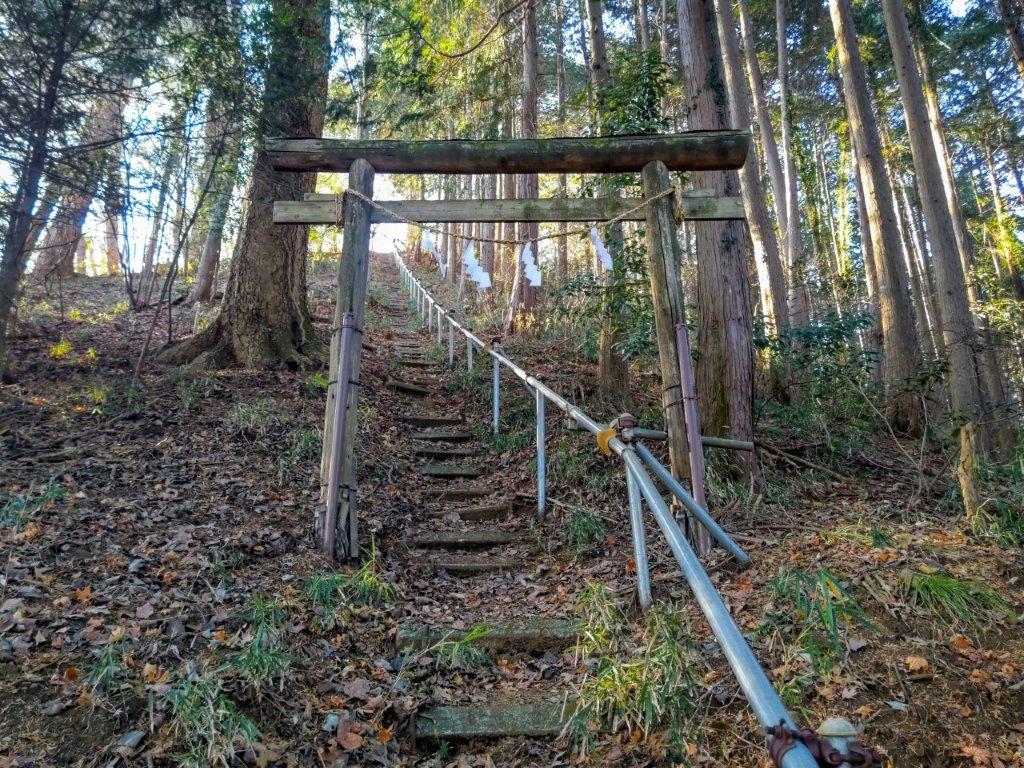
I was glad the summit was bathed in sunlight, the trees growing less thick and allowing for a patch of open sky. Since it was past 1230, I sat down for lunch. I set off again after 1pm, and found the trail to be just as hard to follow as before. After a steep descent, I reached a forest road, beyond which was a proper path. After another steep descent, the trail curved to the right, and started to climb gradually. I was completely surrounded by nature and found it hard to believe I wasn’t deep inside some national park. Suddenly, I reached the base of a steep series of steps, at the top of which was a small shrine, the top of Mt Baba (ババ山 ばばやま babayama). Since I couldn’t see a summit marker, nor a view, I quickly moved on, and after a short downhill section, arrived at an electric pylon.

Arriving at the top of Mt Baba

Heading back from Mt Sankaku
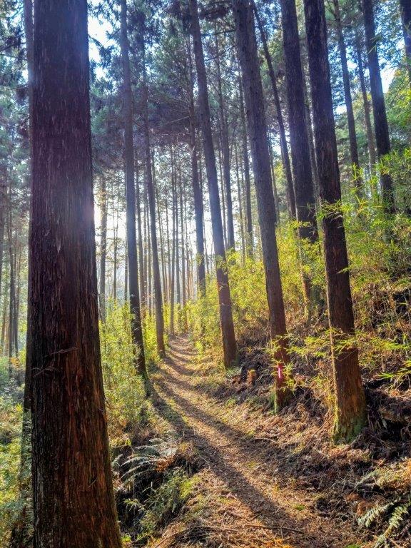
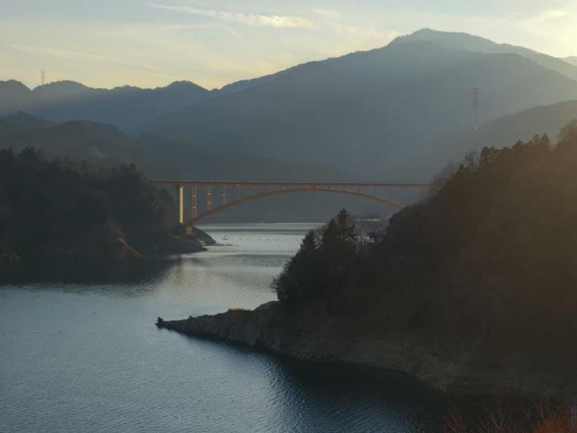
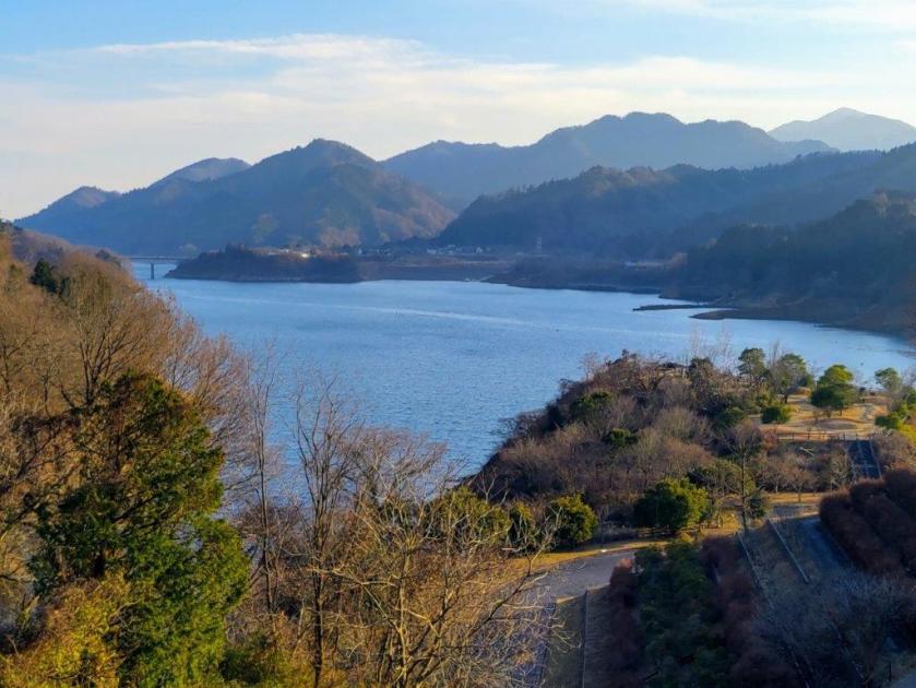
I continued up a sunny, narrow ridge, the higher peaks of the Tanzawa mountains visible through the leafless trees. At 2pm, I arrived at the top of Mt Sankaku (三角山さんかくやま sankakuyama), also the location of a TV relay station. Once again, it was surrounded by trees, so I soon headed back to the pylon, where I took a path heading down on the west side. After passing under some tall cedars at the base of the mountain, I emerged onto a road. I then walked through the countryside for half an hour before reaching Toribara Park (鳥居原園地) at the edge of Miyagase Lake (宮ケ瀬湖) at 3h30. After enjoying the late afternoon views of the lake and the Tanzawa mountains, I boarded a bus for the 30-minute ride back to Hashimoto station.

Looking back at Mt Sankaku (left) and Mt Sendoji (right)
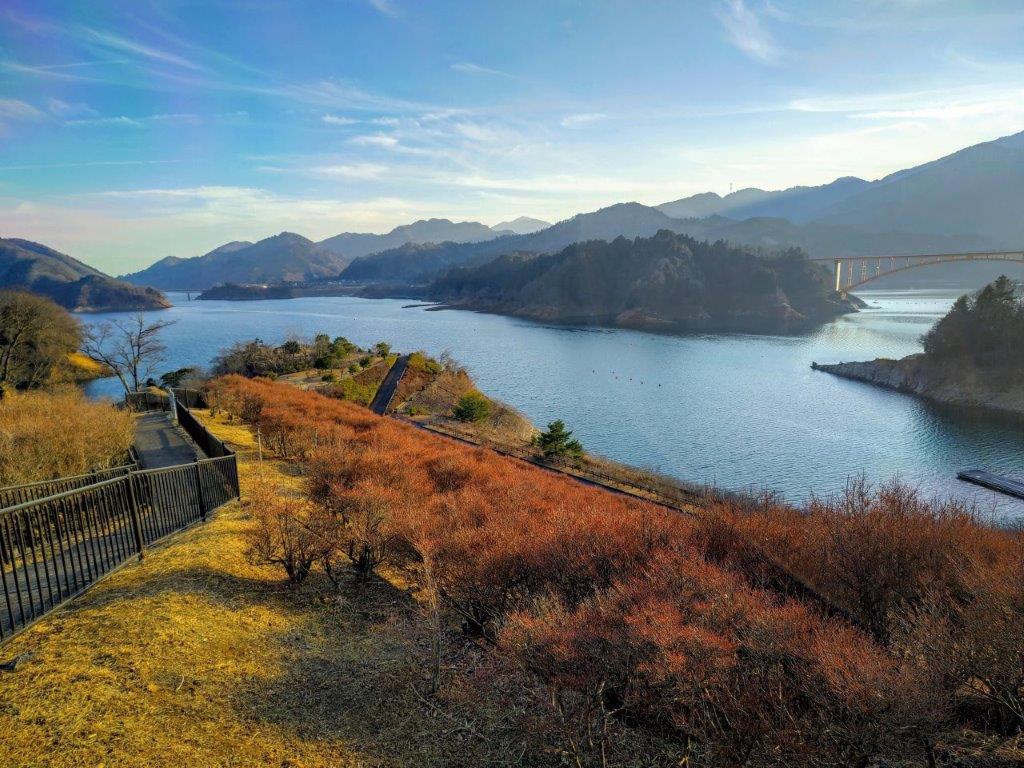
View of Miyagase Lake from Toribara Park
I was entirely satisfied with my final hike of the year. Thanks to my phone GPS, I was able to save time looking for the trail. It’s a shame it isn’t better maintained, since it’s a beautiful patch of nature, wedged between two populated areas; perhaps the point is to keep it that way. It took a good five hours from start to finish, four of which were on forest roads, hiking trails and just walking through the forest. I saw no one else but that could be due to the year-end holiday period. In the future, I’d like to return to the end of the hike and continue the following the trail westwards into the Tanzawa mountains.
Watch the Video of the Hike on Youtube


See a Slideshow of More Pictures of the Hike
