Skip to content

Hiking Around Tokyo

Relax Refresh Reflect

  • 6 Tips for Planning Your Hike
  • Soba & Sake
  • Tokyo Spots
  • Hiking Maps
  • Hyakumeizan
  • Japanwilds
  • Nakasendo
Hiking Around Tokyo

Mt Ibuki (1377m), Maibara City, Shiga Prefecture, May 2014 [Map Available]

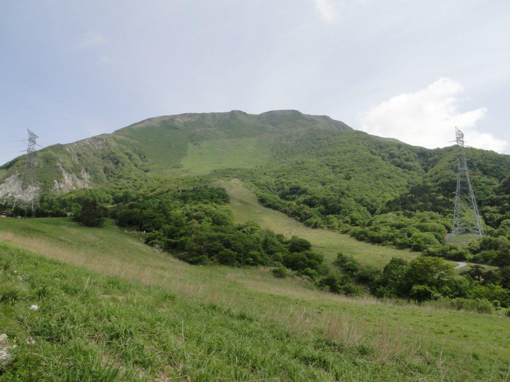
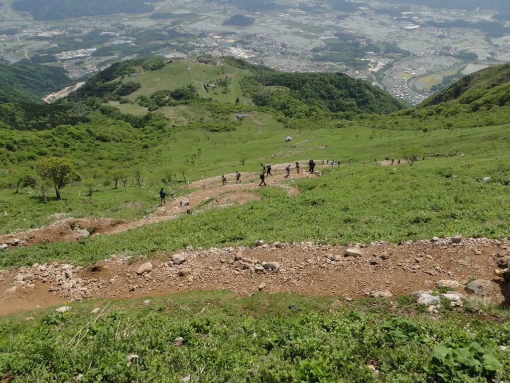
Hiking the hundred famous mountains of Japan 日本百名山

Get a Map of the Mt Ibuki Hike

This map was developed for Japanwilds with the Hokkaido Cartographer

Find more Japan Hiking Maps on Avenza

Share this:

  • Share on X (Opens in new window) X
  • Share on Facebook (Opens in new window) Facebook
Like Loading...
Unknown's avatarAuthor DavidPosted on May 24, 2014January 21, 2024Categories Uncategorized

Leave a comment Cancel reply

Post navigation

Previous Previous post: Mt Kuju (1791m) & Mt Aso (1592m), Oita & Kumamoto Prefectures, April 2014 [Maps Available]
Next Next post: Mt Omine (1915m) & Mt Odaigahara (1695m), Nara & Mie Prefectures, October 2014 [Maps Available]
  • 6 Tips for Planning Your Hike
  • Soba & Sake
  • Tokyo Spots
  • Hiking Maps
  • Hyakumeizan
  • Japanwilds
  • Nakasendo
Hiking Around Tokyo Blog at WordPress.com.
  • Comment
  • Reblog
  • Subscribe Subscribed
    • Hiking Around Tokyo
    • Join 173 other subscribers
    • Already have a WordPress.com account? Log in now.
    • Hiking Around Tokyo
    • Subscribe Subscribed
    • Sign up
    • Log in
    • Copy shortlink
    • Report this content
    • View post in Reader
    • Manage subscriptions
    • Collapse this bar
 

Loading Comments...
 

You must be logged in to post a comment.

    %d