
Exactly five years ago, I had climbed Mt Mitsumine, a hike recommended in my mountains of Tochigi guidebook. Looking at my hiking maps, I noticed another peak directly opposite, not featured in my guidebook. Further research showed that the trail wasn’t in optimal condition, but since I was eager to revisit the area, I thought I would give it a go. I would take the Nikko line from Ikebukuro to Tochigi station, and from there, a bus to the Hoshino Archaeological site. I would take the most direct way to the summit, up the valley, and then return via the longer ridge route on the north side. For the return, I could take the same bus and train back. The weather was supposed to be good once again, and I was looking forward to a peaceful hike and some good views.
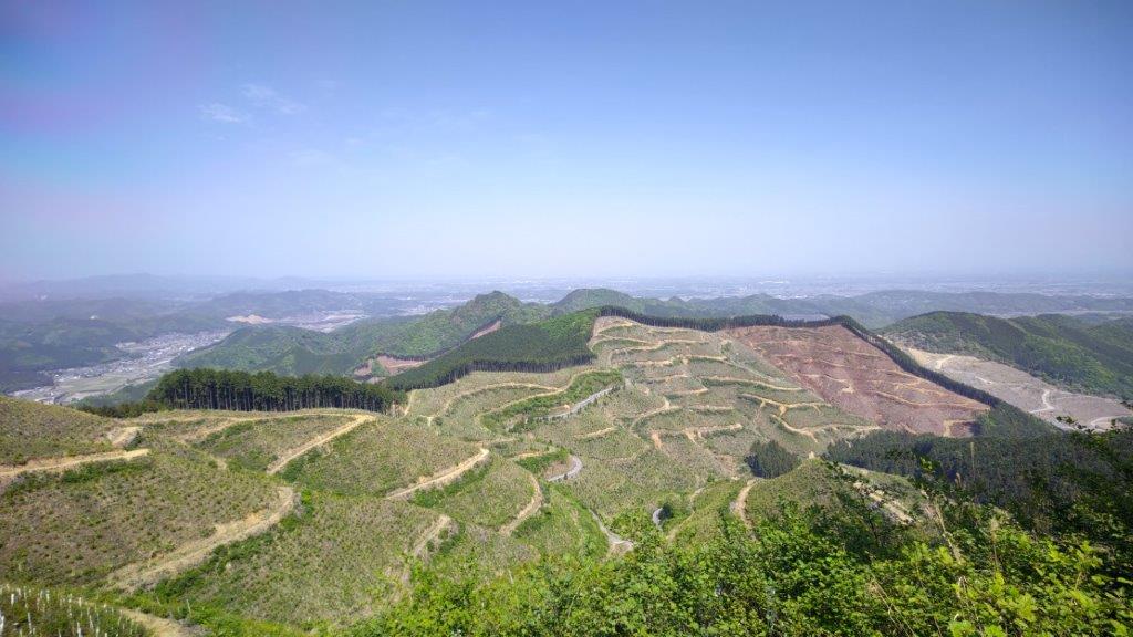
View South from the Summit
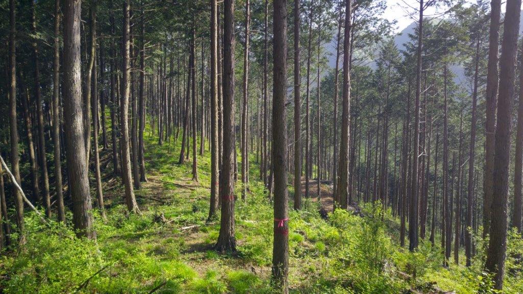
Trail-finding needed during the Descent
Carp streamers were flapping in the spring breeze as I waited for the minibus bus outside Tochigi station around 1030; I was the only passenger for most of the one-hour ride. I had a quick look at the Jomon era huts of the Hoshino Archaeological site (星野遺跡), and admired the stunning view of Mt Mitsumine directly opposite, before setting off a little after 11h30. Shortly past the village, I entered the forest and soon reached the start of the trail, following a disused forest road.
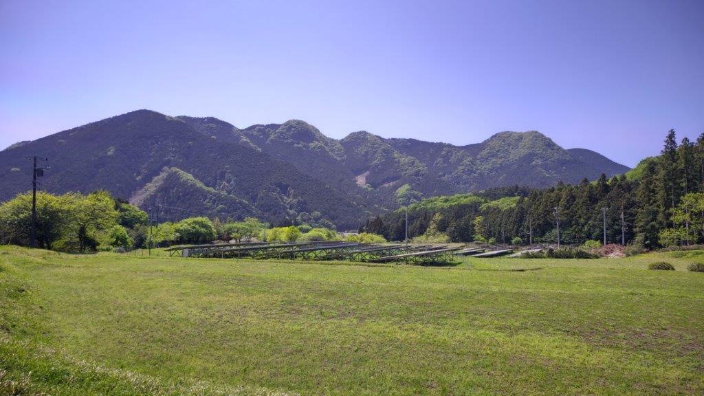
Mt Mitsumine from near the Trail Entrance
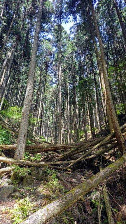

Obstacle Course up the Mountain
I had to clamber over, and pass under, countless fallen trees, before the path left the narrow valley, and headed directly up a steep slope. I had rarely experienced such a challenging and adventurous start, and without my phone GPS to show me the correct way, it would have taken a lot more time. I was glad when I finally reached a flat area on the top ridge, refreshingly cool in the shade of the new green of spring.
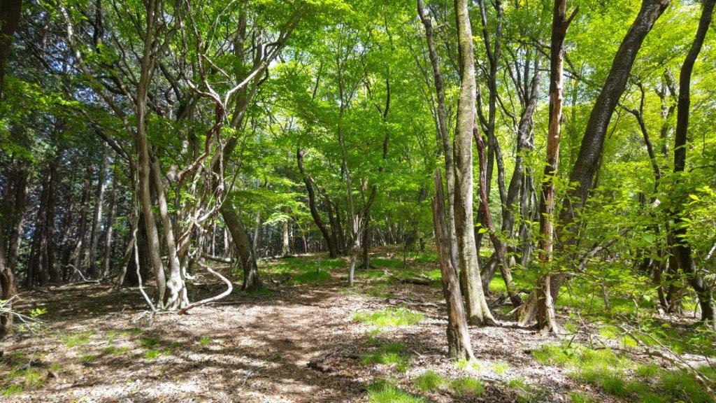
Flat Area on the Ridgeline


Nearly at the top (left) TV Antenna on the Summit (right)
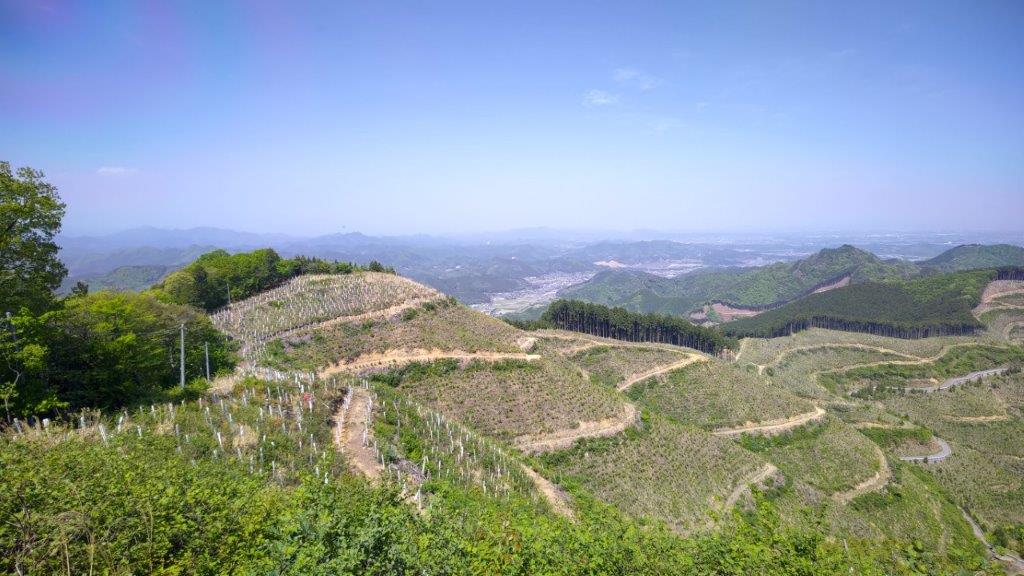
I was surrounded by bright red Azalea on both sides, as I followed the ridgeline southwards through the green forest. A little after 1pm, I reached the summit of Mt Yagura (谷倉山 やぐらさん yagura-san), a Tochigi 100 famous mountain. I dropped my pack next to the TV antenna, and went to enjoy the wide view on the other side: directly ahead, to the south, was the Kanto plain; on the east side, I could spot Mt Futamata in the distance.
View East towards Kanuma City

View West from the Summit
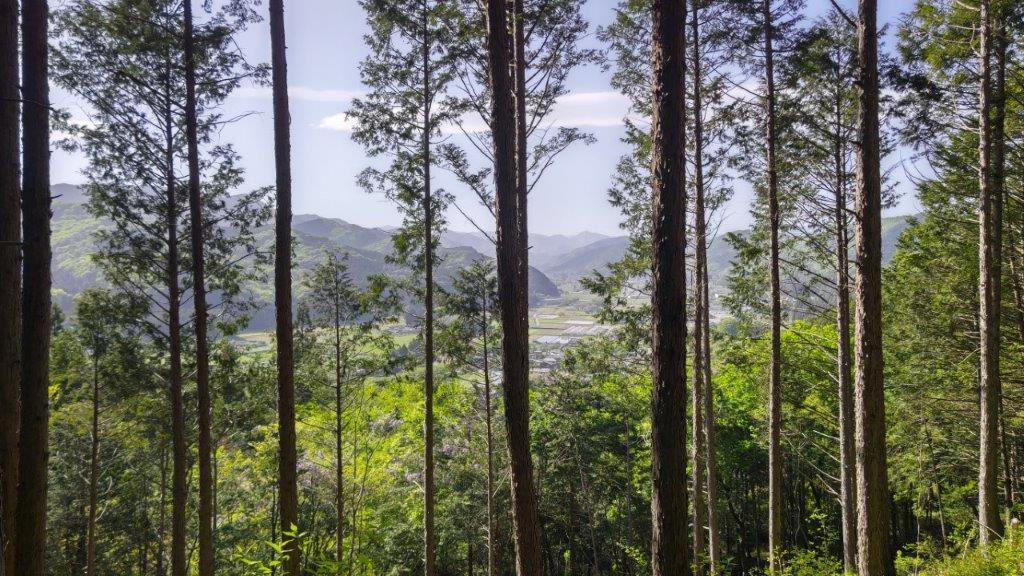
I was surprised to see that most of the trees on the south side had been cut down. I took a break for lunch, and at 2pm, retraced my steps past the spot I had joined the ridge, and from there continued northwards. After an up and down section, the path curved west and started to head down. Here again, the trail was hard to follow and I had to rely on my phone GPS. From time to time, I had glimpses of a flat valley and green hills on the north side through the trees. I saw no other hikers during the entire hike and it felt very peaceful.


Following the Ridgeline up and down


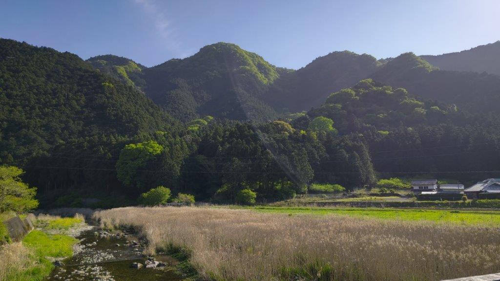
Walking down through the forest
I was nearly level with the base of the valley when the trail suddenly disappeared. After fighting my way through some thick bushes, I finally emerged onto a grassy path next shrine, just a few minutes from the bus stop. It was just past 3h30 and had a little time to cool down before catching the 4pm bus for Tochigi station, about an hour away from Ikebukuro by limited express.
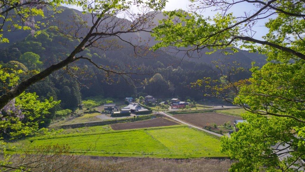
Back in the Valley
Mt Mitsumine from the end of the Trail
Although this hike took only 4 hours, it could have taken longer without my phone GPS. It’s a shame that the trail sections near the start and finish are unmaintained and hard to find, although it does guarantee some solitary hiking. On the summit, I discovered an unmarked path following the southwest ridge, so it might be interesting to try that in the future, especially since it is relatively close to Tokyo.
Watch a Video of the Mt Yagura Hike


See a Slideshow of some more pictures of the Mt Yagura Hike
