
I wanted to do a hike close to Tokyo to enjoy the cherry blossoms in full bloom. I decided to go to Oku-musashi and climb Mt Monomi for a second time. The first time, I had done a roundtrip from Mt Hiwada; this time, I would do a traverse from Lake Kamakita to Musashi-Yokote Station. I could get to the start of the trail by taking the Tobu line to Higashi-Moro station, then walk to the Moro Town Hall, from where I could catch the “Moro Bus Yuzu-go 1” to the lake; for the return, I would use the Seibu-Chichibu line. Once again, the forecast called for sunny weather and comfortable temperatures, and so I was looking forward to a relaxing spring hike close to home.

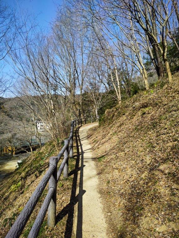
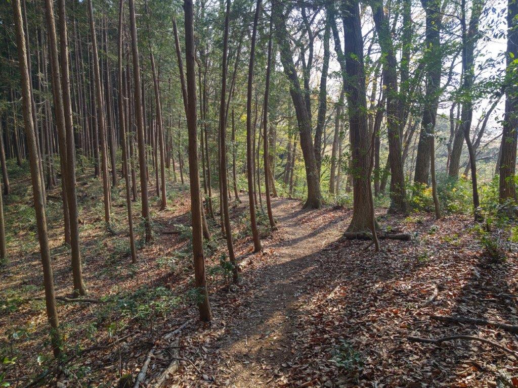
Trail between Shukuya Waterfall and Mt Monomi
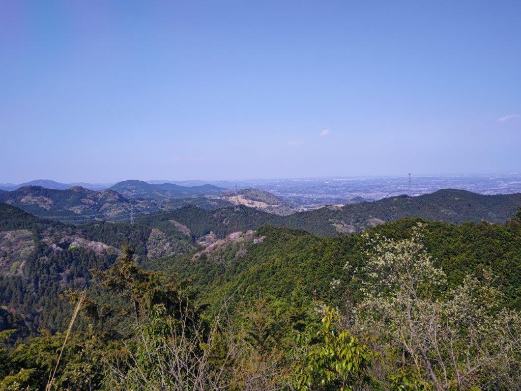
View from the top of Mt Sukari
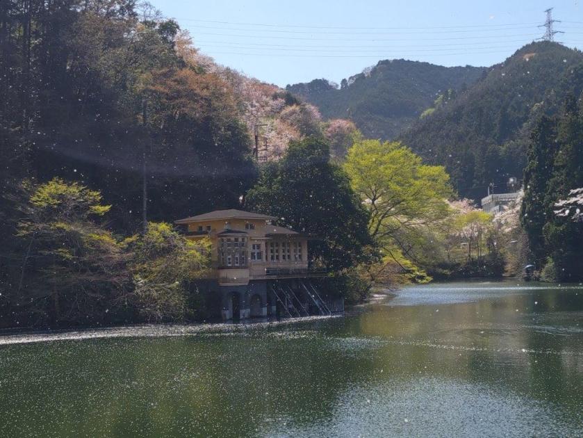
I was greeted by a flurry of pink petals as I got off the yellow mini-bus at Kamakita Lake just after 11am. After enjoying the “sakura” trees in full bloom, I set off along the Shukuya-Kamakita Hiking Route (宿谷鎌北湖ハイキングコース), arriving at Shukuya Waterfall (宿谷の滝) around noon. I was impressed by the wild beauty of this river valley, especially since it was so close to Tokyo. I followed the river upstream, sunlight streaming through the treetops. I soon arrived at the Shukuya small waterfall (宿谷小滝), a local power spot. After charging up, I left the river behind, and continued up a steep ridgeline.
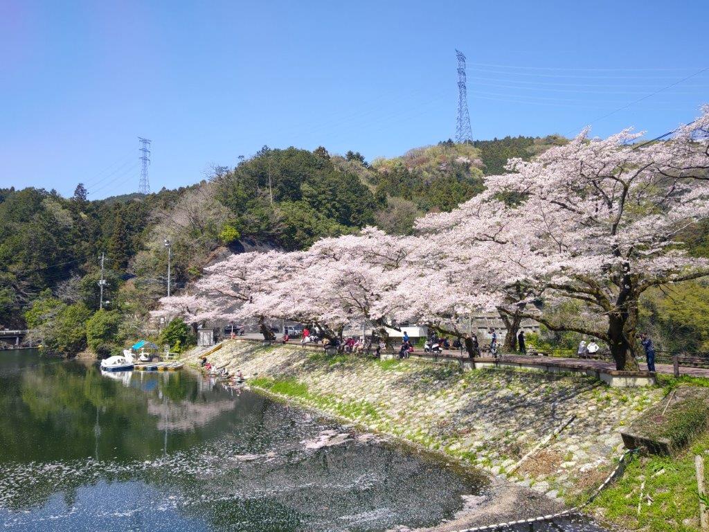
Cherry Blossoms next to Kamakita Lake
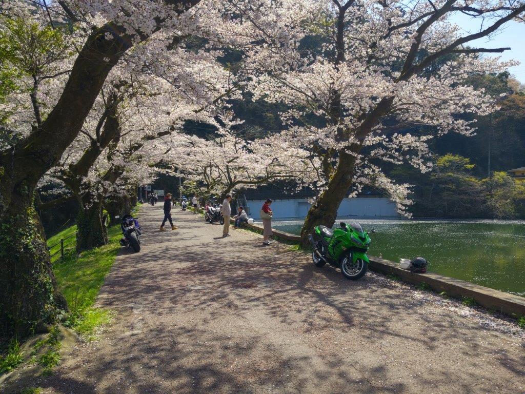
A secret cherry blossom spot close to Tokyo
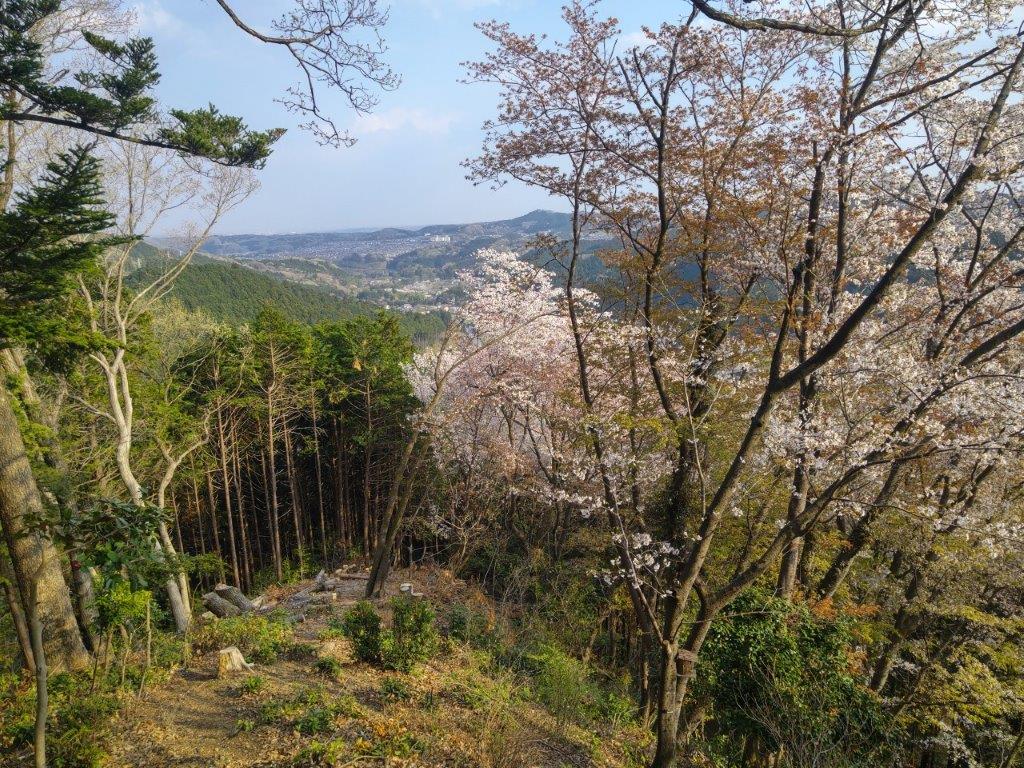
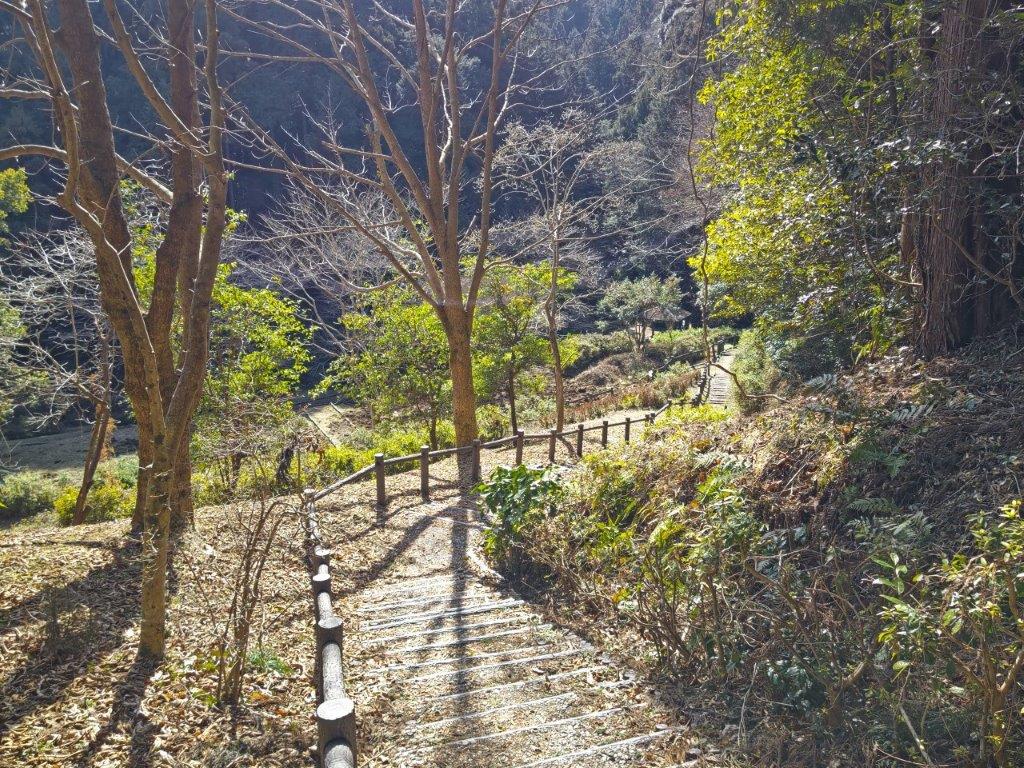
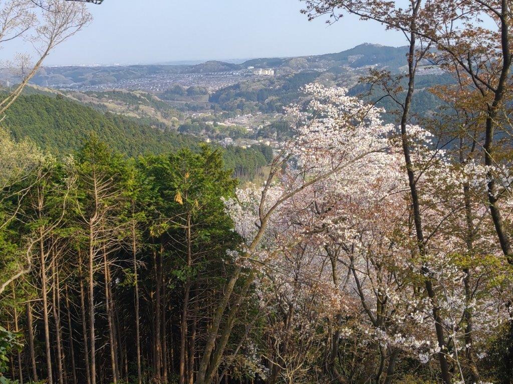
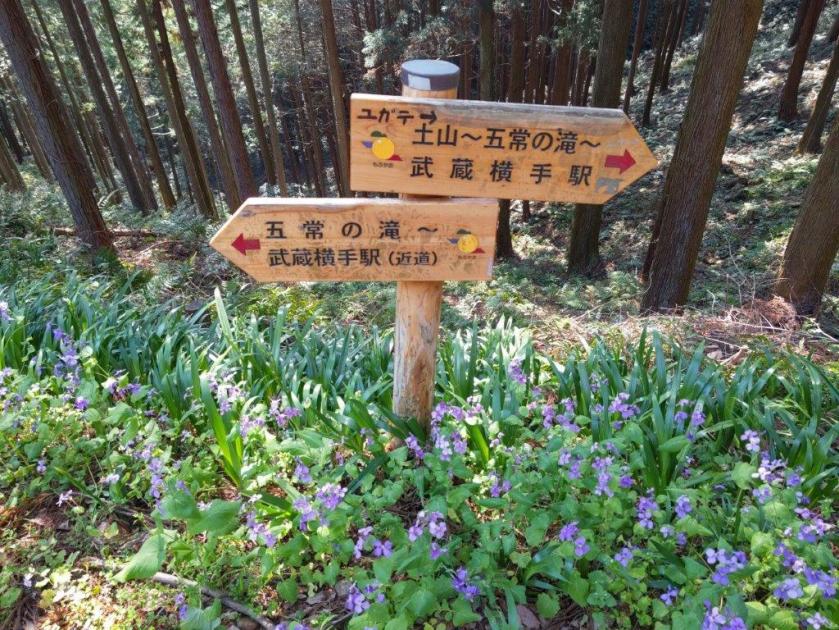
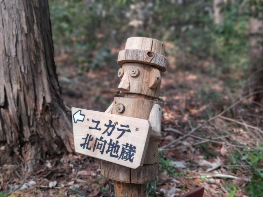
I had my first views of the day after reaching an area cleared of trees, near the top part of the ridge. At 1pm, after crossing a road, I arrived at the top of Mt Monomi (物見山 ものみやま monomi-yama), almost completely in the trees. After a short break, I turned right onto a wider trail through the cedars, and soon reached a crossroads at Kitamukijizo (北向地蔵), intersecting with my previous hike in the area. I continued along the Oku-Musashi Green Line for a while, before taking a trail on the right, passing the top of Mt Kannon-ga-take (観音ヶ岳 425m), and then arriving at the nearby summit of Mt Sukari (スカリ山 すかりやま) around 1h30.

Trail above Kamakita Lake (left) Shukuya Waterfall (right)
Hiking the Shukuya-Kamakita Lake Trail
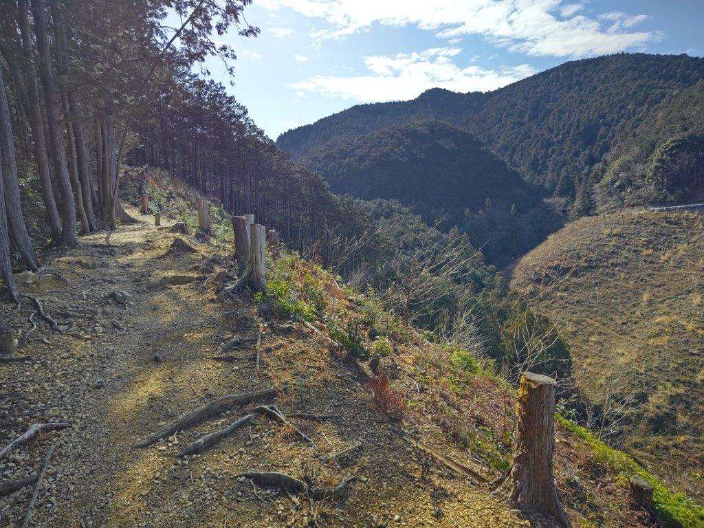
The green hills of Oku-Musashi stretched away on the north side, and the Kanto Plain extended into the distance on the east side. Trees blocked the views in other directions, but provided some welcome shade as I sat down on a bench for a late lunch. Afterwards, I retraced my steps to Kitamukijizo and headed along a mostly level path for Musashi-Yokote station. At 2h30, I passed by the minor summit of Nishi-Omine (西大峰 390m), completely in the trees, and just before 3pm, reached the top of Mt Fukazawa (深沢山 ふかざわやま fukazawa-yama), its name meaning “deep stream”, although no water could be seen or heard.
Viewpoint along the way to Mt Monomi
View of the Kanto Plain from Mt Sukari
I had a view of some “yamazakura” or Mountain Cherry Trees in full bloom, growing on the forested summit, while taking a short break on a solitary bench. Since leaving the Green Line, I had seen no other hikers and was able to fully enjoy the peace and quiet of the surrounding forest. After a short steep descent, I passed by the minor summit Mt Suisho (水晶山 266m), also completely in the trees, and a little later, passed under a crossing of two electrical power lines, a modern kind of power spot.


Hiking near Nishi-Omine (left) Hiking near Mt Suisho (right)
Hiking near Mt Fukuzawa
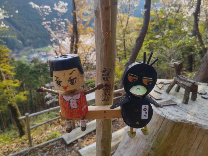
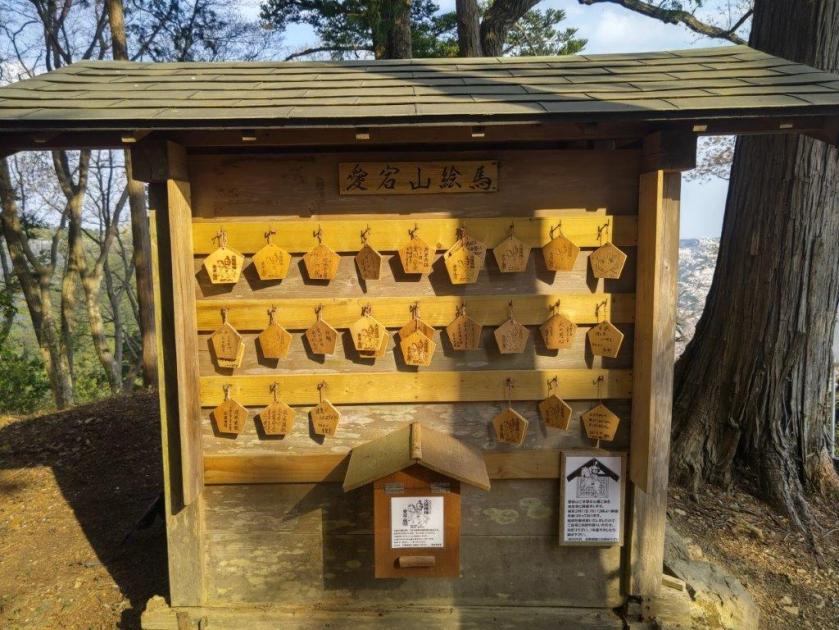
I was charmed by the many carved wood figures placed above the signs along this little known, but well-maintained trail. At 3h30, I reached the final summit of the day, Mt Atago (愛宕山 あたごやま atago-yama), also the location of a small shrine. However its most stunning aspect were the many cherry blossoms trees in full bloom on the valley side. Beyond, I could see Hanno City on the south side, and Mt Kamado across the valley on the west side. A couple of wood-carved binoculars supposedly allowed one to see the Tokyo Sky Tree and Mt Fuji, although today they were simply invisible.
View towards Hanno from Mt Atago

View of Mt Kamado from the summit of Mt Atago
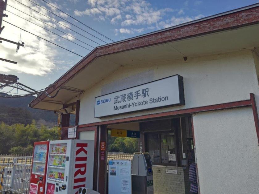
After one last look at the carvings, golden in the late afternoon sunlight, I headed downhill along a steep path through cedar forest. At 4pm, I reached Chonen-ji Temple (長念寺) at the base of the mountain and next to the busy Hanno-Chichibu road. After crossing Koma river, I took a shortcut along a back lane to Musashi-Yokote station; there I boarded the Seibu-Chichibu line for the short ride to Hanno station, where I transferred to the Laview limited express for the comfortable 40-minute ride back to Ikebukuro.

Afternoon light shining on the Mt Atago Shrine

Cherry blossom trees at the end of the hike
This hike took me about five hours, but could have been shortened by one hour if I had skipped the roundtrip to Mt Sukari. I was glad to have discovered a great trail next to the Koma valley, and that I was able to do it while the cherry blossoms were still at their best. Since it’s so close to Tokyo, I hope to be able to do redo it one day in the autumn.
See a Video of the Mt Monomi, Mt Sukari, Mt Fukazawa & Mt Atago Hike


See a slideshow of more pictures of the hike
