
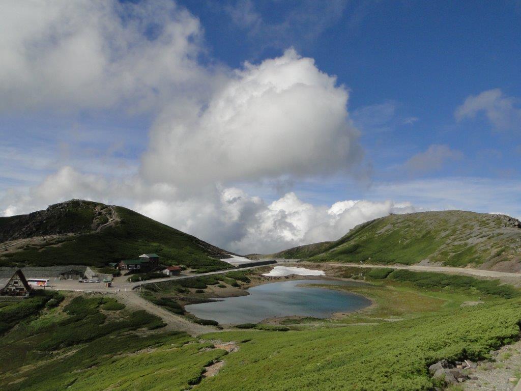
Hiking in the Chubu-Sangaku National Park
中部山岳国立公園
Hiking Japan’s hundred famous mountains
This map was developed for Japanwilds with the Hokkaido Cartographer
Find more Japan hiking maps on Avenza

Kengamine, the highest point of Norikura-dake
See Zengoro Waterfall in the foothills of Mt Norikura

