
I had been wanting to do a section of the Chiba Kanto Fureai no Michi for a while but it had been closed due to a landslide in 2021. It was supposed to be the continuation of a hike from March 2019. In the end, I decided to give up starting from Seichoji Temple. Instead, I would begin and end at Uchiurayama Forest, a short taxi ride from Awa-Kominato Station, which in turn was a two-hour trip from Tokyo with the Wakashio Limited Express.
Hiking in the Minami Boso Quasi-National Park
南房総国定公園
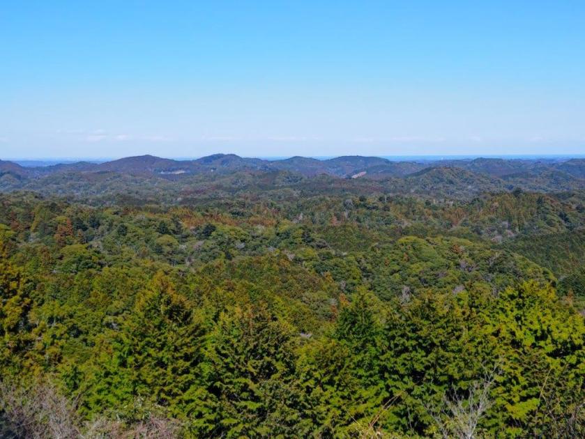
The hiking trails through the Forest were permanently closed due to typhoon damage in 2019, but I could explore the area by following narrow, winding mountain roads with little traffic. First, I would head north towards Katsuura Dam, then west and up to Mamenbara Highland, before finally making my way back down along the Fureai no Michi.
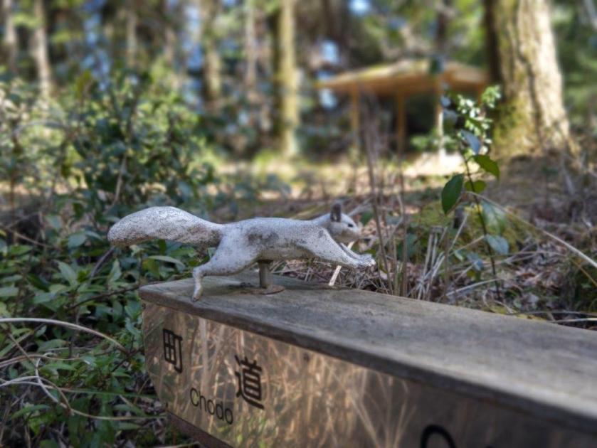
Hiking on the Kanto Fureai no Michi
関東ふれあいの道
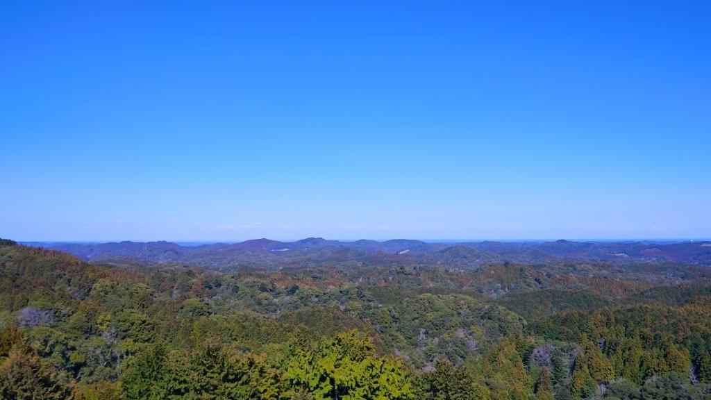
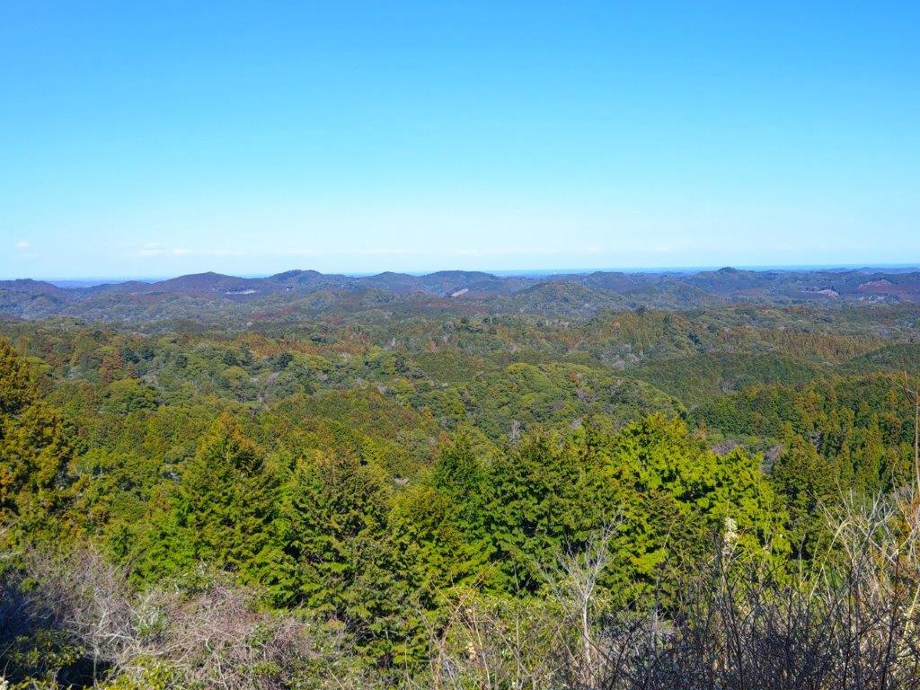
From the highest point of the Highland it was possible to get a view of the Pacific Ocean. The forecast called for clear skies all day and a moderate breeze. I was looking forward to seeing some new views, as well as revisiting the ancient forests of Boso peninsula.
For subscribers, read this Blog Post on Hiking Around Tokyo for a better viewing experience and the latest updates


Log Steps (left) & Hiking Trail (right) North of Katsuura Dam
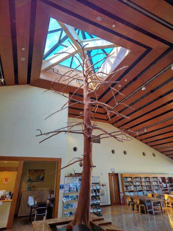

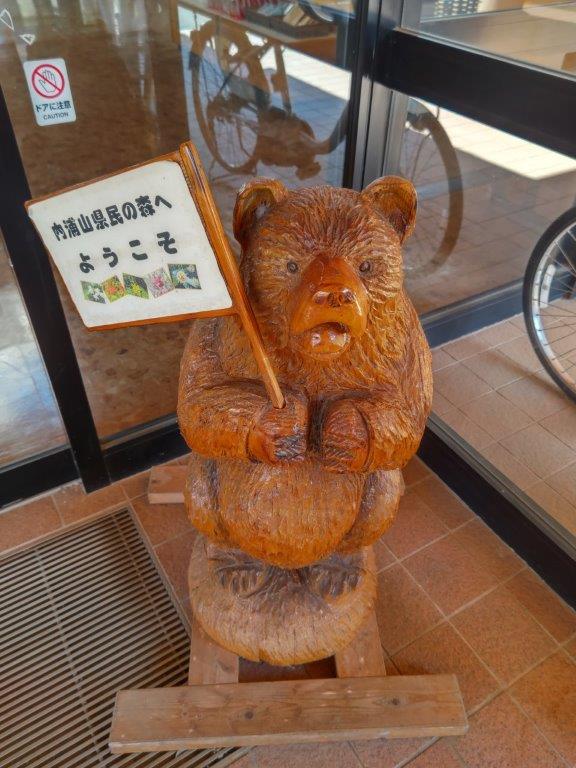
Inside the Uchiurayama Learning Center (left) Sequoia near Mominoki Soba (right)
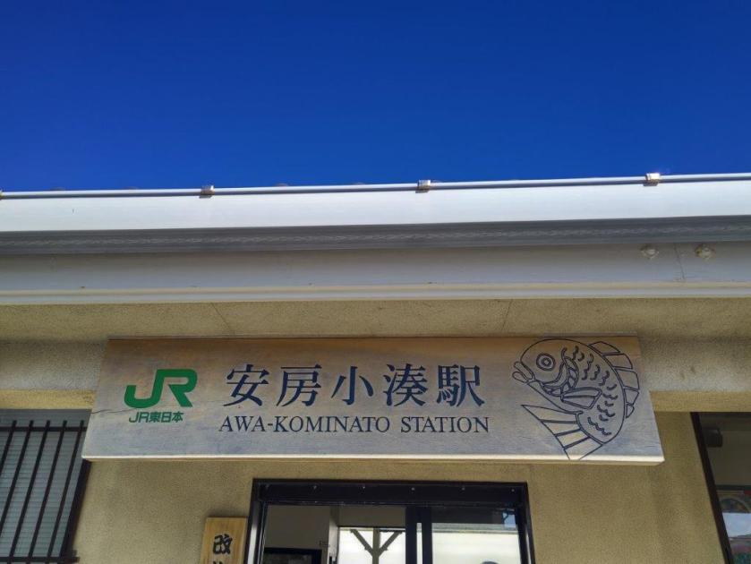
It was a sunny winter day as I rode the limited express from Akihabara station along the Sotobo line all the way to Kominato station, one stop from Awa-Kamogawa, the end of the line. While waiting for a taxi to arrive, I watched the waves wash up on Uchiura Beach. After arriving at the Uchiurayama Prefectural Forest (内浦山県民の森), I went inside the learning center to check out a relief map of the area showing the now defunct hiking trails. At 1030, I set off along the Uchiurayama forest road. At a fork in the road, I turned right for Katsuura Dam (勝浦ダム), a few minutes away.
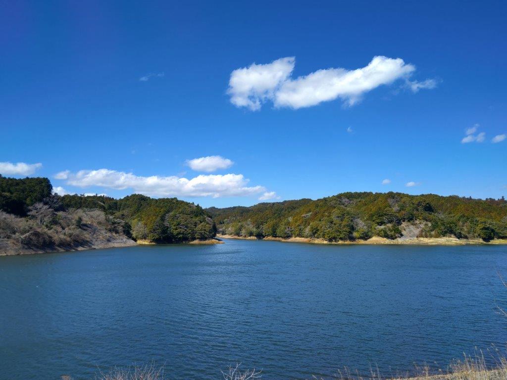
View West from Katsuura Dam

Hiking the Hills around Katsuura Dam
I was delighted to get a wide open view of blue waters and green shores, fluffy white clouds in the light blue sky completing this peaceful scene. I headed into the valley on the right and then followed a prefectural road northwards. After passing through a tunnel, I turned left, and soon reached the entrance of a trail on the left side. However, before diving into the forest, I decided to have lunch at the nearby Mominoki Soba Restaurant (もみの木庵), since it was nearly noon. After a filling soba meal, which I was able to eat at a table outside, I followed a signposted path to the top of a ridge on the north side of the dammed lake.

View of the Pacific from Mamenbara Kogen
View towards Yoro Keikoku from Mt Hatsuhi
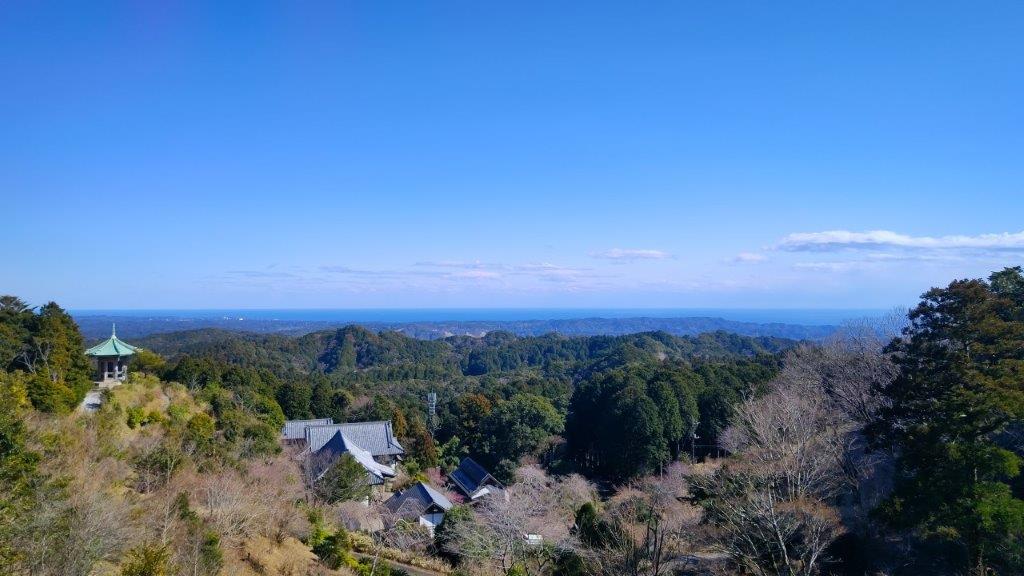
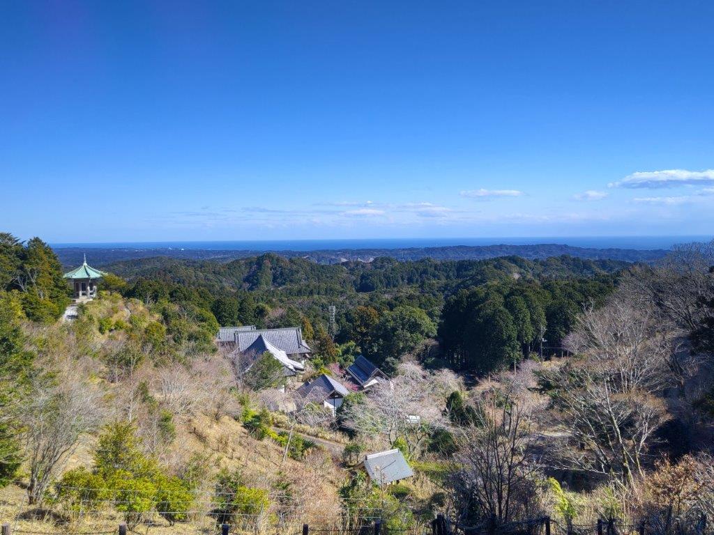
I was surprised by how faint the trail was, nature slowly reclaiming this ancient forest track. At 1230, I emerged onto a forest road opposite a wooden Shinto Gate. I turned left and ignoring a couple of side trails descending to the lake, arrived at a hard to spot trail on the right. On the way, I passed an open shelter; it used to have a view, but that was now blocked by pampas grass. This part was easier to follow, the up and down path winding through swaying cedars. At 1pm, I reached a road where I turned left. After one hour of climbing, I reached Mamenbara Highland (麻綿原高原) and the top of Mt Hatsuhi (初日山 はつひやま hatsuhiyama), inside Tenpai-en Garden (天拝園), famous for its Azalea in the spring.

View of Okuyatsu Number 2 Dam

View of the Pacific from Uchiura Beach
I was stunned by the extensive view on the east side, far better than I had imagined. On the north side, I could see the rolling green hills of Boso extending to the Yoro River valley; on the south side, I could see forested ridges ending at the Pacific Ocean; directly below was Myohosho-ji Temple (妙法生寺). After a short break, I made my way back to the road, and soon turned left onto the Fureai no Michi, leaving behind the closed section on the right. After an hour of downhill walking, I arrived at a rest spot next to Okuyatsu Number 2 Dam (奥谷第二ダム). I spent a few minutes gazing at the yellow waters dazzling in the afternoon sun, the silence broken by urgent quacking of ducks. After setting off again, at a bend in the road, I spotted a “kyon“, a kind of miniature deer, darting into the bushes. At 3h30, I was back at the learning center, giving me plenty of time to catch the limited express for the two hour return trip to Tokyo.
Watch the Video of the Hike on YouTube


See a Slideshow of More Pictures of the Hike
